
File:Highland UK relief location map.jpg

Size of this preview: 555 × 599 pixels. Other resolutions: 222 × 240 pixels | 445 × 480 pixels | 711 × 768 pixels | 949 × 1,024 pixels | 2,000 × 2,159 pixels.
Original file (2,000 × 2,159 pixels, file size: 967 KB, MIME type: image/jpeg)
| This is a file from the Wikimedia Commons. Information from its description page there is shown below. Commons is a freely licensed media file repository. You can help. |
| Description |
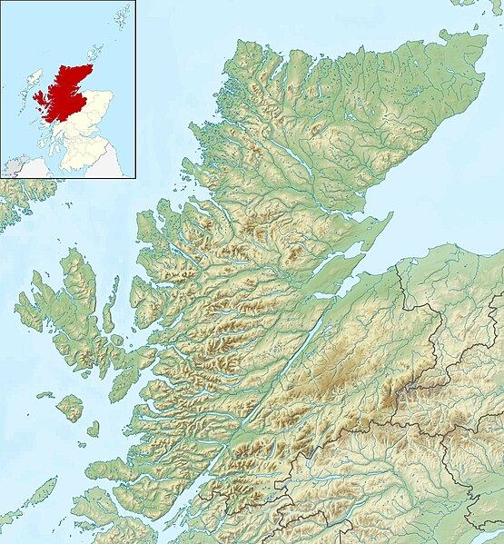
Relief map of Highland, UK. Equirectangular map projection on WGS 84 datum, with N/S stretched 180% Geographic limits:
|
| Date | |
| Source |
|
| Author | Nilfanion, created using Ordnance Survey data |
| Permission (Reusing this file) |
This file is licensed under the Creative Commons Attribution-Share Alike 3.0 Unported license. Attribution: Contains Ordnance Survey data © Crown copyright and database right
|
| Other versions | File:Highland UK blank map.svg - Blank map |
File history
Click on a date/time to view the file as it appeared at that time.
| Date/Time | Thumbnail | Dimensions | User | Comment | |
|---|---|---|---|---|---|
| current | 12:22, 30 November 2011 | | 2,000 × 2,159 (967 KB) | Nilfanion | {{Information |Description=Relief map of Highland, UK. Equirectangular map projection on WGS 84 datum, with N/S stretched 180% Geographic limits: *West: 6.9W *East: 2.9W *North: 58.8N *South: 56.4N |Source=[[w:Ordnance Surv |
File usage
More than 100 pages use this file. The following list shows the first 100 pages that use this file only. A full list is available.
- A' Chràlaig
- A' Mhaighdean
- A' Mharconaich
- Abernethy Forest
- Affric-Beauly hydro-electric power scheme
- Am Bodach
- Am Buachaille
- An Socach (Glen Cannich)
- Askival
- Battle of Glen Shiel
- Beauly Firth
- Beinn Eilideach
- Beinn Fhionnlaidh (Mullardoch)
- Beinn a' Bhathaich Àrd
- Blackwater Reservoir
- Bottle Island
- Breadalbane Hydro-Electric Scheme
- Creag Meagaidh
- Cuillin
- Càrn Dearg, Monadh Liath
- Càrna
- Cùl Beag
- Dornoch Firth
- Eilean Aigas
- Eilean Choraidh
- Eilean Hoan
- Eilean Horrisdale
- Eilean Ighe
- Eilean Munde
- Eilean Mòr, Loch Sunart
- Eilean Sùbhainn
- Eilean Trodday
- Eilean an Ròin Mòr
- Eilean nan Ròn
- Fladda-chùain
- Garbh Eilean, Loch Maree
- Glen Affric
- Glen Coe
- Glen Strathfarrar
- Glencoe Lochan
- Glendoe Hydro Scheme
- Glenmore Forest Park
- Horse Island, Summer Isles
- Innis Mhòr
- Isay
- Island of Stroma
- Isle Martin
- Isle of Ewe
- Kintail
- Kyle of Sutherland
- Lampay
- Loch A'an
- Loch Calder
- Loch Cluanie
- Loch Coruisk
- Loch Dùghaill
- Loch Eilt
- Loch Ewe
- Loch Garry
- Loch Insh
- Loch Killin
- Loch Laggan
- Loch Lochy
- Loch Long, Highlands
- Loch Loyal
- Loch Maree
- Loch Mealt
- Loch Migdale
- Loch Monar
- Loch Morlich
- Loch Màma
- Loch Oich
- Loch Quoich
- Loch Ruthven
- Loch Scaven
- Loch Shiel
- Loch Shin
- Loch Spey
- Loch Torridon
- Loch Treig
- Loch Watten
- Loch an Eilein
- Loch na Creige Duibhe (Lochaber)
- Lochindorb
- Longa Island
- Longay
- Meall Fuar-mhonaidh
- Mingay
- Neave Island
- Oronsay, Loch Sunart
- Priest Island
- River Conon
- River Morar
- River Moriston
- River Shin
- Sgorr na Dìollaid
- Suilven
- Tanera Beag
- The Aird
- Torridon Hills
View more links to this file.
Global file usage
The following other wikis use this file:
- Usage on ar.wikipedia.org
- Usage on arz.wikipedia.org
- Usage on ba.wikipedia.org
- Usage on bg.wikipedia.org
- Usage on ceb.wikipedia.org
- Usage on de.wikipedia.org
- Innere Hebriden
- Loch Ness
- Ben Nevis
- Eilean Donan Castle
- Urquhart Castle
- Canna
- Loch Morar
- Loch Linnhe
- Ardnamurchan
- Loch Oich
- Loch Shin
- Girnigoe and Sinclair Castle
- Dunvegan Castle
- Eilean Horrisdale
- Camus nan Geall
- Glen Coe
- Loch Lochy
- Loch Arkaig
- Loch Maree
- Ballone Castle
- Soay (Innere Hebriden)
- Ascrib Islands
- Eilean Trodday
- Wiay
- Loch Shiel
- Bealach na Bà
- Loch Assynt
- Loch Affric
- Loch Beinn a’ Mheadhoin
- Loch Cluanie
- Loch Coruisk
- Loch Dochfour
- Loch Dùghaill
- Loch an Eilean
- Loch Einich
- Loch Ericht
- Loch Loyal
- Càrn Eighe
- Cairn Gorm
- Glen Affric
- Brochel Castle
View more global usage of this file.