
File:Harbour 2, South Shields, South Tyneside, Tyne and Wear, England.JPG

Size of this preview: 800 × 531 pixels. Other resolutions: 320 × 213 pixels | 640 × 425 pixels | 1,024 × 680 pixels | 1,287 × 855 pixels.
Original file (1,287 × 855 pixels, file size: 518 KB, MIME type: image/jpeg)
| This is a file from the Wikimedia Commons. Information from its description page there is shown below. Commons is a freely licensed media file repository. You can help. |
Summary
| Description |
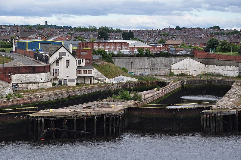
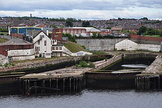
English: Abandoned docks in the harbour of South Shields (South Tyneside, Tyne and Wear, England, United Kingdom) |
| Date | |
| Source | Own work |
| Author | Vincent van Zeijst |
| Camera location | | View this and other nearby images on: OpenStreetMap |
|---|
Licensing
I, the copyright holder of this work, hereby publish it under the following license:
This file is licensed under the Creative Commons Attribution 3.0 Unported license.
- You are free:
- to share – to copy, distribute and transmit the work
- to remix – to adapt the work
- Under the following conditions:
- attribution – You must give appropriate credit, provide a link to the license, and indicate if changes were made. You may do so in any reasonable manner, but not in any way that suggests the licensor endorses you or your use.
File history
Click on a date/time to view the file as it appeared at that time.
| Date/Time | Thumbnail | Dimensions | User | Comment | |
|---|---|---|---|---|---|
| current | 16:50, 31 July 2010 | | 1,287 × 855 (518 KB) | Loranchet | {{Information |Description={{en|1=Abandoned docks in the harbour of South Shields (South Tyneside, Tyne and Wear, England, United Kingdom)}} |Source=Own work |Author=Vincent van Zeijst |Date=18 July 2010 |Permission= |other_versions= }} {{location|54|59|3 |
File usage
The following pages on the English Wikipedia use this file (pages on other projects are not listed):
Global file usage
The following other wikis use this file:
- Usage on azb.wikipedia.org
- Usage on nl.wikipedia.org
- Usage on ta.wikipedia.org
- Usage on zh.wikipedia.org