
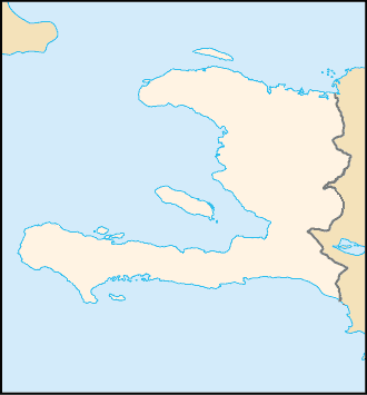
File:Haiti-locator.png
No higher resolution available.
Haiti-locator.png (330 × 355 pixels, file size: 5 KB, MIME type: image/png)
| This is a file from the Wikimedia Commons. Information from its description page there is shown below. Commons is a freely licensed media file repository. You can help. |
| Description |
Čeština: Slepá mapa Haiti pro použití pomocí GeoLocatoru |
| Date | |
| Source | image:Haiti map.png |
| Author | user:Obersachse |
| This image is a work of a Central Intelligence Agency employee, taken or made as part of that person's official duties. As a Work of the United States Government, this image or media is in the public domain in the United States.
|

|

|
File:Haiti locator map.svg is a vector version of this file. It should be used in place of this PNG file when not inferior.
File:Haiti-locator.png → File:Haiti locator map.svg
For more information, see Help:SVG. |
 |
File history
Click on a date/time to view the file as it appeared at that time.
| Date/Time | Thumbnail | Dimensions | User | Comment | |
|---|---|---|---|---|---|
| current | 21:16, 2 June 2007 | | 330 × 355 (5 KB) | Obersachse | {{Information |Description= |Source=image:Haiti map.png |Date=2007-06-01 |Author=user:Obersachse |Permission= |other_versions= }} {{PD-USGov-CIA}} |
File usage
The following pages on the English Wikipedia use this file (pages on other projects are not listed):
Global file usage
The following other wikis use this file:
- Usage on www.wikidata.org