
File:Gokurakuzaka-Pass Kamakura Inamuragasaki side.jpg
Size of this preview: 800 × 536 pixels. Other resolutions: 320 × 214 pixels | 640 × 428 pixels | 1,024 × 685 pixels | 1,280 × 857 pixels | 2,560 × 1,714 pixels | 3,872 × 2,592 pixels.
Original file (3,872 × 2,592 pixels, file size: 5.27 MB, MIME type: image/jpeg)
| This is a file from the Wikimedia Commons. Information from its description page there is shown below. Commons is a freely licensed media file repository. You can help. |
Summary
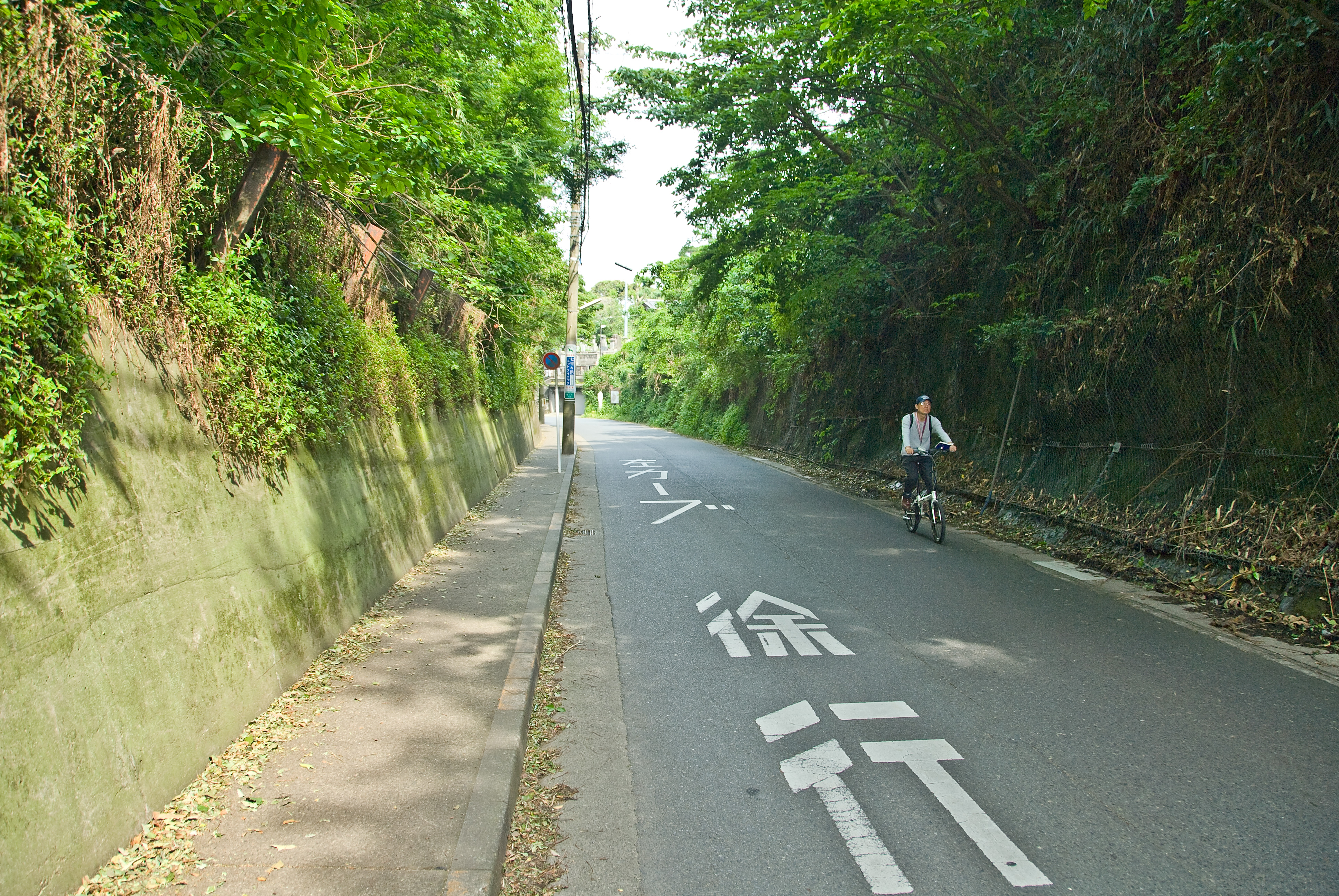
| Description | The external side of the Gokurakuji-zaka Pass near Hase. The pass is much longer, here you see only its narrowest point. |
| Date | |
| Source | Own work |
| Author | Tarourashima |
| Permission (Reusing this file) |
Public Domain |
| Camera location | | View this and other nearby images on: OpenStreetMap |
|---|
Licensing
| I, the copyright holder of this work, release this work into the public domain. This applies worldwide. In some countries this may not be legally possible; if so: I grant anyone the right to use this work for any purpose, without any conditions, unless such conditions are required by law. |
File history
Click on a date/time to view the file as it appeared at that time.
| Date/Time | Thumbnail | Dimensions | User | Comment | |
|---|---|---|---|---|---|
| current | 05:35, 27 May 2008 | | 3,872 × 2,592 (5.27 MB) | Urashimataro | {{Information |Description=The external side of the Gokurakuzaka Pass near Hase. What you see is the entrance to the narrowest point. |Source=self-made |Date=May 26, 2008 |Author= Tarourashima |Permission=Public Domain |other_version |
File usage
The following pages on the English Wikipedia use this file (pages on other projects are not listed):
Global file usage
The following other wikis use this file:
- Usage on es.wikipedia.org
- Usage on fr.wikipedia.org
- Usage on nl.wikipedia.org
- Usage on www.wikidata.org