
File:Gilgit Baltistan relief map.svg

Size of this PNG preview of this SVG file: 793 × 599 pixels. Other resolutions: 318 × 240 pixels | 635 × 480 pixels | 1,016 × 768 pixels | 1,280 × 967 pixels | 2,560 × 1,935 pixels | 1,720 × 1,300 pixels.
Original file (SVG file, nominally 1,720 × 1,300 pixels, file size: 5.57 MB)
| This is a file from the Wikimedia Commons. Information from its description page there is shown below. Commons is a freely licensed media file repository. You can help. |
Summary
| Description |
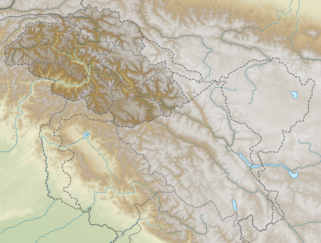
English: Gilgit-Baltistan relief map. Elevation data from STRM. |
| Date | |
| Source | File:India_Jammu_and_Kashmir_location_map_UN_view.svg |
| Author | Own work based on NordNordWest |
Licensing
This file is licensed under the Creative Commons Attribution-Share Alike 3.0 Unported license.
- You are free:
- to share – to copy, distribute and transmit the work
- to remix – to adapt the work
- Under the following conditions:
- attribution – You must give appropriate credit, provide a link to the license, and indicate if changes were made. You may do so in any reasonable manner, but not in any way that suggests the licensor endorses you or your use.
- share alike – If you remix, transform, or build upon the material, you must distribute your contributions under the same or compatible license as the original.
File history
Click on a date/time to view the file as it appeared at that time.
| Date/Time | Thumbnail | Dimensions | User | Comment | |
|---|---|---|---|---|---|
| current | 16:21, 24 October 2020 | | 1,720 × 1,300 (5.57 MB) | C1MM | Shifted image slightly |
| 05:52, 17 April 2020 |  | 1,722 × 1,301 (9.37 MB) | C1MM | Uploaded a work by Own work based on NordNordWest from File:India_Jammu_and_Kashmir_location_map_UN_view.svg with UploadWizard |
File usage
No pages on the English Wikipedia use this file (pages on other projects are not listed).
Global file usage
The following other wikis use this file:
- Usage on de.wikipedia.org
- Nanga Parbat
- Godwin-Austen-Gletscher
- Oberer Kachura-See
- Unterer Kachura-See
- Fort Baltit
- Lukpe Lawo
- Zentral-Karakorum-Nationalpark
- Ghamubar Zom
- Momhilgletscher
- Dofana
- Chongra
- Ganalo
- Rupalgletscher
- Shaigiri
- Toshaingletscher
- Rakhiot Peak
- Kutiah-Lungma-Gletscher
- Attabad-See
- Vorlage:Positionskarte Pakistan Gilgit-Baltistan
- Usage on eo.wikipedia.org
- Usage on es.wikipedia.org
- Usage on fr.wikipedia.org
- Usage on id.wikipedia.org
- Usage on lv.wikipedia.org
- Usage on te.wikipedia.org
- Usage on tl.wikipedia.org
- Usage on uk.wikipedia.org