
File:German Empire 1937 adm location map.svg

Original file (SVG file, nominally 1,425 × 1,133 pixels, file size: 763 KB)
| This is a file from the Wikimedia Commons. Information from its description page there is shown below. Commons is a freely licensed media file repository. You can help. |
Summary
| Description |
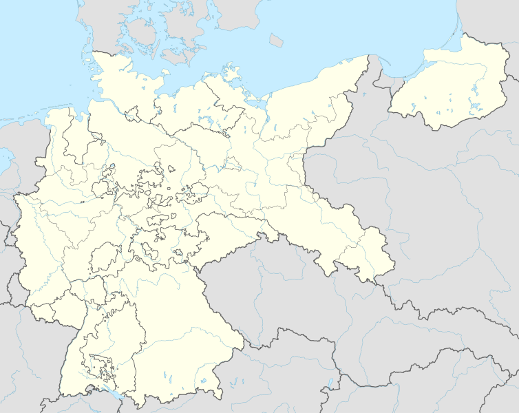
Deutsch: Positionskarte für das Deutsche Reich, 1937
English: Location map of the German Reich (Germany), 1937
|
||||||||||||
| Date | |||||||||||||
| Source |
Own work using:
|
||||||||||||
| Author | NordNordWest | ||||||||||||

|
This map has been made or improved in the German Kartenwerkstatt (Map Lab). You can propose maps to improve as well.
|
Licensing
Usage of this file with:

explanatory notes: Legally binding is only the full legalcode. For a free usage I recommend to respect the following licence conditions:
1. Provide my name as given above: NordNordWest,
2. a copy of, or the URI for, the applicable license: https://creativecommons.org/licenses/by-sa/3.0/de/legalcode,
3. the title of the work,
4. in the case of an adaptation, a credit identifying the use of the work in the adaptation.
This license and the rights granted hereunder will terminate automatically upon any breach by you of the terms of this license. Any of the above conditions can be waived if you get permission from the copyright holder. If you have questions or wish differing conditions, please contact me through nnwest or my discussion page ![]() t-online.de
t-online.de
- You are free:
- to share – to copy, distribute and transmit the work
- to remix – to adapt the work
- Under the following conditions:
- attribution – You must give appropriate credit, provide a link to the license, and indicate if changes were made. You may do so in any reasonable manner, but not in any way that suggests the licensor endorses you or your use.
- share alike – If you remix, transform, or build upon the material, you must distribute your contributions under the same or compatible license as the original.

File history
Click on a date/time to view the file as it appeared at that time.
| Date/Time | Thumbnail | Dimensions | User | Comment | |
|---|---|---|---|---|---|
| current | 18:01, 15 June 2015 | | 1,425 × 1,133 (763 KB) | NordNordWest | c |
| 21:36, 13 June 2015 |  | 1,425 × 1,133 (763 KB) | NordNordWest | == {{int:filedesc}} == {{Information |Description= {{de|1=Positionskarte für das Deutsche Reich 1937}} {{en|1=Location map of the German Empire 1937}} {{Location map series N |stretching=160 |top=56.0 |bottom=47.2 |left=5.5 |right=23.2 }} |Source={{Ow... |
File usage
- 1938 World Men's Handball Championship
- 1940 Summer Olympics torch relay
- 19th Army (Wehrmacht)
- 4th Panzer Army
- Battle of Bautzen (1945)
- Battle of Heilbronn (1945)
- Battle of Kolberg (1945)
- Bergen-Belsen concentration camp
- Bombing of Obersalzberg
- Camp Fünfeichen
- Carlshof Institutions
- Dachau concentration camp
- Dulag Luft
- Fredy Hirsch
- Friesack Camp
- Führerhauptquartier Tannenberg
- Gleiwitz incident
- Marlag und Milag Nord
- Mittelbau-Dora concentration camp
- Mittelwerk
- Nazi concentration camps
- Oflag 79
- Oflag II-A
- Oflag II-C
- Oflag II-D
- Oflag IV-A
- Oflag IV-B Königstein
- Oflag IV-C
- Oflag IX-A/H
- Oflag IX-C
- Oflag V-B
- Oflag VI-B
- Oflag VII-A Murnau
- Oflag VII-B
- Oflag VII-C
- Oflag VII-D
- Oflag VIII-F
- Oflag X-B
- Oflag X-C
- Oflag X-D
- Oflag XII-A
- Oflag XII-B
- Oflag XIII-A
- Oflag XIII-B
- Provincial Mental Sanatorium Kortau
- Prudnik Synagogue
- Stalag 383
- Stalag I-A
- Stalag I-B
- Stalag II-B
- Stalag II-D
- Stalag III-A
- Stalag III-C
- Stalag III-D
- Stalag IV-A
- Stalag IV-B
- Stalag IV-D
- Stalag IV-E
- Stalag IV-F
- Stalag IV-G
- Stalag IX-B
- Stalag IX-C
- Stalag Luft 7
- Stalag Luft I
- Stalag Luft III
- Stalag Luft IV
- Stalag V-A
- Stalag VI-B
- Stalag VI-K
- Stalag VII-A
- Stalag VIII-A
- Stalag VIII-B
- Stalag VIII-C
- Stalag VIII-E
- Stalag VIII-F
- Stalag X-B
- Stalag XI-A
- Stalag XIII-C
- Stalag XIII-D
- Stalags XI-B, XI-D, and 357
- Task Force Baum
- Wolf's Lair
- Module:Location map/data/Germany 1937
- Module:Location map/data/Germany 1937/doc
Global file usage
The following other wikis use this file:
- Usage on ar.wikipedia.org
- Usage on az.wikipedia.org
- Usage on ba.wikipedia.org
- Usage on ca.wikipedia.org
- Usage on ceb.wikipedia.org
- Usage on da.wikipedia.org
- Usage on de.wikipedia.org
- Harburg-Wilhelmsburg
- Tannenberg-Denkmal
- Reichs-Rundfunk-Gesellschaft
- Benutzer Diskussion:Spischot
- Wikipedia:Kartenwerkstatt/Positionskarten/Europa
- Geschichte des Hörfunks in Deutschland
- Vorlage:Positionskarte Deutsches Reich
- Benutzer:Scialfa/Muna
- Benutzer:Joellewi/Standorte in Deutschland
- Wikipedia:Kartenwerkstatt/Archiv/2016-09
- Wikipedia Diskussion:Kartenwerkstatt/Archiv7
- Benutzer Diskussion:Markus Schulenburg/Infobox historischer Landkreis
- Usage on eo.wikipedia.org
- Usage on es.wikipedia.org
- Usage on fa.wikipedia.org
- Usage on fr.wikipedia.org
- Camp de concentration de Neuengamme
- Bergen-Belsen
- Ravensbrück
- Buchenwald
- Gross-Rosen
- Camp de concentration de Lichtenburg
- Wolfsschanze
- Camp de concentration de Dora
- Camp de concentration du Stutthof
- Camp de concentration de Börgermoor
- Camp de concentration de Kemna
- Camp de concentration d'Osthofen
- Camp de concentration de Wöbbelin
- Camp de concentration de Bad Sulza
- Camp de concentration de Brandebourg-sur-la-Havel
- Camp de concentration de Breitenau
- Camp de concentration de Leschwitz
- Camp de concentration de Sachsenburg
- Camp de concentration de Wittmoor
- Camp de concentration de Welzheim
- Camp de concentration de Benninghausen
- Camp de concentration de Moringen
- Langenstein-Zwieberge
- Camp de concentration de Kislau
- Camp de concentration d'Oranienbourg
View more global usage of this file.