
File:Fisher Site fields.jpg
Size of this preview: 800 × 600 pixels. Other resolutions: 320 × 240 pixels | 640 × 480 pixels | 1,024 × 768 pixels | 1,280 × 960 pixels | 2,560 × 1,920 pixels | 2,816 × 2,112 pixels.
Original file (2,816 × 2,112 pixels, file size: 3.11 MB, MIME type: image/jpeg)
| This is a file from the Wikimedia Commons. Information from its description page there is shown below. Commons is a freely licensed media file repository. You can help. |
|
This is an image of a place or building that is listed on the National Register of Historic Places in the United States of America. Its reference number is 82001536. |
| Camera location | | View this and other nearby images on: OpenStreetMap |
|---|
| Description |
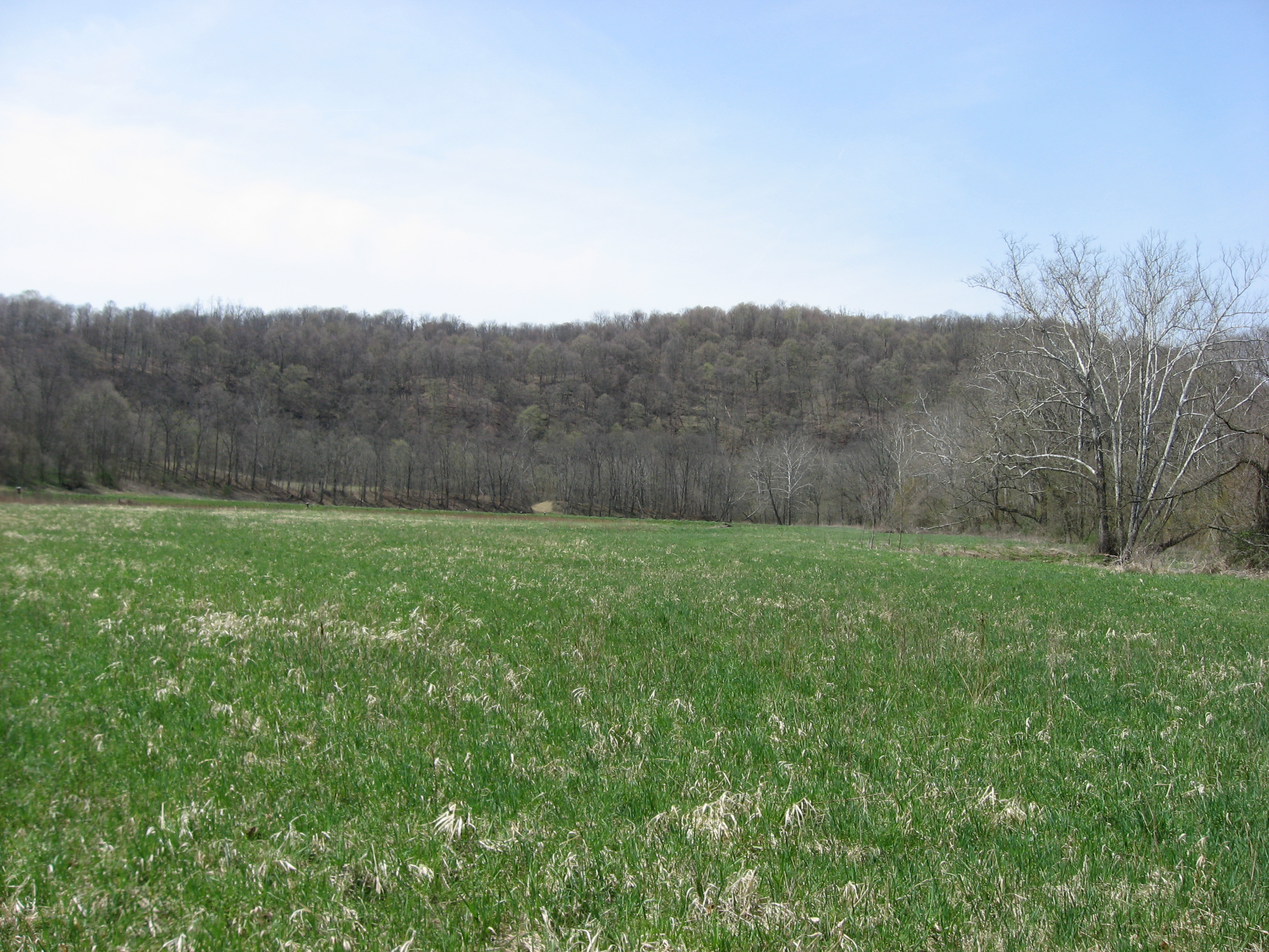
English: Fields at the Fisher Site, located off Camp Resort Road along the Enlow Fork in Richhill Township, Greene County, Pennsylvania, United States. The Fisher Site is an archaeological site that was once a village of the Monongahela culture of Native Americans. It is listed on the National Register of Historic Places. |
||
| Date | Taken on 15 April 2011 | ||
| Source | Own work | ||
| Author | Nyttend | ||
| Permission (Reusing this file) |
|
File history
Click on a date/time to view the file as it appeared at that time.
| Date/Time | Thumbnail | Dimensions | User | Comment | |
|---|---|---|---|---|---|
| current | 23:02, 19 April 2011 | | 2,816 × 2,112 (3.11 MB) | Nyttend | {{Location|39|57|36|N|80|28|0|W}} {{Information |Description={{en|Fields at the {{w|Fisher Site}}, located off Camp Resort Road along the Enlow Fork in {{w|Richhill Township, Greene County, Pennsylvania|Richhill Township}}, {{w|Greene County, Pennsylvania |
File usage
The following pages on the English Wikipedia use this file (pages on other projects are not listed):
Global file usage
The following other wikis use this file:
- Usage on www.wikidata.org