
File:First Science Building, University of Rajshahi.JPG
Size of this preview: 800 × 510 pixels. Other resolutions: 320 × 204 pixels | 640 × 408 pixels | 1,024 × 653 pixels | 1,280 × 816 pixels | 2,560 × 1,632 pixels | 4,471 × 2,851 pixels.
Original file (4,471 × 2,851 pixels, file size: 7.17 MB, MIME type: image/jpeg)
| This is a file from the Wikimedia Commons. Information from its description page there is shown below. Commons is a freely licensed media file repository. You can help. |
Summary
| Description |
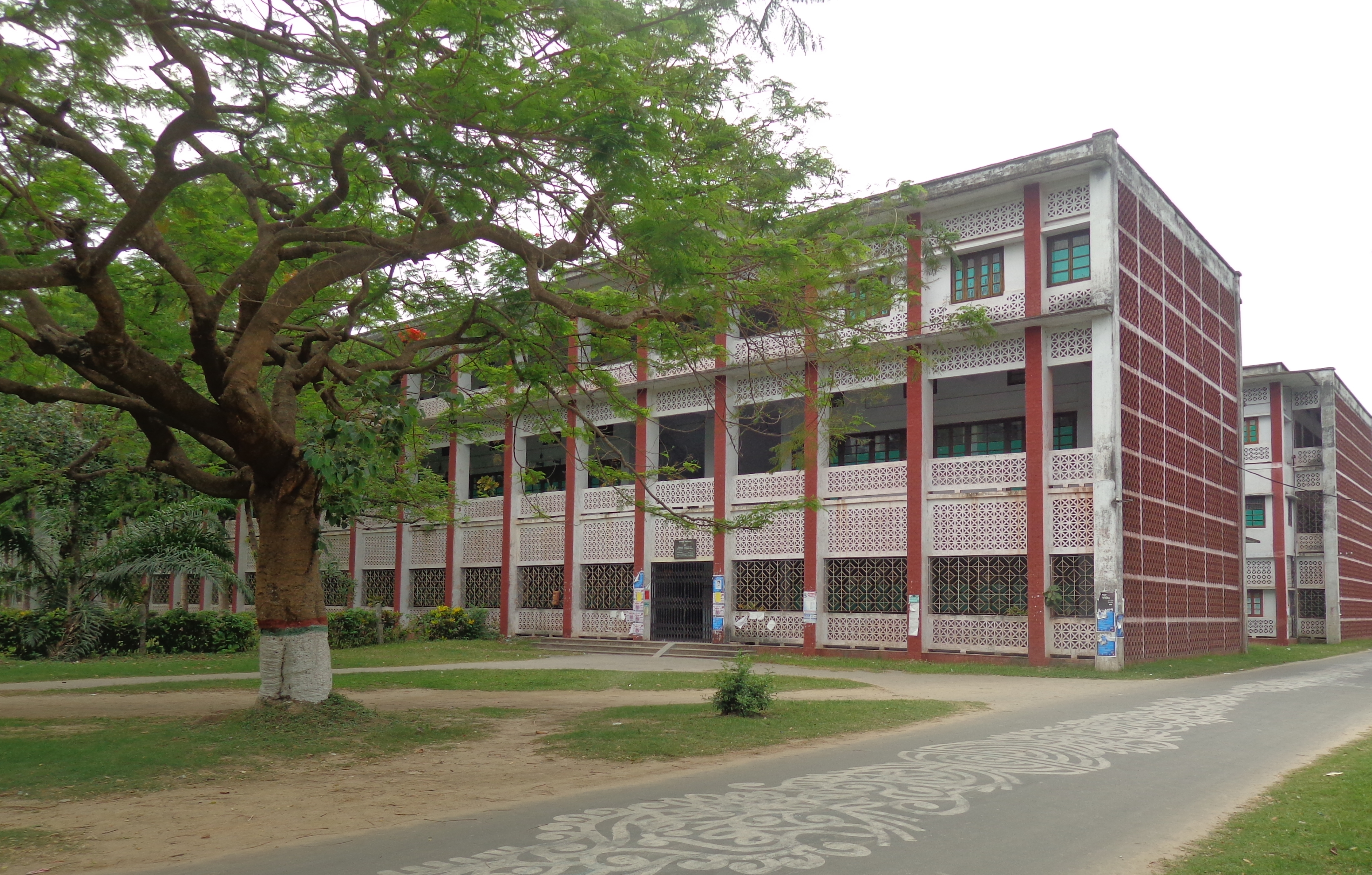
English: First Science Building, University of Rajshahi বাংলা: প্রথম বিজ্ঞান ভবন, রাজশাহী বিশ্ববিদ্যালয় |
||
| Date | |||
| Source | Own work | ||
| Author | Masum-al-hasan | ||
| Permission (Reusing this file) |
|
||
| Other versions |
|

| Camera location | | View this and other nearby images on: OpenStreetMap |
|---|
Licensing
I, the copyright holder of this work, hereby publish it under the following license:
This file is licensed under the Creative Commons Attribution-Share Alike 4.0 International license.
- You are free:
- to share – to copy, distribute and transmit the work
- to remix – to adapt the work
- Under the following conditions:
- attribution – You must give appropriate credit, provide a link to the license, and indicate if changes were made. You may do so in any reasonable manner, but not in any way that suggests the licensor endorses you or your use.
- share alike – If you remix, transform, or build upon the material, you must distribute your contributions under the same or compatible license as the original.
Assessment
This image was selected as picture of the day on Bengali Wikipedia.
|

|
This image has been assessed under the valued image criteria and is considered the most valued image on Commons within the scope: First Science Building, University of Rajshahi (East-North exposure). You can see its nomination here. |
File history
Click on a date/time to view the file as it appeared at that time.
| Date/Time | Thumbnail | Dimensions | User | Comment | |
|---|---|---|---|---|---|
| current | 01:55, 20 April 2015 | | 4,471 × 2,851 (7.17 MB) | RockyMasum | User created page with UploadWizard |
File usage
The following pages on the English Wikipedia use this file (pages on other projects are not listed):
Global file usage
The following other wikis use this file:
- Usage on bn.wikipedia.org