
File:Finland Regions Map.svg

Size of this PNG preview of this SVG file: 344 × 599 pixels. Other resolutions: 138 × 240 pixels | 276 × 480 pixels | 441 × 768 pixels | 588 × 1,024 pixels | 1,176 × 2,048 pixels | 1,850 × 3,220 pixels.
Original file (SVG file, nominally 1,850 × 3,220 pixels, file size: 112 KB)
| This is a file from the Wikimedia Commons. Information from its description page there is shown below. Commons is a freely licensed media file repository. You can help. |
Summary
| Description |
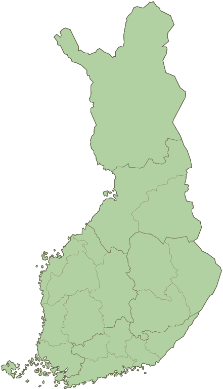
English: Blank map of Finland divided into its 19 regions. Suomi: Suomen maakunnat |
| Date | |
| Source | File:Suomen maakunnat.svg |
| Author | Fallschirmjäger |
| Other versions |
 |
Licensing
| I, the copyright holder of this work, release this work into the public domain. This applies worldwide. In some countries this may not be legally possible; if so: I grant anyone the right to use this work for any purpose, without any conditions, unless such conditions are required by law. |
File history
Click on a date/time to view the file as it appeared at that time.
| Date/Time | Thumbnail | Dimensions | User | Comment | |
|---|---|---|---|---|---|
| current | 21:57, 7 January 2011 | | 1,850 × 3,220 (112 KB) | Liandrei | Corrected borders of Uusimaa |
| 19:55, 7 January 2011 |  | 1,850 × 3,220 (112 KB) | Liandrei | == {{int:filedesc}} == {{Information |Description={{en|1=Blank map of Finland divided into its regions.}}{{fi|1=Suomen maakunnat}} |Source=File:Suomen maakunnat.svg |Author=Fallschirmjäger |Date=07/01/2011 |Permission=see b |
File usage
No pages on the English Wikipedia use this file (pages on other projects are not listed).
Global file usage
The following other wikis use this file:
- Usage on fa.wikipedia.org
- Usage on gl.wikipedia.org
- Usage on he.wikipedia.org
- Usage on ja.wikipedia.org
- Usage on ku.wikipedia.org
- Usage on mk.wikipedia.org
- Usage on mzn.wikipedia.org
- Usage on ro.wikipedia.org
- Usage on sco.wikipedia.org
- Usage on th.wikipedia.org
- Usage on tr.wikipedia.org