
File:Fields at Legionville.jpg

Size of this preview: 800 × 600 pixels. Other resolutions: 320 × 240 pixels | 640 × 480 pixels | 1,024 × 768 pixels | 1,280 × 960 pixels | 2,560 × 1,920 pixels | 2,816 × 2,112 pixels.
Original file (2,816 × 2,112 pixels, file size: 2.58 MB, MIME type: image/jpeg)
| This is a file from the Wikimedia Commons. Information from its description page there is shown below. Commons is a freely licensed media file repository. You can help. |
|
This is an image of a place or building that is listed on the National Register of Historic Places in the United States of America. Its reference number is 75001617. |
| Camera location | | View this and other nearby images on: OpenStreetMap |
|---|
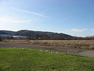
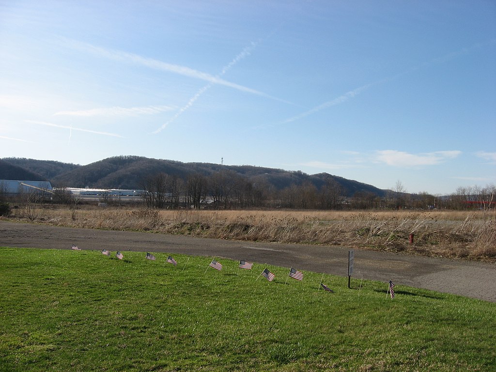
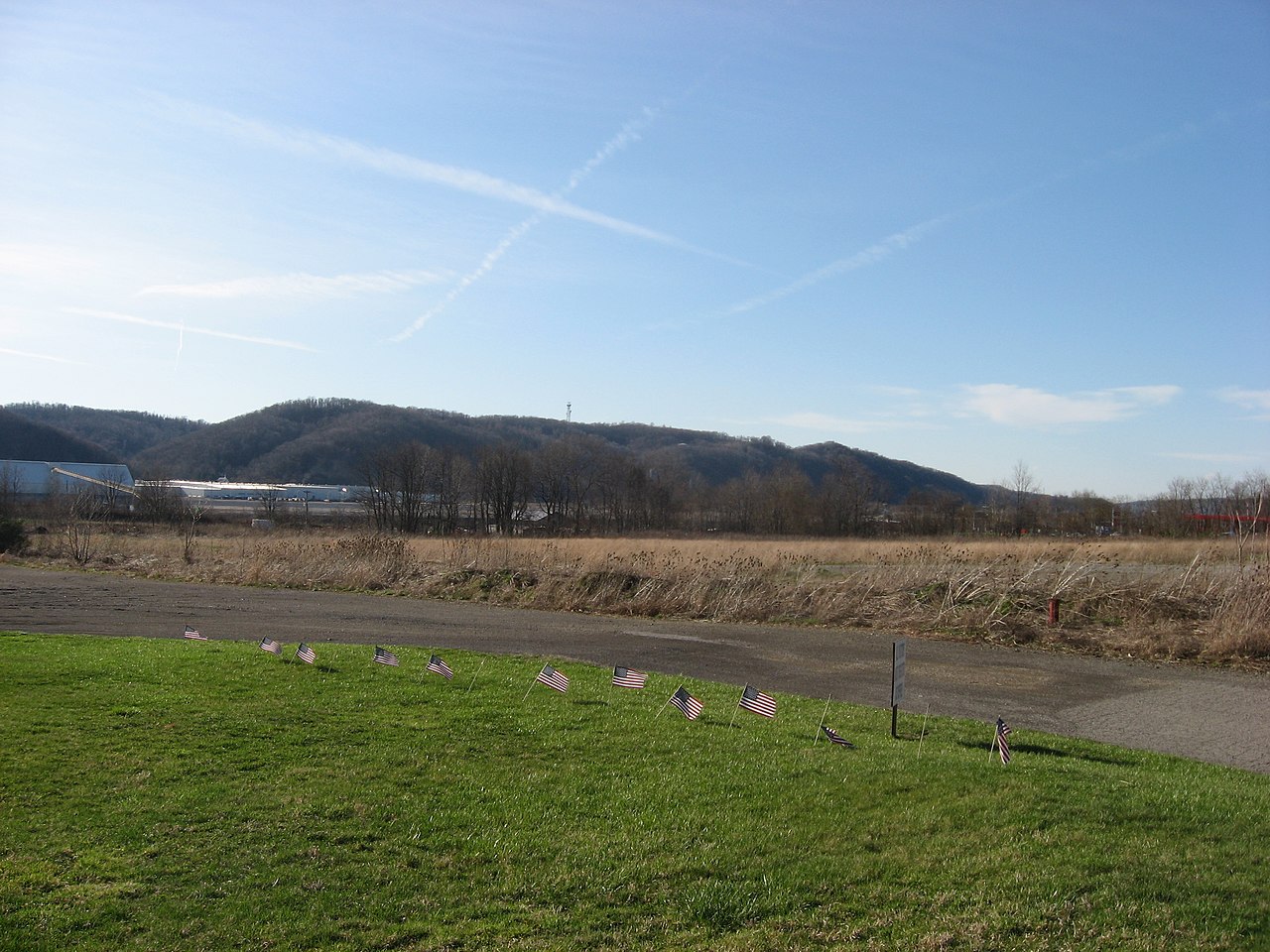
| Description | Looking northwest across fields at the southern end of the site of Legionville, the first active training site for the United States Army under Anthony Wayne. Located along Duss Avenue in Harmony Township, Beaver County, Pennsylvania, United States, the site is listed on the National Register of Historic Places. | ||
| Date | Taken on 1 April 2009 | ||
| Source | Own work | ||
| Author | Nyttend | ||
| Permission (Reusing this file) |
|
||
| Other versions |
 Monument at the site Monument at the site |
File history
Click on a date/time to view the file as it appeared at that time.
| Date/Time | Thumbnail | Dimensions | User | Comment | |
|---|---|---|---|---|---|
| current | 20:27, 2 April 2009 | | 2,816 × 2,112 (2.58 MB) | Nyttend | {{Location|40|37|22.116|N|80|13|35.58|W}} {{Information |Description=Looking northwest across fields at the southern end of the site of {{w|Legionville}}, the first active training site for the {{w|United States Army}} under {{w|Anthony Wayne}}. Located |
File usage
The following pages on the English Wikipedia use this file (pages on other projects are not listed):
- Harmony Township, Beaver County, Pennsylvania
- Legionville
- List of European archaeological sites on the National Register of Historic Places in Pennsylvania
- List of Pennsylvania state historical markers in Beaver County
- National Register of Historic Places listings in Beaver County, Pennsylvania
- User:Nyttend/Pennsylvania RA
- User talk:Dthomsen8/List PA Test
- User talk:Mvincec
Global file usage
The following other wikis use this file:
- Usage on ca.wikipedia.org
- Usage on ceb.wikipedia.org
- Usage on cy.wikipedia.org
- Usage on es.wikipedia.org
- Usage on eu.wikipedia.org
- Usage on fa.wikipedia.org
- Usage on fr.wikipedia.org
- Usage on it.wikipedia.org
- Usage on pt.wikipedia.org
- Usage on sh.wikipedia.org
- Usage on sr.wikipedia.org
- Usage on tl.wikipedia.org
- Usage on tr.wikipedia.org
- Usage on uk.wikipedia.org
- Usage on ur.wikipedia.org
- Usage on uz.wikipedia.org
- Usage on vi.wikipedia.org
- Usage on www.wikidata.org
- Usage on zh-min-nan.wikipedia.org