
File:Fairfax.svg

Size of this PNG preview of this SVG file: 800 × 595 pixels. Other resolutions: 320 × 238 pixels | 640 × 476 pixels | 1,024 × 761 pixels | 1,280 × 951 pixels | 2,560 × 1,903 pixels | 896 × 666 pixels.
Original file (SVG file, nominally 896 × 666 pixels, file size: 659 KB)
| This is a file from the Wikimedia Commons. Information from its description page there is shown below. Commons is a freely licensed media file repository. You can help. |
Summary
| Description |
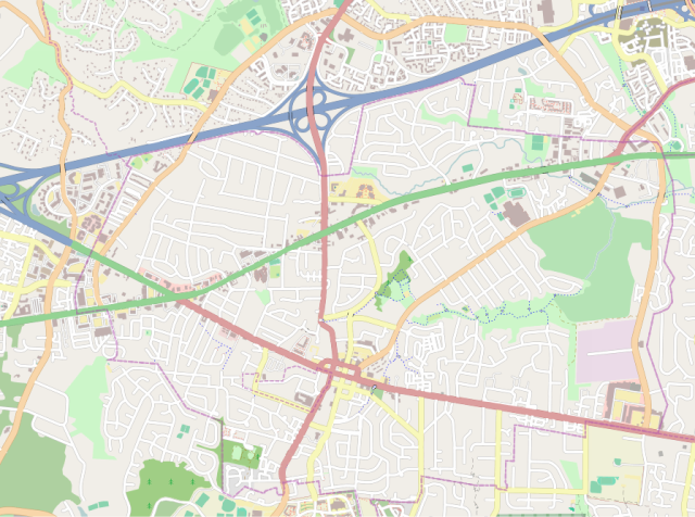
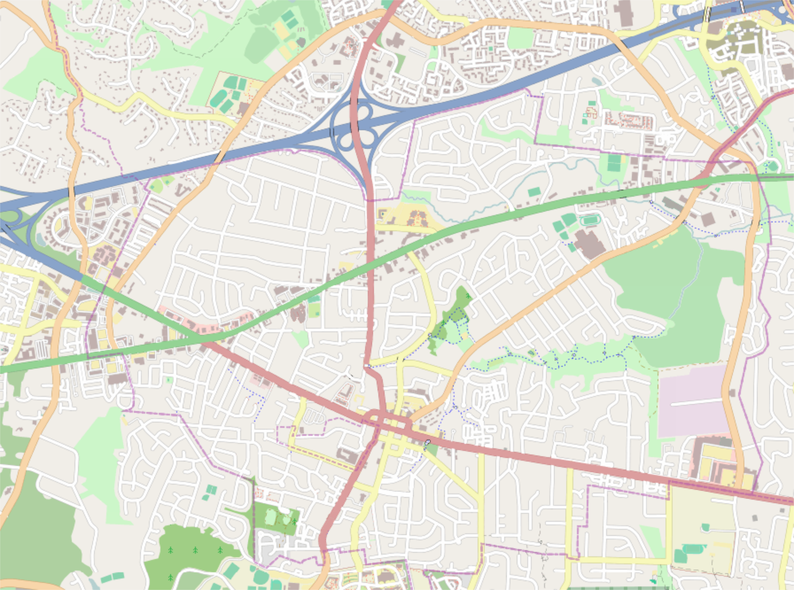
English: Fairfax, Virginia map where right=-77.26733, top=38.87847, left=-77.34492, and bottom=38.83409. |
| Date | |
| Source | http://tiles.wmflabs.org/osm/slippymap2.html |
| Author | Open StreetMap Foundation |
| SVG development |

Licensing
| This work contains information from OpenStreetMap, which is made available under the Open Database License (ODbL).
The ODbL does not require any particular license for maps produced from ODbL data. Prior to 1 August 2020, map tiles produced by the OpenStreetMap Foundation were licensed under the CC-BY-SA-2.0 license. Maps produced by other people may be subject to other licences. |
File history
Click on a date/time to view the file as it appeared at that time.
| Date/Time | Thumbnail | Dimensions | User | Comment | |
|---|---|---|---|---|---|
| current | 16:24, 9 April 2017 | | 896 × 666 (659 KB) | Id4abel | Found reference point that allowing cropping out meter overlaid on image. |
| 14:46, 9 April 2017 |  | 917 × 669 (618 KB) | Id4abel | User created page with UploadWizard |
File usage
The following pages on the English Wikipedia use this file (pages on other projects are not listed):
- 29 Diner
- City of Fairfax Historic District
- Fairfax, Virginia
- Fairfax Public School (Old Fairfax Elementary School Annex)
- Ford Building (Fairfax, Virginia)
- Historic Blenheim
- Historic Fairfax County Courthouse
- Marsh House (Fairfax, Virginia)
- Old Fairfax County Jail
- Old Town Hall (Fairfax, Virginia)
- Ratcliffe–Logan–Allison House
- Module:Location map/data/Fairfax
- Module:Location map/data/Fairfax/doc
Global file usage
The following other wikis use this file:
- Usage on simple.wikipedia.org
- Usage on si.wikipedia.org