
File:Exposition Lyon Confluence (Cité de larchitecture et du patrimoine) (6768146251).jpg
Original file (1,365 × 1,024 pixels, file size: 984 KB, MIME type: image/jpeg)
| This is a file from the Wikimedia Commons. Information from its description page there is shown below. Commons is a freely licensed media file repository. You can help. |
_(6768146251).jpg)
Summary
| Description |
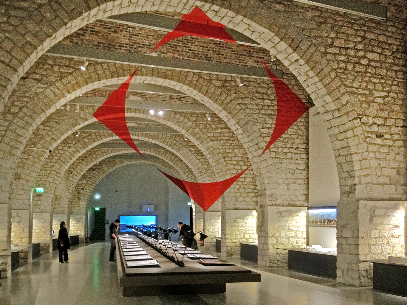
L'espace muséographique de l'exposition Lyon Confluence, laboratoire de renaissance Au plafond, Carré rouge évidé par le disque de Felice Varini, 2011 L'opération de Lyon Confluence est l'un des grands chantiers urbains menés en France. L'exposition présente très clairement le programme architectural complet à l'aide de photographies, de maquettes, de dessins, d'images numériques en 3D, de films. On en sort impressionné par la qualité des projets et des réalisations, comme par la cohérence de cet ambitieux programme. Plusieurs architectes ou agences de réputation internationale y contribuent. Cité de l'architecture et du patrimoine www.citechaillot.fr/ |
| Date | |
| Source | Exposition Lyon Confluence (Cité de l'architecture et du patrimoine) |
| Author | Jean-Pierre Dalbéra from Paris, France |
| Camera location | | View this and other nearby images on: OpenStreetMap |
|---|
_(6768146251).jpg¶ms=048.863082_N_0002.289494_E_globe:Earth_type:camera_source:Flickr_&language=en)
Licensing
- You are free:
- to share – to copy, distribute and transmit the work
- to remix – to adapt the work
- Under the following conditions:
- attribution – You must give appropriate credit, provide a link to the license, and indicate if changes were made. You may do so in any reasonable manner, but not in any way that suggests the licensor endorses you or your use.
| This image, originally posted to Flickr, was reviewed on 15 February 2013 by the administrator or reviewer File Upload Bot (Magnus Manske), who confirmed that it was available on Flickr under the stated license on that date. |
File history
Click on a date/time to view the file as it appeared at that time.
| Date/Time | Thumbnail | Dimensions | User | Comment | |
|---|---|---|---|---|---|
| current | 16:32, 15 February 2013 | | 1,365 × 1,024 (984 KB) | File Upload Bot (Magnus Manske) | Transferred from Flickr by User:russavia |
File usage
Global file usage
The following other wikis use this file:
- Usage on fr.wikipedia.org
- Usage on ru.wikipedia.org
_(6768146251).jpg)