
File:East Hendred St Augustine's of Canterbury church.jpg
No higher resolution available.
East_Hendred_St_Augustine's_of_Canterbury_church.jpg (640 × 480 pixels, file size: 259 KB, MIME type: image/jpeg)
| This is a file from the Wikimedia Commons. Information from its description page there is shown below. Commons is a freely licensed media file repository. You can help. |
| Description |
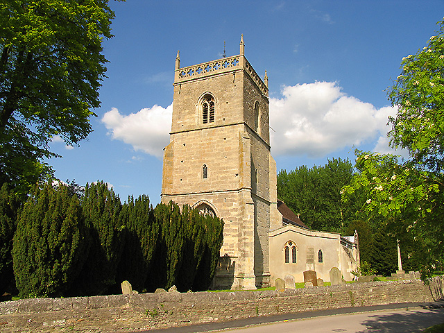
English: Church of England parish church of St Augustine of Canterbury, East Hendred, Oxfordshire (formerly Berkshire): view from the from south-west, showing the 15th century west tower |
||
| Date | |||
| Source | https://www.geograph.org.uk/photo/10237 | ||
| Author | Pam Brophy | ||
| Permission (Reusing this file) |
This file is licensed under the Creative Commons Attribution-Share Alike 2.0 Generic license. Attribution: Pam Brophy
|

| Camera location | | View this and other nearby images on: OpenStreetMap |
|---|
_region:GB-ENG_heading:45.00&language=en)
| Object location | | View this and other nearby images on: OpenStreetMap |
|---|
_region:GB-ENG_heading:45.00&language=en)
File history
Click on a date/time to view the file as it appeared at that time.
| Date/Time | Thumbnail | Dimensions | User | Comment | |
|---|---|---|---|---|---|
| current | 17:34, 6 May 2008 | | 640 × 480 (259 KB) | Polly | {{Information |Description=St Augustine's of Canterbury: East Hendred The church is situated in the eastern half of the grid square, near the eastern edge. This view was taken from south west of the church. |Source=http://www.geograph.org.uk/photo/10237 | |
File usage
The following pages on the English Wikipedia use this file (pages on other projects are not listed):
Global file usage
The following other wikis use this file:
- Usage on ceb.wikipedia.org
- Usage on de.wikipedia.org
- Usage on es.wikipedia.org
- Usage on fa.wikipedia.org
- Usage on fr.wikipedia.org
- Usage on la.wikipedia.org
- Usage on lld.wikipedia.org
- Usage on nl.wikipedia.org
- Usage on pl.wikipedia.org
- Usage on www.wikidata.org
- Usage on zh-min-nan.wikipedia.org