
File:East China Sea location map OSM.svg

Size of this PNG preview of this SVG file: 680 × 600 pixels. Other resolutions: 272 × 240 pixels | 544 × 480 pixels | 870 × 768 pixels | 1,161 × 1,024 pixels | 2,321 × 2,048 pixels | 1,360 × 1,200 pixels.
Original file (SVG file, nominally 1,360 × 1,200 pixels, file size: 153 KB)
| This is a file from the Wikimedia Commons. Information from its description page there is shown below. Commons is a freely licensed media file repository. You can help. |
Summary
| Description |
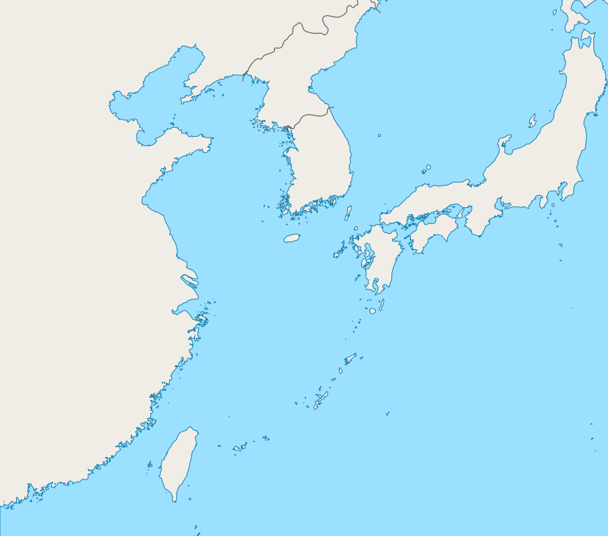
English: Mercator projection map of the East China Sea.
Geographic limits of the map:
|
| Date | |
| Source | Coastline and border are based on OpenStreetMap. |
| Author | OpenStreetMap contributors, and Pekachu |
Licensing
| This work contains information from OpenStreetMap, which is made available under the Open Database License (ODbL).
The ODbL does not require any particular license for maps produced from ODbL data. Prior to 1 August 2020, map tiles produced by the OpenStreetMap Foundation were licensed under the CC-BY-SA-2.0 license. Maps produced by other people may be subject to other licences. |
File history
Click on a date/time to view the file as it appeared at that time.
| Date/Time | Thumbnail | Dimensions | User | Comment | |
|---|---|---|---|---|---|
| current | 03:13, 5 October 2019 | | 1,360 × 1,200 (153 KB) | Geographyinitiative | The maritime boundary lines were straight lines in the ocean- disputed & inexact at best. Also, the ROC-PRC maritime boundary was not included. The best solution for now is not having any lines. A map with exact maritime boundaries would be useful. |
| 14:25, 10 August 2015 |  | 1,360 × 1,200 (158 KB) | Pekachu | User created page with UploadWizard |
File usage
No pages on the English Wikipedia use this file (pages on other projects are not listed).
Global file usage
The following other wikis use this file:
- Usage on ko.wikipedia.org