
File:EU and Turkey Locator Map.png
Size of this preview: 720 × 600 pixels. Other resolutions: 288 × 240 pixels | 576 × 480 pixels | 922 × 768 pixels | 1,200 × 1,000 pixels.
Original file (1,200 × 1,000 pixels, file size: 39 KB, MIME type: image/png)
| This is a file from the Wikimedia Commons. Information from its description page there is shown below. Commons is a freely licensed media file repository. You can help. |

|
This locator map image could be re-created using vector graphics as an SVG file. This has several advantages; see Commons:Media for cleanup for more information. If an SVG form of this image is available, please upload it and afterwards replace this template with
{{vector version available|new image name}}.
It is recommended to name the SVG file “EU and Turkey Locator Map.svg”—then the template Vector version available (or Vva) does not need the new image name parameter. |
Summary
| Description |
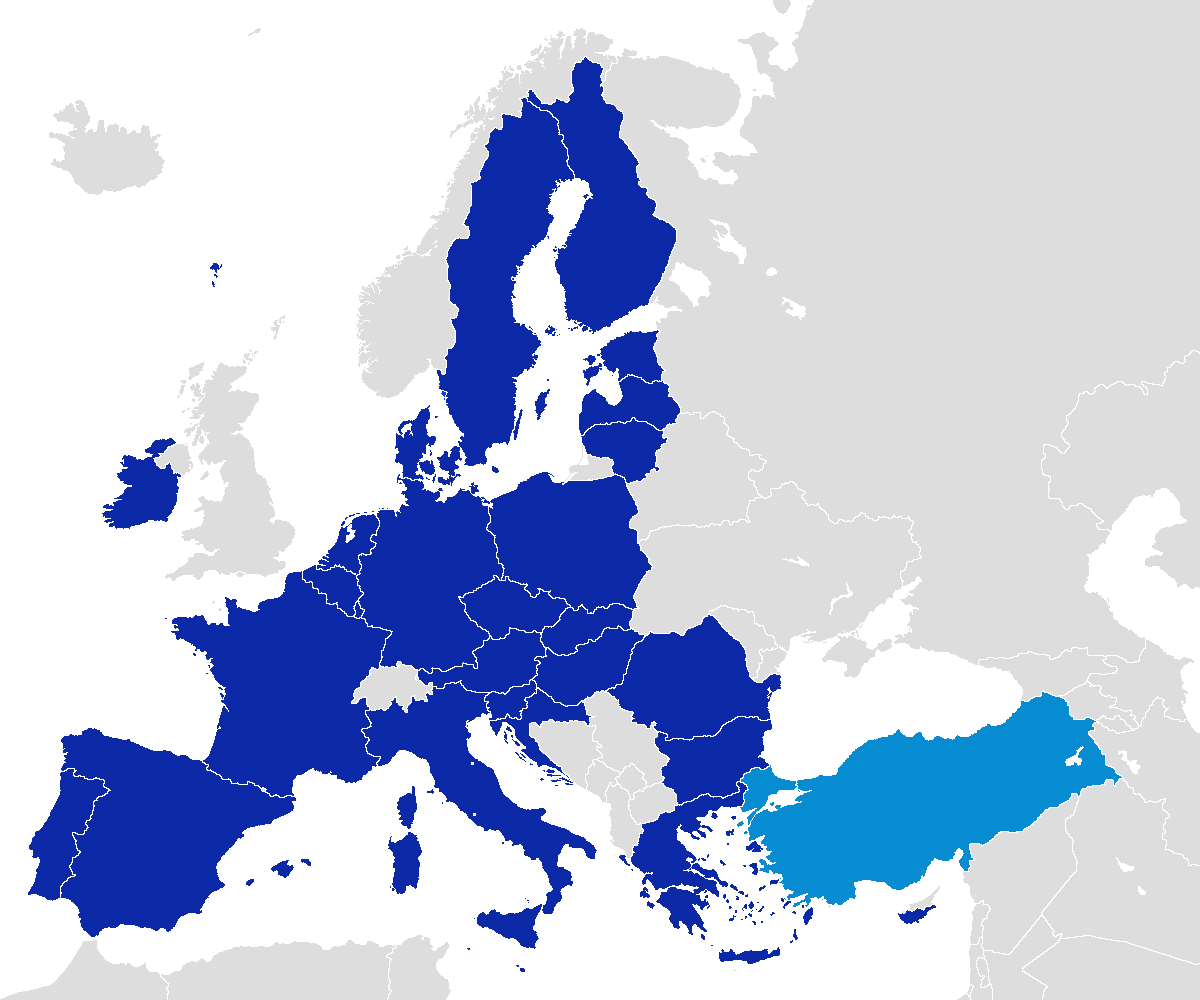
English: European Union members and official candidate and negotiator country Turkey's location map. Türkçe: Avrupa Birliği üyeleri ve resmi aday ve müzakereci ülke Türkiyenin lokasyon haritası. Français : Européens membres de l'Union et une carte de localisation officielle de la Turquie pays candidat. Deutsch: Mitglieder der Europäischen Union und offizieller Beitrittskandidat Türkei Lageplan. Español: Miembros de la Unión Europea y el mapa oficial de país candidato Turquía ubicación. Português: Membros da União Europeia e Turquia mapa país candidato oficial local. Italiano: Europei membri dell'Unione europea e mappa sede ufficiale Turchia, paese candidato. Nederlands: Europese Unie en de officiële kandidaat-lidstaat Turkije plattegrond. Dansk: EU-medlemmer og officielt kandidatland Tyrkiets placering kort. Suomi: Euroopan unionin jäsenet ja virallisten ehdokasmaa Turkki sijainnin kartalla. Svenska: EU-medlemmar och officiellt kandidatland Turkiet Karta över. Polski: Członkami Unii Europejskiej i urzędowych kraju Turcja kandydującego mapa lokalizacji. Čeština: Členské státy Evropské unie a oficiální kandidátské země Turecko mapu umístění. Slovenčina: Členské štáty Európskej únie a oficiálne kandidátske krajiny Turecko mapu umiestnenia. Slovenščina: Evropske unije in člani uradnega država kandidatka Turčija lokacijo zemljevida Gaeilge: Baill Aontais Eorpaigh agus léarscáil de shuíomh an Tuirc tíre oifigiúil iarrthóra. Română: Membre ale Uniunii Europene și harta oficiala tara Turcia candidat locație. Eesti: Euroopa Liidu liikmed ja ametlik kandidaatriik Türgi asukoha kaart. Latviešu: Eiropas Savienības dalībvalstīm un oficiālā kandidātvalstī Turcijas firmas. Lietuvių: Europos Sąjungos valstybių narių ir oficialia šalimi kandidate, Turkija vieta žemėlapis. Magyar: Az Európai Unió tagjai és a hivatalos tagjelölt Törökország helyét térképen. Malti: Membri tal-Unjoni Ewropea u mappa lokazzjoni uffiċjali pajjiż kandidat tat-Turkija. Български: Членове на Европейския съюз и карта местоположение официална страна кандидатка Турция. Ελληνικά: Μέλη της Ευρωπαϊκής Ένωσης και χάρτη της περιοχής επίσημη Τουρκία υποψήφιας χώρας. Українська: Карта, на якій зображено країни-члени Європейського Союзу та офіційного кандидата: Туреччину. |
| Date | |
| Source | Own work |
| Author | Maurice07 |
Licensing
I, the copyright holder of this work, hereby publish it under the following license:
This file is licensed under the Creative Commons Attribution-Share Alike 3.0 Unported license.
- You are free:
- to share – to copy, distribute and transmit the work
- to remix – to adapt the work
- Under the following conditions:
- attribution – You must give appropriate credit, provide a link to the license, and indicate if changes were made. You may do so in any reasonable manner, but not in any way that suggests the licensor endorses you or your use.
- share alike – If you remix, transform, or build upon the material, you must distribute your contributions under the same or compatible license as the original.
File history
Click on a date/time to view the file as it appeared at that time.
| Date/Time | Thumbnail | Dimensions | User | Comment | |
|---|---|---|---|---|---|
| current | 12:10, 1 February 2020 | | 1,200 × 1,000 (39 KB) | SamuelTB | Brexit changes. Glitches aren't letting the image change. |
| 12:09, 1 February 2020 |  | 1,200 × 1,000 (75 KB) | SamuelTB | Reverted to version as of 10:04, 30 June 2013 (UTC) | |
| 12:07, 1 February 2020 |  | 1,200 × 1,000 (39 KB) | SamuelTB | Reverted to version as of 11:57, 1 February 2020 (UTC) | |
| 12:07, 1 February 2020 |  | 1,200 × 1,000 (75 KB) | SamuelTB | Reverted to version as of 10:04, 30 June 2013 (UTC) | |
| 11:57, 1 February 2020 |  | 1,200 × 1,000 (39 KB) | SamuelTB | {{subst:update-note|1=File:EU and Turkey Locator Map.png|2=Brexit}} ~~~~ | |
| 10:04, 30 June 2013 |  | 1,200 × 1,000 (75 KB) | U5K0 | croatia | |
| 12:36, 20 November 2012 |  | 1,200 × 1,000 (66 KB) | Maurice07 | User created page with UploadWizard |
File usage
The following pages on the English Wikipedia use this file (pages on other projects are not listed):
Global file usage
The following other wikis use this file:
- Usage on ar.wikipedia.org
- Usage on az.wikipedia.org
- Usage on ba.wikipedia.org
- Usage on be-tarask.wikipedia.org
- Usage on bn.wikipedia.org
- Usage on de.wikipedia.org
- Usage on de.wiktionary.org
- Usage on es.wikipedia.org
- Usage on fa.wikipedia.org
- Usage on fi.wikipedia.org
- Usage on fr.wikipedia.org
- Usage on hr.wikipedia.org
- Usage on hu.wikipedia.org
- Usage on hy.wikipedia.org
- Usage on ja.wikipedia.org
- Usage on kk.wikipedia.org
- Usage on lt.wikipedia.org
- Usage on lv.wikipedia.org
- Usage on mk.wikipedia.org
- Usage on nl.wikipedia.org
- Usage on pt.wikipedia.org
- Usage on sk.wikipedia.org
- Usage on sv.wikipedia.org
- Usage on te.wikipedia.org
- Usage on tr.wikipedia.org
- Usage on uk.wikipedia.org
- Usage on vi.wikipedia.org
- Usage on www.wikidata.org