
File:Donington Park 1937.svg

Size of this PNG preview of this SVG file: 600 × 600 pixels. Other resolutions: 240 × 240 pixels | 480 × 480 pixels | 768 × 768 pixels | 1,024 × 1,024 pixels | 2,048 × 2,048 pixels | 650 × 650 pixels.
Original file (SVG file, nominally 650 × 650 pixels, file size: 22 KB)
| This is a file from the Wikimedia Commons. Information from its description page there is shown below. Commons is a freely licensed media file repository. You can help. |
Summary
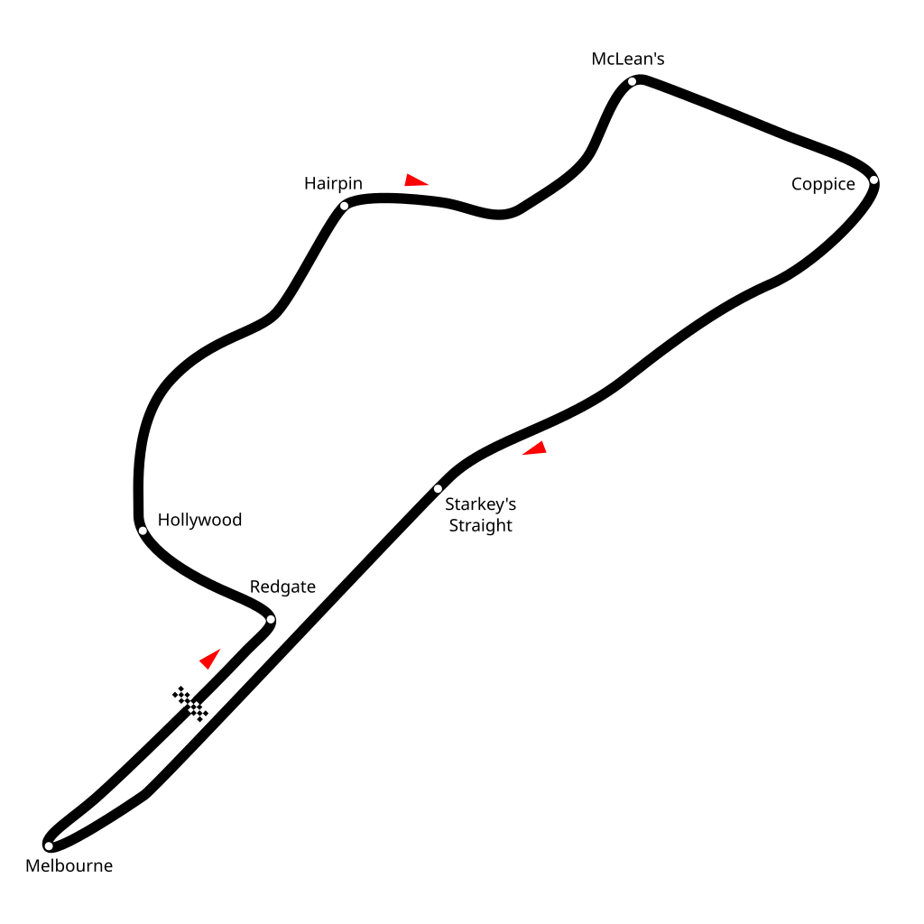
| Description | Diagram of Donington Park Circuit layout in 1937. |
| Date | |
| Source | Own work |
| Author | Readro |
| Permission (Reusing this file) |
This file is licensed under the Creative Commons Attribution-Share Alike 2.5 Generic license.
|
| Other versions |
|

| Camera location | | View this and other nearby images on: OpenStreetMap |
|---|
File history
Click on a date/time to view the file as it appeared at that time.
| Date/Time | Thumbnail | Dimensions | User | Comment | |
|---|---|---|---|---|---|
| current | 05:23, 24 August 2011 | | 650 × 650 (22 KB) | Aconcagua | Reverted to version as of 05:39, 15 July 2011. One last try if it works by now |
| 08:09, 17 July 2011 | 812 × 289 (23 KB) | Aconcagua | Reverted to version as of 21:59, 25 July 2007. OK, forget it, the servers don't want it obviousely | ||
| 08:08, 17 July 2011 |  | 650 × 650 (22 KB) | Aconcagua | Reverted to version as of 05:39, 15 July 2011. Should work by now | |
| 16:04, 15 July 2011 | 812 × 289 (23 KB) | Cs-wolves | Image screwed up, majorly. | ||
| 15:16, 15 July 2011 |  | 650 × 650 (23 KB) | Aconcagua | Reverted to version as of 05:31, 15 July 2011 | |
| 05:39, 15 July 2011 |  | 650 × 650 (22 KB) | Aconcagua | sorry | |
| 05:31, 15 July 2011 |  | 650 × 650 (23 KB) | Aconcagua | rotated acc. to the other Donington circuit maps | |
| 21:59, 25 July 2007 | 812 × 289 (23 KB) | Readro | == Summary == {{Information |Description=Diagram of Donington Park Circuit layout in 1937. |Source=Own Work |Date=25th July 2007 |Author=Readro |Permission={{cc-by-sa-2.5}} |other_versions=none }} Category:Racing circuits maps |
File usage
The following pages on the English Wikipedia use this file (pages on other projects are not listed):
Global file usage
The following other wikis use this file:
- Usage on de.wikipedia.org
- Usage on es.wikipedia.org
- Usage on fr.wikipedia.org
- Usage on it.wikipedia.org
- Usage on sl.wikipedia.org
- Usage on sv.wikipedia.org
- Usage on zh.wikipedia.org