
File:Diamond Head Hike - Wet & Dry Seasons.jpg
Size of this preview: 800 × 269 pixels. Other resolutions: 320 × 108 pixels | 640 × 215 pixels | 1,024 × 344 pixels | 1,280 × 430 pixels | 2,560 × 861 pixels | 7,424 × 2,496 pixels.
Original file (7,424 × 2,496 pixels, file size: 7.14 MB, MIME type: image/jpeg)
| This is a file from the Wikimedia Commons. Information from its description page there is shown below. Commons is a freely licensed media file repository. You can help. |
Summary
| Description |
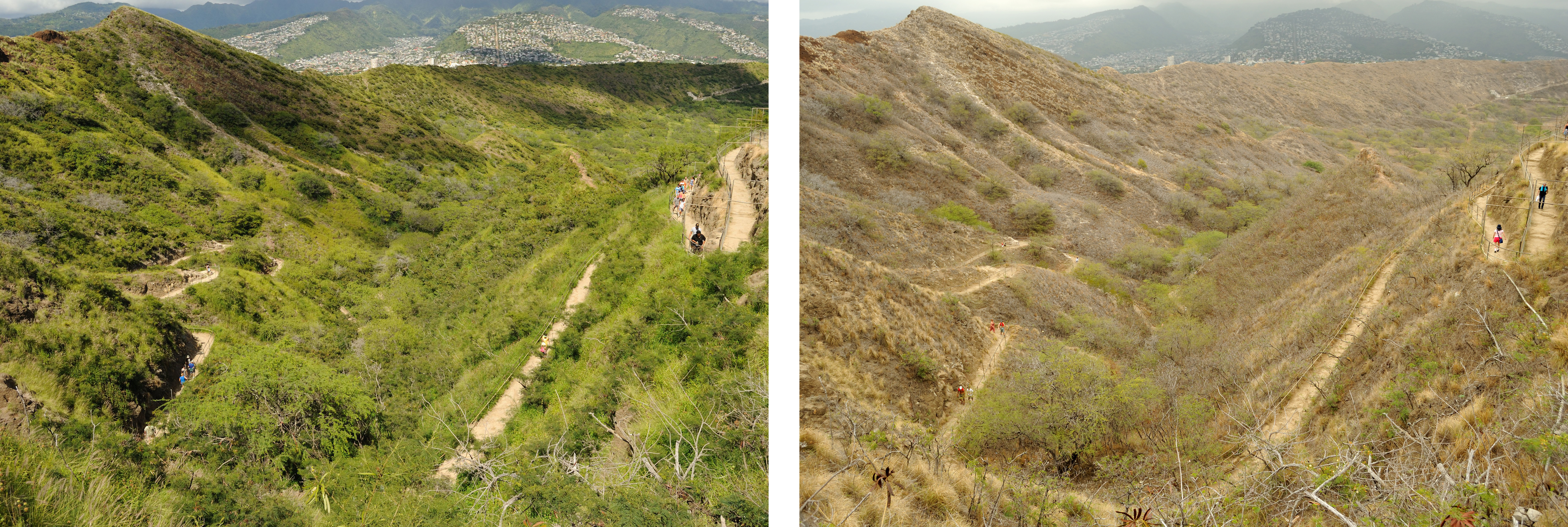
Diamond Head Trail — a comparison showing how the landscape of Diamond Head changes during the wet and dry seasons.
The originals are here: |
| Date | |
| Source |
Diamond Head Hike - Wet & Dry Seasons
|
| Author | Daniel Ramirez from Honolulu, USA |
| Camera location | | View this and other nearby images on: OpenStreetMap |
|---|
Licensing
This file is licensed under the Creative Commons Attribution 2.0 Generic license.
- You are free:
- to share – to copy, distribute and transmit the work
- to remix – to adapt the work
- Under the following conditions:
- attribution – You must give appropriate credit, provide a link to the license, and indicate if changes were made. You may do so in any reasonable manner, but not in any way that suggests the licensor endorses you or your use.
| This image, originally posted to Flickr, was reviewed on 28 March 2013 by the administrator or reviewer File Upload Bot (Magnus Manske), who confirmed that it was available on Flickr under the stated license on that date. |
File history
Click on a date/time to view the file as it appeared at that time.
| Date/Time | Thumbnail | Dimensions | User | Comment | |
|---|---|---|---|---|---|
| current | 15:01, 28 March 2013 | 7,424 × 2,496 (7.14 MB) | File Upload Bot (Magnus Manske) | Transferred from Flickr by User:Jacopo Werther |
File usage
The following pages on the English Wikipedia use this file (pages on other projects are not listed):
Global file usage
The following other wikis use this file:
- Usage on da.wikipedia.org