
File:DepartementsFranceDensitePopulation.svg

Size of this PNG preview of this SVG file: 507 × 553 pixels. Other resolutions: 220 × 240 pixels | 440 × 480 pixels | 704 × 768 pixels | 939 × 1,024 pixels | 1,878 × 2,048 pixels.
Original file (SVG file, nominally 507 × 553 pixels, file size: 157 KB)
| This is a file from the Wikimedia Commons. Information from its description page there is shown below. Commons is a freely licensed media file repository. You can help. |
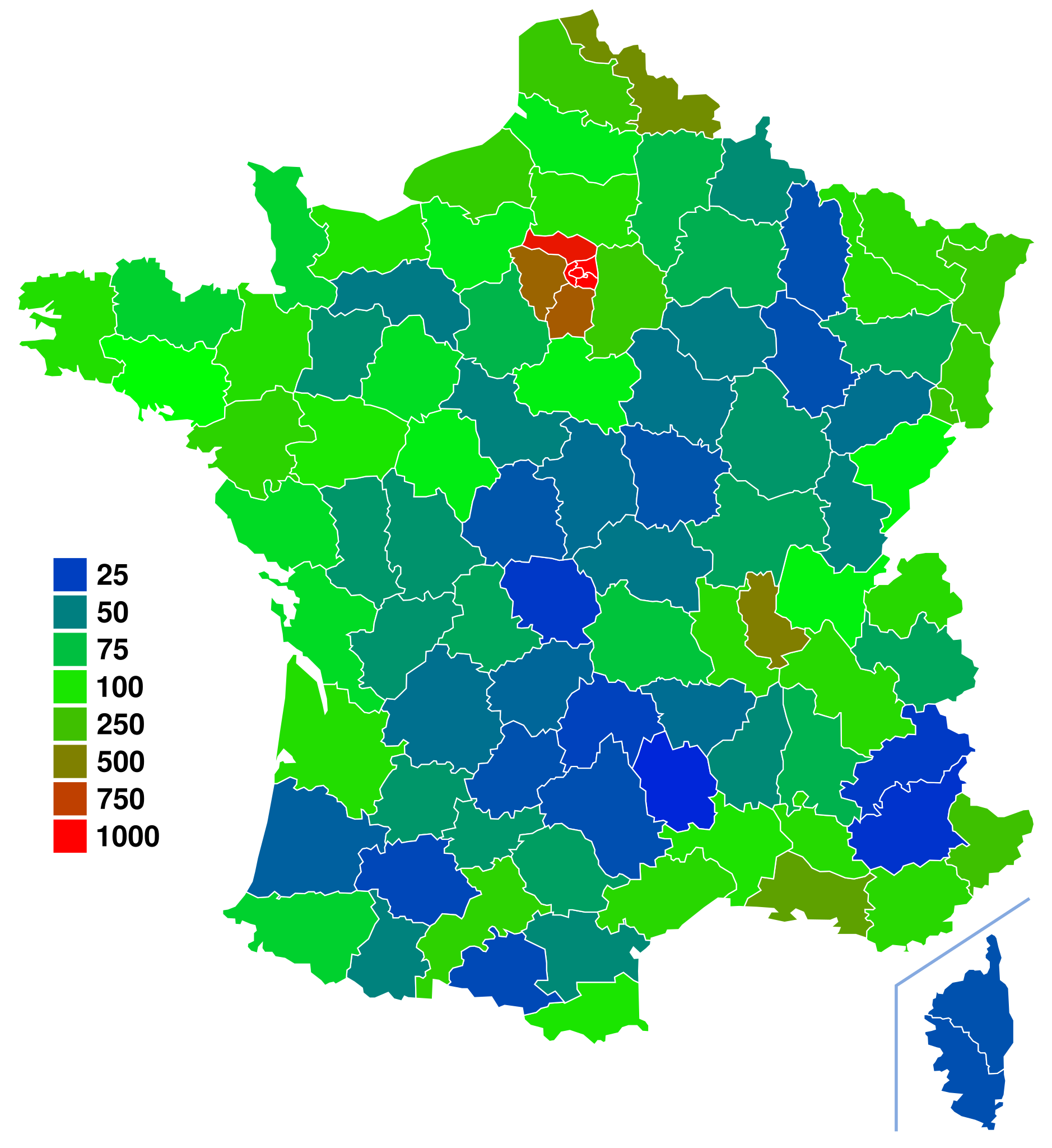
| Description | Départements de France. For more information on how to edit this file, see FRA-Map Documentation |
| Date | (UTC) |
| Source | |
| Author |
|
| This is a retouched picture, which means that it has been digitally altered from its original version. Modifications: Colored departement by population density using fr:Départements_français_classés_par_densité_de_population data. The original can be viewed here: Départements de France-simple.svg:
|
| I, the copyright holder of this work, release this work into the public domain. This applies worldwide. In some countries this may not be legally possible; if so: I grant anyone the right to use this work for any purpose, without any conditions, unless such conditions are required by law. |
Original upload log
This image is a derivative work of the following images:
- Image:Départements_de_France-simple.svg licensed with PD-self
- 2007-09-09T11:49:17Z Marmelad 507x553 (148302 Bytes) added a box zoomed in around Paris to show the small departements near the city, as in [[:Image:Carte France Département 95.png]] (currently hidden). For documentation on how to use this image, see [[:User:Marmelad/FRA-Map
- 2007-09-08T17:06:31Z Marmelad 507x553 (147117 Bytes) Cleaned up the svg code for use with auto-generating software.
- 2007-04-24T09:27:36Z Emmanuel.boutet 507x553 (184098 Bytes) {{Information |Description=Version simplifiée de [[:Image:Départements et régions de France.svg]] |Source=[[:Image:Départements et régions de France.svg]] by [[User:bayo|bayo]] |Date=2007-04-24 |Author=[[User:Emmanuel.bo
Uploaded with derivativeFX
File history
Click on a date/time to view the file as it appeared at that time.
| Date/Time | Thumbnail | Dimensions | User | Comment | |
|---|---|---|---|---|---|
| current | 15:51, 20 June 2008 | | 507 × 553 (157 KB) | Ske | {{Information |Description=Départements de France. For more information on how to edit this file, see FRA-Map Documentation |Source=*Image:Départements_de_France-simple.svg |Date=2008-06-20 15:50 (UTC) |A |
File usage
The following pages on the English Wikipedia use this file (pages on other projects are not listed):
Global file usage
The following other wikis use this file:
- Usage on ar.wikipedia.org
- Usage on bg.wikipedia.org
- Usage on de.wikipedia.org
- Usage on es.wikipedia.org
- Usage on fr.wikipedia.org
- Usage on nl.wikipedia.org
- Usage on ru.wikipedia.org
- Usage on simple.wikipedia.org
- Usage on sq.wikipedia.org
- Usage on uk.wikipedia.org
- Usage on zh.wikipedia.org