
File:Denmark Netherlands Locator.png
Size of this preview: 695 × 599 pixels. Other resolutions: 278 × 240 pixels | 557 × 480 pixels | 891 × 768 pixels | 1,188 × 1,024 pixels | 1,444 × 1,245 pixels.
Original file (1,444 × 1,245 pixels, file size: 85 KB, MIME type: image/png)
| This is a file from the Wikimedia Commons. Information from its description page there is shown below. Commons is a freely licensed media file repository. You can help. |
Summary
| Description |
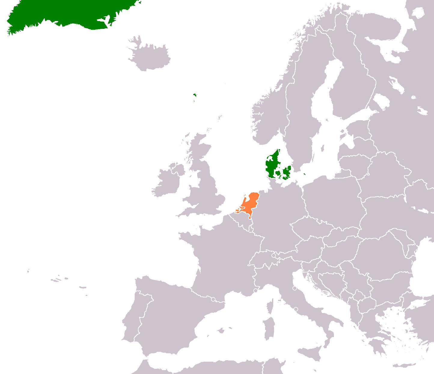
English: Licence free map I made out of a licence free blank map. |
| Date | 19 December 2008 (original upload date) |
| Source | Transferred from en.wikipedia to Commons. |
| Author | Plumoyr at English Wikipedia |
Licensing

|
Permission is granted to copy, distribute and/or modify this document under the terms of the GNU Free Documentation License, Version 1.2 or any later version published by the Free Software Foundation; with no Invariant Sections, no Front-Cover Texts, and no Back-Cover Texts. A copy of the license is included in the section entitled GNU Free Documentation License. |
| This file is licensed under the Creative Commons Attribution-Share Alike 3.0 Unported license. | ||
| ||
| This licensing tag was added to this file as part of the GFDL licensing update. |
Original upload log
The original description page was here. All following user names refer to en.wikipedia.
- 2012-01-21 02:51 Phoenix B 1of3 1444×1245× (87406 bytes) boundries
- 2012-01-21 01:51 Phoenix B 1of3 1303×1245× (75767 bytes) minor fixes
- 2012-01-21 01:41 Phoenix B 1of3 1303×1245× (75502 bytes) Greenland is an intricated part of denmark
- 2008-12-19 12:31 Plumoyr 1236×1245× (80119 bytes) Licence free map I made out of a licence free blank map.
File history
Click on a date/time to view the file as it appeared at that time.
| Date/Time | Thumbnail | Dimensions | User | Comment | |
|---|---|---|---|---|---|
| current | 23:01, 29 September 2016 | | 1,444 × 1,245 (85 KB) | OgreBot | (BOT): Reverting to most recent version before archival |
| 23:00, 29 September 2016 |  | 1,303 × 1,245 (74 KB) | OgreBot | (BOT): Uploading old version of file from en.wikipedia; originally uploaded on 2012-01-21 01:51:53 by Phoenix B 1of3 | |
| 23:00, 29 September 2016 |  | 1,303 × 1,245 (74 KB) | OgreBot | (BOT): Uploading old version of file from en.wikipedia; originally uploaded on 2012-01-21 01:41:54 by Phoenix B 1of3 | |
| 23:00, 29 September 2016 |  | 1,236 × 1,245 (78 KB) | OgreBot | (BOT): Uploading old version of file from en.wikipedia; originally uploaded on 2008-12-19 12:31:21 by Plumoyr | |
| 10:22, 28 September 2016 |  | 1,444 × 1,245 (85 KB) | XXN | == Summary == Licence free map I made out of a licence free blank map. == Licensing: == {{GFDL|migration=relicense}} Category:Bilateral maps of Denmark |
File usage
The following pages on the English Wikipedia use this file (pages on other projects are not listed):
Global file usage
The following other wikis use this file:
- Usage on he.wikipedia.org
- Usage on nl.wikipedia.org
- Usage on uk.wikipedia.org
- Usage on www.wikidata.org