
File:Copley Square map 1874.png

Size of this preview: 800 × 572 pixels. Other resolutions: 320 × 229 pixels | 640 × 457 pixels | 1,024 × 732 pixels | 1,280 × 915 pixels | 1,658 × 1,185 pixels.
Original file (1,658 × 1,185 pixels, file size: 2.76 MB, MIME type: image/png)
| This is a file from the Wikimedia Commons. Information from its description page there is shown below. Commons is a freely licensed media file repository. You can help. |
Summary
| Description |
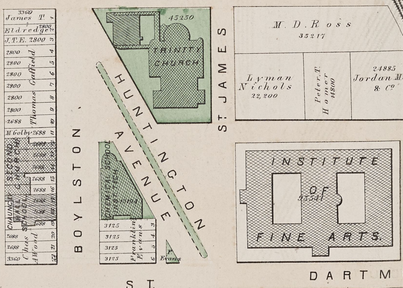
English: Surveyor's map of Copley Square, Boston, 1874 |
| Date | |
| Source |
Map reproduction courtesy of the Norman B. Leventhal Map & Education Center at the Boston Public Library. https://collections.leventhalmap.org/search/commonwealth:tt44pv33m |
| Author | Griffin Morgan Hopkins, Jr. |
Licensing
This work is in the public domain in the United States because it was published (or registered with the U.S. Copyright Office) before January 1, 1929.
Public domain works must be out of copyright in both the United States and in the source country of the work in order to be hosted on the Commons. If the work is not a U.S. work, the file must have an additional copyright tag indicating the copyright status in the source country.
Note: This tag should not be used for sound recordings. |
File history
Click on a date/time to view the file as it appeared at that time.
| Date/Time | Thumbnail | Dimensions | User | Comment | |
|---|---|---|---|---|---|
| current | 14:51, 15 June 2022 | | 1,658 × 1,185 (2.76 MB) | Andy02124 | Uploaded a work by Griffin Morgan Hopkins, Jr. from Map reproduction courtesy of the Norman B. Leventhal Map & Education Center at the Boston Public Library. https://collections.leventhalmap.org/search/commonwealth:tt44pv33m with UploadWizard |
File usage
The following pages on the English Wikipedia use this file (pages on other projects are not listed):