
File:Construction in the West Don Lands, 2013 06 03 A (2).JPG
Size of this preview: 800 × 600 pixels. Other resolutions: 320 × 240 pixels | 640 × 480 pixels | 1,024 × 768 pixels | 1,280 × 960 pixels | 2,560 × 1,920 pixels | 4,320 × 3,240 pixels.
Original file (4,320 × 3,240 pixels, file size: 5.12 MB, MIME type: image/jpeg)
| This is a file from the Wikimedia Commons. Information from its description page there is shown below. Commons is a freely licensed media file repository. You can help. |
.JPG)
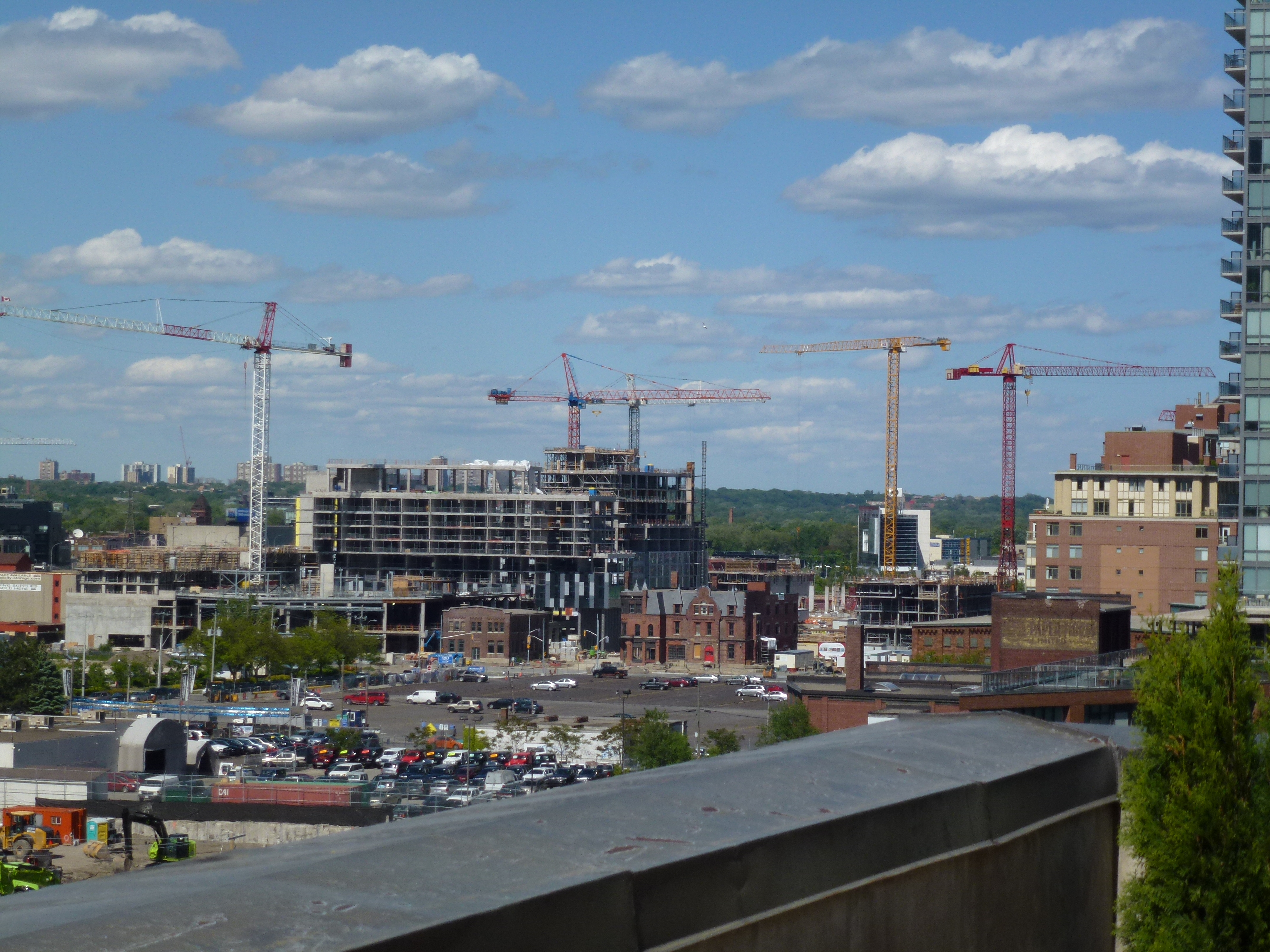
| Description | Construction in the West Don Lands, in Toronto. | ||
| Date | |||
| Source | Own work | ||
| Author | Geo Swan (talk) | ||
| Permission (Reusing this file) |
|
| Camera location | | View this and other nearby images on: OpenStreetMap |
|---|
.JPG¶ms=043.649453_N_-079.363350_E_globe:Earth_type:camera_source:exif_&language=en)
File history
Click on a date/time to view the file as it appeared at that time.
| Date/Time | Thumbnail | Dimensions | User | Comment | |
|---|---|---|---|---|---|
| current | 03:41, 12 July 2013 | | 4,320 × 3,240 (5.12 MB) | Geo Swan | {{Information | Description = Construction in the West Don Lands, in Toronto. | Source = {{own}} | Date = 2013-06-03 | Author = ~~~ | Permission = {{PD-Self}} }} {{GPS-EXIF}} Category:Construction in the West Don Lands [[Catego... |
File usage
The following pages on the English Wikipedia use this file (pages on other projects are not listed):
.JPG)