
File:Confluenceoftameandgoyt.JPG

Size of this preview: 450 × 600 pixels. Other resolutions: 180 × 240 pixels | 360 × 480 pixels | 768 × 1,024 pixels.
Original file (768 × 1,024 pixels, file size: 383 KB, MIME type: image/jpeg)
| This is a file from the Wikimedia Commons. Information from its description page there is shown below. Commons is a freely licensed media file repository. You can help. |
Summary
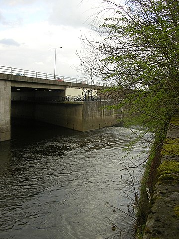
| Description | Photograph of the confluence of the en:River Tame and the en:River Goyt to form the en:River Mersey in en:Stockport. |
| Date | |
| Source | Own work |
| Author | Polishname |
| Permission (Reusing this file) |
Released into the public domain (by author) |
| Camera location | | View this and other nearby images on: OpenStreetMap |
|---|
Licensing
| I, the copyright holder of this work, release this work into the public domain. This applies worldwide. In some countries this may not be legally possible; if so: I grant anyone the right to use this work for any purpose, without any conditions, unless such conditions are required by law. |
File history
Click on a date/time to view the file as it appeared at that time.
| Date/Time | Thumbnail | Dimensions | User | Comment | |
|---|---|---|---|---|---|
| current | 11:35, 1 April 2008 | | 768 × 1,024 (383 KB) | Polishname~commonswiki | {{Information |Description=Photograph of the confluence of the en:River Tame and the en:River Goyt to form the en:River Mersey in en:Stockport. |Source=self-made |Date=2008-03-31 |Author= Polishname |Permission=Rele |
File usage
The following pages on the English Wikipedia use this file (pages on other projects are not listed):
Global file usage
The following other wikis use this file:
- Usage on af.wikipedia.org
- Usage on cs.wikipedia.org
- Usage on fa.wikipedia.org
- Usage on nn.wikipedia.org
- Usage on no.wikipedia.org
- Usage on pl.wikipedia.org
- Usage on ru.wikipedia.org
- Usage on sw.wikipedia.org
- Usage on tr.wikipedia.org
- Usage on vi.wikipedia.org