
File:Coalhouse Fort in Thames Estuary map.png
Size of this preview: 800 × 305 pixels. Other resolutions: 320 × 122 pixels | 1,144 × 436 pixels.
Original file (1,144 × 436 pixels, file size: 10 KB, MIME type: image/png)
| This is a file from the Wikimedia Commons. Information from its description page there is shown below. Commons is a freely licensed media file repository. You can help. |
Summary
| Description |
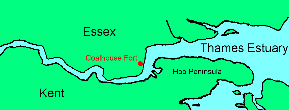
English: Map showing location of Coalhouse Fort in the Thames Estuary |
| Date | |
| Source | File:Lower Thames.png |
| Author | Prioryman, based on map by Slimberly at English Wikipedia |
Licensing
| This work has been released into the public domain by its author, Slimberly at English Wikipedia. This applies worldwide. In some countries this may not be legally possible; if so: Slimberly grants anyone the right to use this work for any purpose, without any conditions, unless such conditions are required by law. |
File history
Click on a date/time to view the file as it appeared at that time.
| Date/Time | Thumbnail | Dimensions | User | Comment | |
|---|---|---|---|---|---|
| current | 22:49, 2 June 2017 | 1,144 × 436 (10 KB) | Prioryman | Annotated Hoo Peninsula | |
| 20:01, 31 May 2017 | 1,144 × 436 (10 KB) | Prioryman | User created page with UploadWizard |
File usage
The following pages on the English Wikipedia use this file (pages on other projects are not listed):
Global file usage
The following other wikis use this file:
- Usage on fa.wikipedia.org