
File:China Xinjiang location map.svg

Original file (SVG file, nominally 2,220 × 1,939 pixels, file size: 464 KB)
| This is a file from the Wikimedia Commons. Information from its description page there is shown below. Commons is a freely licensed media file repository. You can help. |


|
This file requires updating because: The China-Tajikistan border has changed, Kunyu, Xinjiang is not included, Aksai Chin & the Trans-Karakoram Tract (the China-India disputed areas administered by China as part of Xinjiang) probably shouldn't be the same color as Tibet (ought to be slashed white & grey lines or something similar), and etc. other problems In doing so, you could add a timestamp to the file.
|
Summary
| Description |
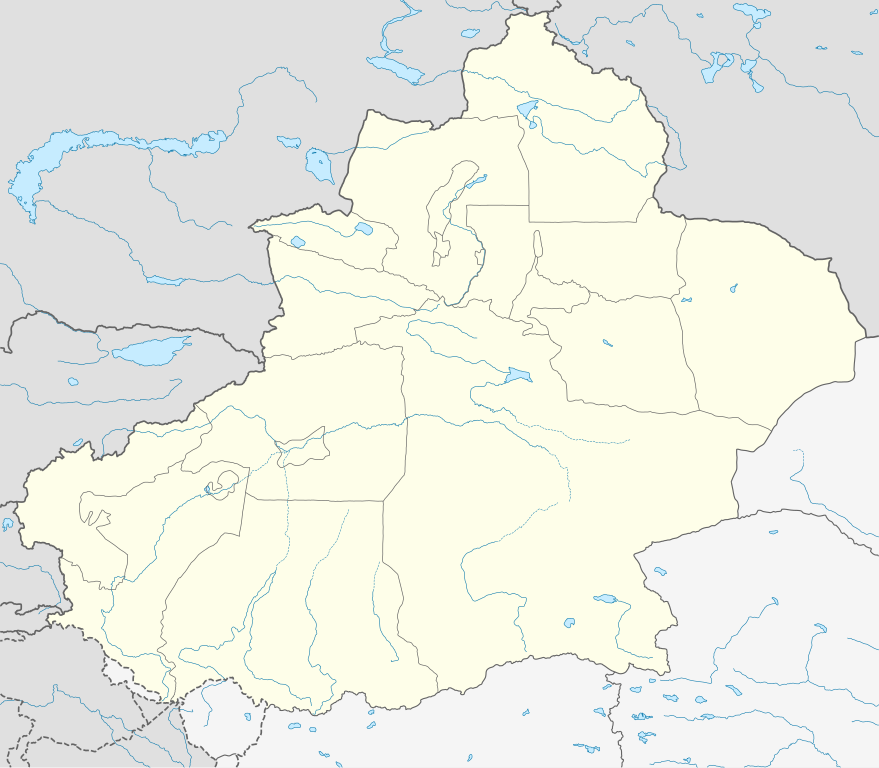
Deutsch: Positionskarte von Xinjiang, Volksrepublik China im Jahr 2010
Quadratische Plattkarte, N-S-Streckung 135 %. Geographische Begrenzung der Karte:
English: Location map of Xinjiang, People's Republic of China, in 2010
Equirectangular projection, N/S stretching 135 %. Geographic limits of the map:
|
||
| Date | |||
| Source |
Own work, using
|
||
| Author | NordNordWest | ||
| Permission (Reusing this file) |
This file is licensed under the Creative Commons Attribution-Share Alike 3.0 Germany license.
 This file is licensed under the Creative Commons Attribution-Share Alike 3.0 Germany license.
|
||
| Other versions |
|
||
| SVG development | This W3C-invalid map was created with Adobe Illustrator.
|


File history
Click on a date/time to view the file as it appeared at that time.
| Date/Time | Thumbnail | Dimensions | User | Comment | |
|---|---|---|---|---|---|
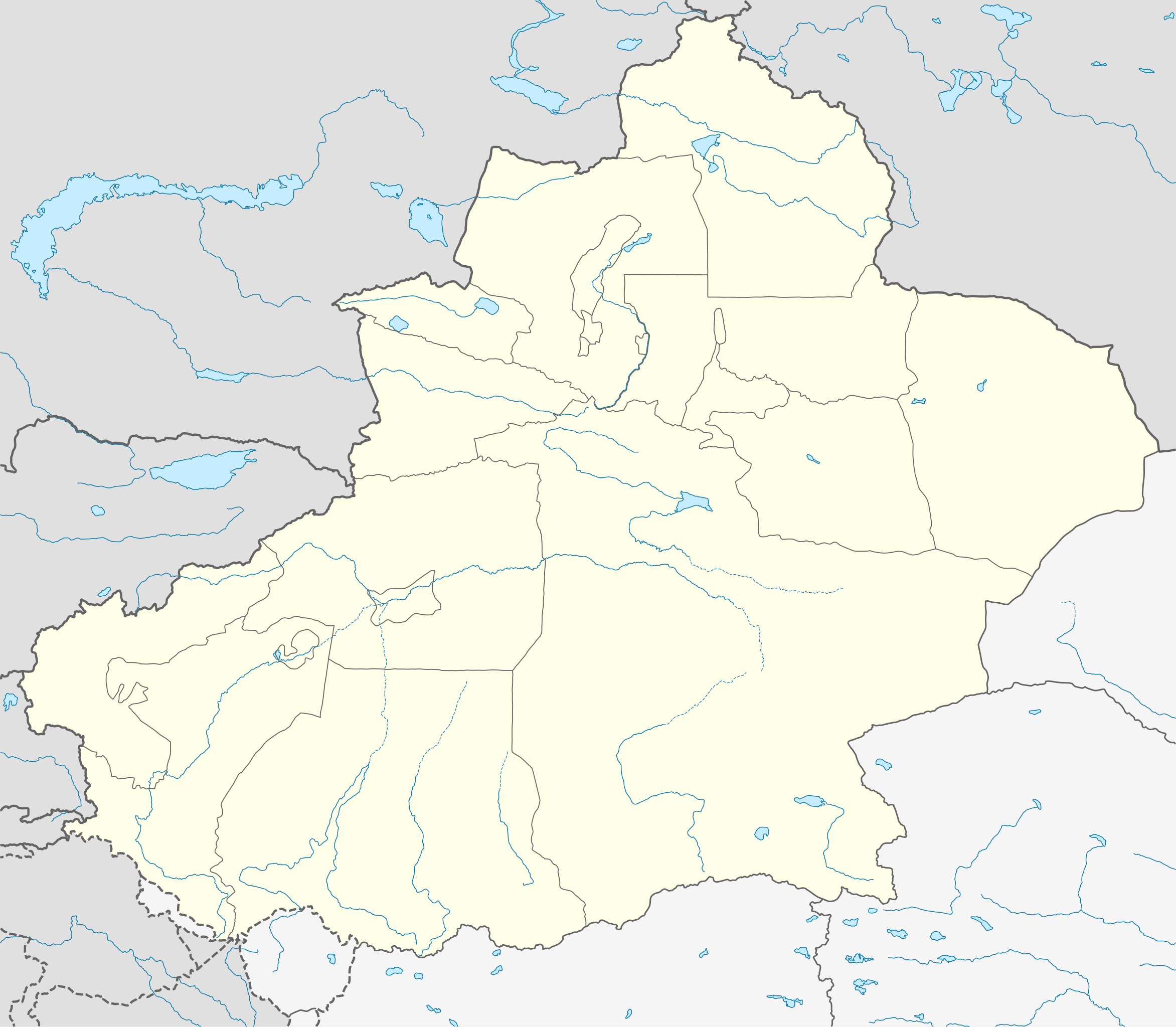
| current | 07:23, 10 June 2020 | | 2,220 × 1,939 (464 KB) | NordNordWest | corr |
| 22:16, 9 June 2020 |  | 2,220 × 1,939 (470 KB) | Bjh21 | Reverted to version as of 13:31, 9 June 2020 (UTC): COM:UPLOADWAR; at least two users are of the opinion that this change is not minor, and I'm coming close to that view myself | |
| 22:09, 9 June 2020 |  | 2,220 × 1,939 (820 KB) | Geographyinitiative | Reverted to version as of 01:15, 9 June 2020 (UTC) Incorrect map is incorrect | |
| 13:31, 9 June 2020 |  | 2,220 × 1,939 (470 KB) | NordNordWest | Reverted to version as of 15:35, 28 December 2012 (UTC) again: only vector data in this svg please | |
| 01:15, 9 June 2020 |  | 2,220 × 1,939 (820 KB) | Geographyinitiative | Reverted to version as of 05:18, 13 April 2020 (UTC) | |
| 20:48, 24 May 2020 |  | 2,220 × 1,939 (470 KB) | Roy17 | Reverted to version as of 15:35, 28 December 2012 (UTC) | |
| 05:18, 13 April 2020 |  | 2,220 × 1,939 (820 KB) | Geographyinitiative | Reverted to version as of 06:36, 29 January 2019 (UTC) See talk page | |
| 10:41, 29 January 2019 |  | 2,220 × 1,939 (470 KB) | NordNordWest | Reverted to version as of 15:35, 28 December 2012 (UTC); only vector data in this svg please | |
| 06:36, 29 January 2019 |  | 2,220 × 1,939 (820 KB) | 复旦大学张超 | edit | |
| 15:35, 28 December 2012 |  | 2,220 × 1,939 (470 KB) | NordNordWest | upd |
File usage
Global file usage
The following other wikis use this file:
- Usage on ar.wikipedia.org
- Usage on ba.wikipedia.org
- Usage on bg.wikipedia.org
- Usage on ceb.wikipedia.org
- Usage on ce.wikipedia.org
- Usage on ckb.wikipedia.org
- Usage on cs.wikipedia.org
- Usage on eo.wikipedia.org
- Usage on es.wikipedia.org
- Usage on et.wikipedia.org
- Usage on fa.wikipedia.org
- Usage on incubator.wikimedia.org
- Usage on kbd.wikipedia.org
- Usage on kn.wikipedia.org
- Usage on ko.wikipedia.org
- Usage on mk.wikipedia.org
- Usage on or.wikipedia.org
- Usage on pl.wikibooks.org
- Usage on pnb.wikipedia.org
- Usage on ps.wikipedia.org
- Usage on simple.wikipedia.org
- Usage on su.wikipedia.org
- Usage on tr.wikipedia.org
- Usage on vi.wikipedia.org
- Usage on war.wikipedia.org
- Usage on xmf.wikipedia.org