
File:China Qinghai location map.svg

Original file (SVG file, nominally 1,351 × 984 pixels, file size: 277 KB)
| This is a file from the Wikimedia Commons. Information from its description page there is shown below. Commons is a freely licensed media file repository. You can help. |
Summary
| Description |
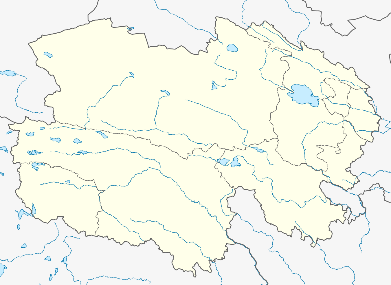
Quadratische Plattkarte, N-S-Streckung 124 %. Geographische Begrenzung der Karte:
Equirectangular projection, N/S stretching 124 %. Geographic limits of the map:
|
|
| Date | ||
| Source |
Own work, using
|
|
| Author | NordNordWest | |
| Permission (Reusing this file) |
This file is licensed under the Creative Commons Attribution-Share Alike 3.0 Germany license.
 This file is licensed under the Creative Commons Attribution-Share Alike 3.0 Unported license.
|


|
This map has been made or improved in the German Kartenwerkstatt (Map Lab). You can propose maps to improve as well.
|
File history
Click on a date/time to view the file as it appeared at that time.
| Date/Time | Thumbnail | Dimensions | User | Comment | |
|---|---|---|---|---|---|
| current | 12:14, 12 December 2019 | | 1,351 × 984 (277 KB) | NordNordWest | corr |
| 19:43, 6 January 2011 |  | 1,351 × 984 (283 KB) | NordNordWest | =={{int:filedesc}}== {{Information |Description= {{de|Positionskarte von Qinghai, Volksrepublik China}} Quadratische Plattkarte, N-S-Streckung 124 %. Geographische Begrenzung der Karte: * N: 39.7° N * S: 31.3° |
File usage
Global file usage
The following other wikis use this file:
- Usage on ar.wikipedia.org
- Usage on ba.wikipedia.org
- Usage on bg.wikipedia.org
- Usage on ceb.wikipedia.org
- Usage on cs.wikipedia.org
- Usage on eo.wikipedia.org
- Usage on es.wikipedia.org
- Usage on fa.wikipedia.org
- الگو:Location map China Qinghai
- گلمود
- دونهوانگ
- لنگهو
- تاکتسر
- گیگو (چین)
- شهرستان زیکتان
- یانشیپینگ، تبت
- کاپوگتانگ
- شهرک رشوی
- شهرستان هاییان (چینگهای)
- شهرستان بانما
- شهرستان چیندو
- شهرستان دارلاگ
- شهرستان دولان
- شهرستان گاده
- شهرستان گانگسا
- شهرستان گونگهه
- شهرستان گویده
- شهرستان گوینان
- شهرستان هوانگیوان
- شهرستان هوانگژونگ
- شهرستان جیگژی
- شهرستان مادوی
View more global usage of this file.