
File:Chihuahua - Localidades.png
Size of this preview: 632 × 599 pixels. Other resolutions: 253 × 240 pixels | 506 × 480 pixels | 1,022 × 969 pixels.
Original file (1,022 × 969 pixels, file size: 73 KB, MIME type: image/png)
| This is a file from the Wikimedia Commons. Information from its description page there is shown below. Commons is a freely licensed media file repository. You can help. |
Summary
| Description |
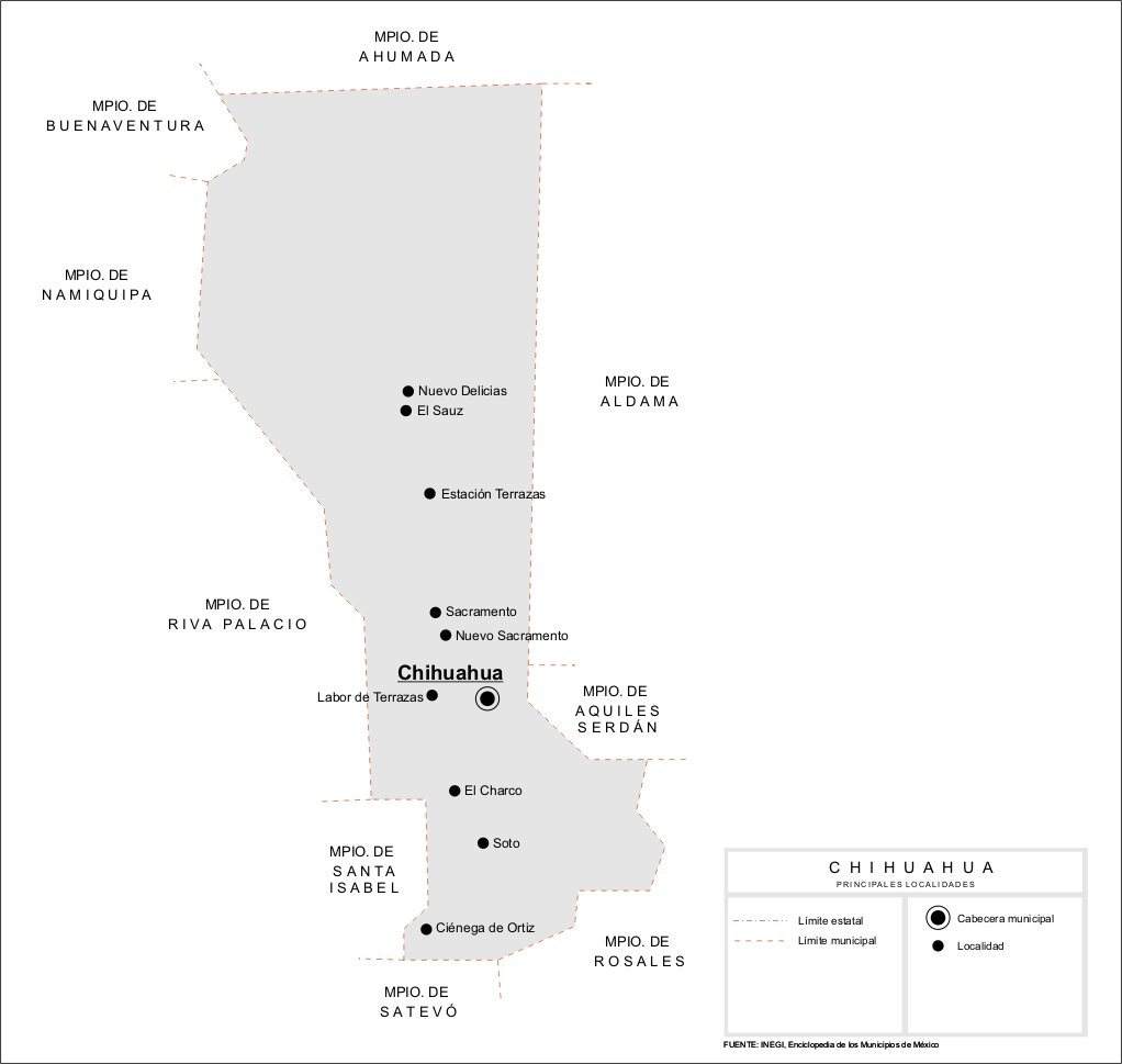
Español: Mapa de las principales localidades del Municipio de Chihuahua en el estado de Chihuahua, México. |
| Date | |
| Source | Own work |
| Author | Battroid |
| Permission (Reusing this file) |
I, the copyright holder of this work, hereby publish it under the following license: This file is licensed under the Creative Commons Attribution-Share Alike 2.5 Generic license.
|
File history
Click on a date/time to view the file as it appeared at that time.
| Date/Time | Thumbnail | Dimensions | User | Comment | |
|---|---|---|---|---|---|
| current | 06:32, 31 March 2007 | | 1,022 × 969 (73 KB) | Battroid | == Summary == {{Information| |Description=*{{es icon}} Mapa de las principales localidades del Municipio de Chihuahua en el estado de Chihuahua, México. |Source=Own work. |Date=March 30, 2007 |Author=Battroid |Permission={{self|cc-by-sa |
File usage
The following pages on the English Wikipedia use this file (pages on other projects are not listed):
Global file usage
The following other wikis use this file:
- Usage on eo.wikipedia.org
- Usage on sco.wikipedia.org