
File:Chicago el train 2004.jpg
No higher resolution available.
Chicago_el_train_2004.jpg (701 × 467 pixels, file size: 69 KB, MIME type: image/jpeg)
| This is a file from the Wikimedia Commons. Information from its description page there is shown below. Commons is a freely licensed media file repository. You can help. |
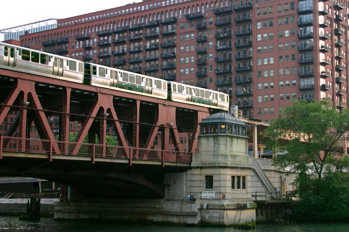
| Description | A westbound Green Line train crosses the south fork of the Chicago River, 2004, by Rick Dikeman | ||||||||
| Source | Own work | ||||||||
| Author | User Rdikeman on en.wikipedia | ||||||||
| Permission (Reusing this file) |
Rdikeman at the English-language Wikipedia, the copyright holder of this work, hereby publishes it under the following license:
|
||||||||
| Other versions |
Originally from en.wikipedia; description page is (was) here * 14:46, 14 August 2004 [[:en:User:Rdikeman|Rdikeman]] 701×467 (70,732 bytes) <span class="comment">(A westbound Chicago "L" train crosses the south fork of the Chicago River, 2004, by Rick Dikeman)</span> |

| Object location | | View this and other nearby images on: OpenStreetMap |
|---|
(Uploaded using CommonsHelper or PushForCommons archive copy at the Wayback Machine)
File history
Click on a date/time to view the file as it appeared at that time.
| Date/Time | Thumbnail | Dimensions | User | Comment | |
|---|---|---|---|---|---|
| current | 17:53, 1 November 2006 | | 701 × 467 (69 KB) | Nicke L | {{Information| |Description= A westbound Green Line train crosses the south fork of the Chicago River, 2004, by Rick Dikeman |Source= |Date= |Author=User Rdikeman on [http://en.wikipedia.org en.wikipedia] |Permission={{GFDL-user-w|en |
File usage
The following pages on the English Wikipedia use this file (pages on other projects are not listed):
Global file usage
The following other wikis use this file:
- Usage on ja.wikipedia.org