
File:Chesterton Indiana Indian Boundary Development.JPG
No higher resolution available.
Chesterton_Indiana_Indian_Boundary_Development.JPG (800 × 600 pixels, file size: 347 KB, MIME type: image/jpeg)
| This is a file from the Wikimedia Commons. Information from its description page there is shown below. Commons is a freely licensed media file repository. You can help. |
Summary
| Description | |
| Date | |
| Source |
Own work (Original caption: " I created this work entirely by myself. ") |
| Author | Chris Light at English Wikipedia |
| Object location | | View this and other nearby images on: OpenStreetMap |
|---|
Licensing
Chris Light at English Wikipedia, the copyright holder of this work, hereby publishes it under the following licenses:
This file is licensed under the Creative Commons Attribution-Share Alike 3.0 Unported license.
Attribution: Chris Light at English Wikipedia
- You are free:
- to share – to copy, distribute and transmit the work
- to remix – to adapt the work
- Under the following conditions:
- attribution – You must give appropriate credit, provide a link to the license, and indicate if changes were made. You may do so in any reasonable manner, but not in any way that suggests the licensor endorses you or your use.
- share alike – If you remix, transform, or build upon the material, you must distribute your contributions under the same or compatible license as the original.

|
Permission is granted to copy, distribute and/or modify this document under the terms of the GNU Free Documentation License, Version 1.2 or any later version published by the Free Software Foundation; with no Invariant Sections, no Front-Cover Texts, and no Back-Cover Texts. A copy of the license is included in the section entitled GNU Free Documentation License. |
You may select the license of your choice.
Original upload log
Transferred from en.wikipedia to Commons by Common Good using CommonsHelper.
The original description page was here. All following user names refer to en.wikipedia.
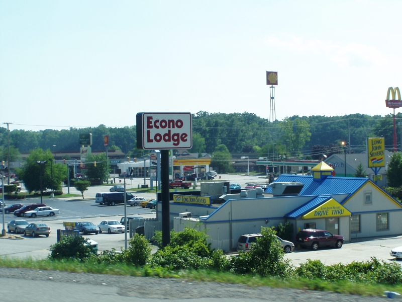
- 2009-01-21 15:01 Chris Light 800×600× (355460 bytes) {{Information |Description=Indian Boundary Road at the junction of S.R. 49 and I-94 |Source=I created this work entirely by myself. |Date=July 31, 2007 |Author=~~~ |other_versions= }}
File history
Click on a date/time to view the file as it appeared at that time.
| Date/Time | Thumbnail | Dimensions | User | Comment | |
|---|---|---|---|---|---|
| current | 17:20, 8 September 2011 | | 800 × 600 (347 KB) | File Upload Bot (Magnus Manske) | {{BotMoveToCommons|en.wikipedia|year={{subst:CURRENTYEAR}}|month={{subst:CURRENTMONTHNAME}}|day={{subst:CURRENTDAY}}}} {{Information |Description={{en|Indian Boundary Road at the junction of S.R. 49 and I-94<br/> == Licensing: ==}} |Source=Transferred fr |
File usage
The following pages on the English Wikipedia use this file (pages on other projects are not listed):
Global file usage
The following other wikis use this file:
- Usage on de.wikipedia.org