
File:Charleroi-rue de la Digue-Popp.jpg
Size of this preview: 600 × 600 pixels. Other resolutions: 240 × 240 pixels | 480 × 480 pixels.
Original file (800 × 800 pixels, file size: 608 KB, MIME type: image/jpeg)
| This is a file from the Wikimedia Commons. Information from its description page there is shown below. Commons is a freely licensed media file repository. You can help. |
Summary
| Description | |
| Date | |
| Source | Bibliothèque royale de Belgique |
| Author | Philippe Popp (1805-1879) |
Licensing
|
This work is in the public domain in its country of origin and other countries and areas where the copyright term is the author's life plus 100 years or fewer. | |
| This file has been identified as being free of known restrictions under copyright law, including all related and neighboring rights. | |
File history
Click on a date/time to view the file as it appeared at that time.
| Date/Time | Thumbnail | Dimensions | User | Comment | |
|---|---|---|---|---|---|
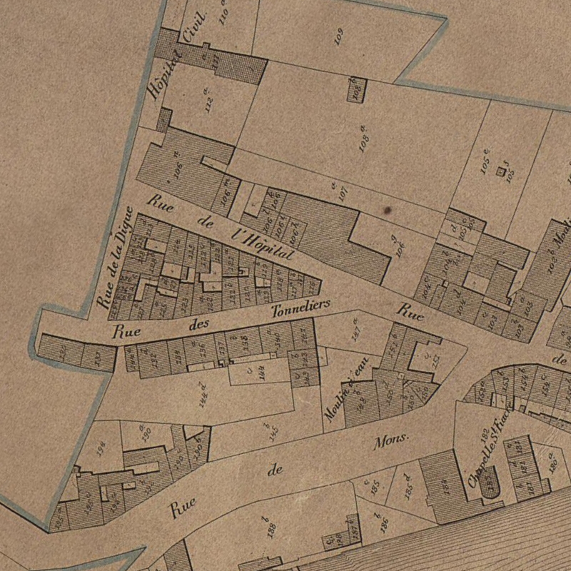
| current | 19:13, 17 January 2011 | | 800 × 800 (608 KB) | Jmh2o | {{Information |Description={{fr|1=Charleroi (Belgique) : rue de la Digue, rue des Tonneliers, rue de Mons et le quartier du "Sale Debout". Environ 1865. Extrait de l'atlas cadastral parcellaire de la Belgique, plus connu |
File usage
The following pages on the English Wikipedia use this file (pages on other projects are not listed):
Global file usage
The following other wikis use this file:
- Usage on fr.wikipedia.org