
File:Charente-Maritime department location map.svg

Size of this PNG preview of this SVG file: 499 × 600 pixels. Other resolutions: 200 × 240 pixels | 399 × 480 pixels | 639 × 768 pixels | 852 × 1,024 pixels | 1,704 × 2,048 pixels | 942 × 1,132 pixels.
Original file (SVG file, nominally 942 × 1,132 pixels, file size: 425 KB)
| This is a file from the Wikimedia Commons. Information from its description page there is shown below. Commons is a freely licensed media file repository. You can help. |
Summary
| Camera location | | View this and other nearby images on: OpenStreetMap |
|---|
| Description |
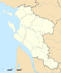
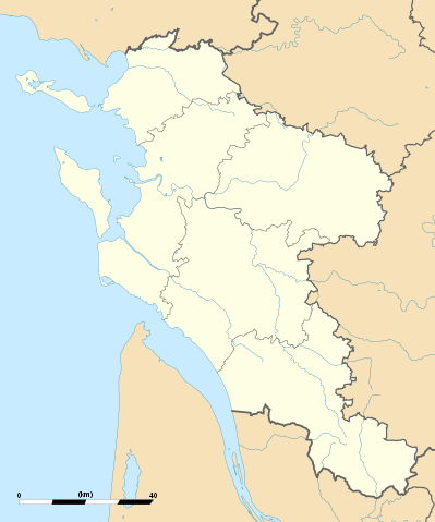
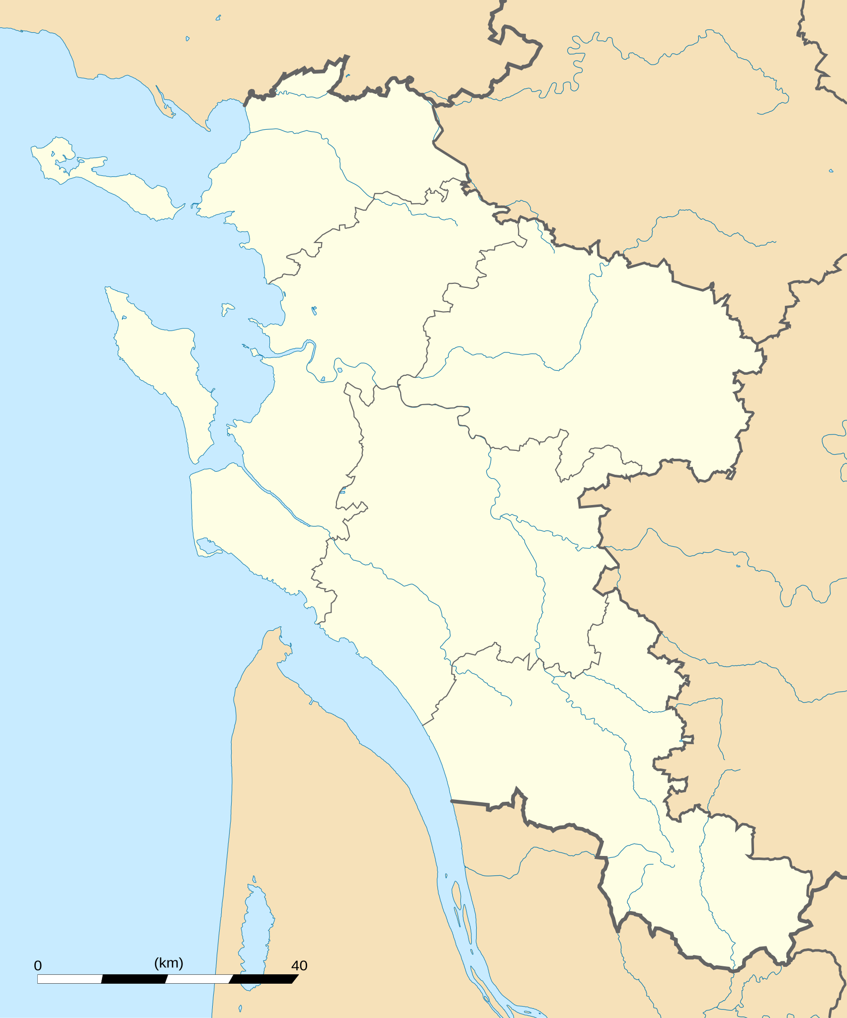
English: Blank administrative map of the department of Charente-Maritime, France, for geo-location purpose, with distinct boundaries for regions, departments and arrondissements.
Français : Carte administrative vierge du département de Charente-Maritime, France, destinée à la géolocalisation, avec limite distincte des régions, départements et arrondissements. Approximate scale: 1:560,000 (precision: 140 m)
Geographic limits of the map:
|
||
| Date | |||
| Source |
Own work
|
||
| Author | Eric Gaba (Sting - fr:Sting) | ||
| Permission (Reusing this file) |
|
||
| Other versions |
|

Licensing
I, the copyright holder of this work, hereby publish it under the following licenses:
This file is licensed under the Creative Commons Attribution-Share Alike 3.0 Unported license.
- You are free:
- to share – to copy, distribute and transmit the work
- to remix – to adapt the work
- Under the following conditions:
- attribution – You must give appropriate credit, provide a link to the license, and indicate if changes were made. You may do so in any reasonable manner, but not in any way that suggests the licensor endorses you or your use.
- share alike – If you remix, transform, or build upon the material, you must distribute your contributions under the same or compatible license as the original.

|
Permission is granted to copy, distribute and/or modify this document under the terms of the GNU Free Documentation License, Version 1.2 or any later version published by the Free Software Foundation; with no Invariant Sections, no Front-Cover Texts, and no Back-Cover Texts. A copy of the license is included in the section entitled GNU Free Documentation License. |
You may select the license of your choice.
File history
Click on a date/time to view the file as it appeared at that time.
| Date/Time | Thumbnail | Dimensions | User | Comment | |
|---|---|---|---|---|---|
| current | 02:43, 15 October 2008 | | 942 × 1,132 (425 KB) | Sting | == Summary == {{Location|45|44|15|N|00|46|30|W|scale:1000000}} <br/> {{Information |Description={{en|Blank administrative map of the department of Charente-Maritime, France, for geo-location purpose, with distinct boundaries for |
File usage
The following pages on the English Wikipedia use this file (pages on other projects are not listed):
Global file usage
The following other wikis use this file:
- Usage on als.wikipedia.org
- Usage on ar.wikipedia.org
- Usage on ceb.wikipedia.org
- Usage on cs.wikipedia.org
- Usage on cy.wikipedia.org
- Usage on de.wikipedia.org
- Usage on eo.wikipedia.org
- La Rochelle
- Saint-Trojan-les-Bains
- Île-d'Aix
- La Jarrie
- Esnandes
- Ŝablono:Informkesto ponto
- Ŝablono:Informkesto ponto/dokumentado
- Ponto de Oléron
- Rochefort (Charente-Maritime)
- Marennes (Charente-Maritime)
- Ŝablono:Situo sur mapo Francio Charente-Maritime
- Surgères
- Saint-Denis-d'Oléron
- Saint-Pierre-d'Oléron
- Saint-Georges-d'Oléron
- Hiers-Brouage
- Bourcefranc-le-Chapus
- Marsilly (Charente-Maritime)
- Lagord
- L'Houmeau
- Les Mathes
- Saint-Xandre
- La Brée-les-Bains
- Nieul-sur-Mer
- Puilboreau
- Charron (Charente-Maritime)
- Andilly (Charente-Maritime)
- Mornac-sur-Seudre
- Dompierre-sur-Mer
- Sainte-Soulle
- Aytré
- Angoulins
- Châtelaillon-Plage
- Arvert
- Périgny (Charente-Maritime)
View more global usage of this file.