
File:Chantry Island Landsat.png
No higher resolution available.
Chantry_Island_Landsat.png (722 × 562 pixels, file size: 605 KB, MIME type: image/png)
| This is a file from the Wikimedia Commons. Information from its description page there is shown below. Commons is a freely licensed media file repository. You can help. |
Summary
| Description |
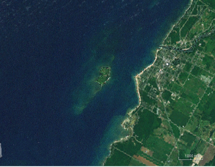
English: NASA Landsat image of Chantry Island, Ontario. Cropped by the uploader. |
| Date | Unknown date |
| Source | NASA WorldWind java version. |
| Author | Landsat. |
Licensing
| This image is in the public domain because it is a screenshot from NASA’s globe software World Wind using a public domain layer, such as Blue Marble, MODIS, Landsat, SRTM, USGS or GLOBE.
|
 |
File history
Click on a date/time to view the file as it appeared at that time.
| Date/Time | Thumbnail | Dimensions | User | Comment | |
|---|---|---|---|---|---|
| current | 01:42, 25 July 2016 | | 722 × 562 (605 KB) | Oaktree b | User created page with UploadWizard |
File usage
The following pages on the English Wikipedia use this file (pages on other projects are not listed):