
File:Chambery 1645.jpg

Original file (1,407 × 1,060 pixels, file size: 1.15 MB, MIME type: image/jpeg)
| This is a file from the Wikimedia Commons. Information from its description page there is shown below. Commons is a freely licensed media file repository. You can help. |
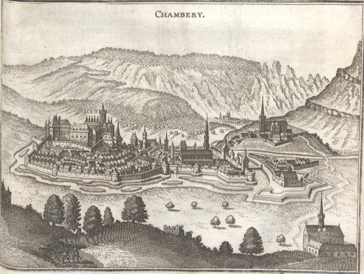
| Description | Topographia Palatinatus Rheni et Vicinarum Regionum Das ist, Beschreibung vnd Eigentliche Abbildung der Vornemsten Statte, Plätz der Vntern Pfaltz am Rhein Vnd Benachbarten Landschafften, als der Bistümer Wormbs Vnd SpeÈyer, der Bergstraß, des Wessterreichs, Hundsrücks, ZweÈybrüggen, etc | |||||||||||||||||||||||||||||||||||
| Date | ||||||||||||||||||||||||||||||||||||
| Source | de:wikipedia | |||||||||||||||||||||||||||||||||||
| Author |
|
|||||||||||||||||||||||||||||||||||
| Permission (Reusing this file) |
|
|||||||||||||||||||||||||||||||||||

_001.jpg)

_239.jpg)
_241.jpg)
File history
Click on a date/time to view the file as it appeared at that time.
| Date/Time | Thumbnail | Dimensions | User | Comment | |
|---|---|---|---|---|---|
| current | 10:08, 16 December 2010 | | 1,407 × 1,060 (1.15 MB) | Re probst | {{Information |Description=Topographia Palatinatus Rheni et Vicinarum Regionum Das ist, Beschreibung vnd Eigentliche Abbildung der Vornemsten Statte, Plätz der Vntern Pfaltz am Rhein Vnd Benachbarten Landschafften, als der Bistümer Wormbs Vnd SpeÈyer, |
File usage
Global file usage
The following other wikis use this file:
- Usage on ar.wikipedia.org
- Usage on azb.wikipedia.org
- Usage on cs.wikipedia.org
- Usage on de.wikipedia.org
- Usage on fr.wikipedia.org
- Usage on ja.wikipedia.org
- Usage on ko.wikipedia.org
- Usage on pt.wikipedia.org