
File:Cathedral of Saint Sava, Belgrade.jpg
Original file (2,753 × 1,843 pixels, file size: 1.15 MB, MIME type: image/jpeg)
| This is a file from the Wikimedia Commons. Information from its description page there is shown below. Commons is a freely licensed media file repository. You can help. |
| Description |
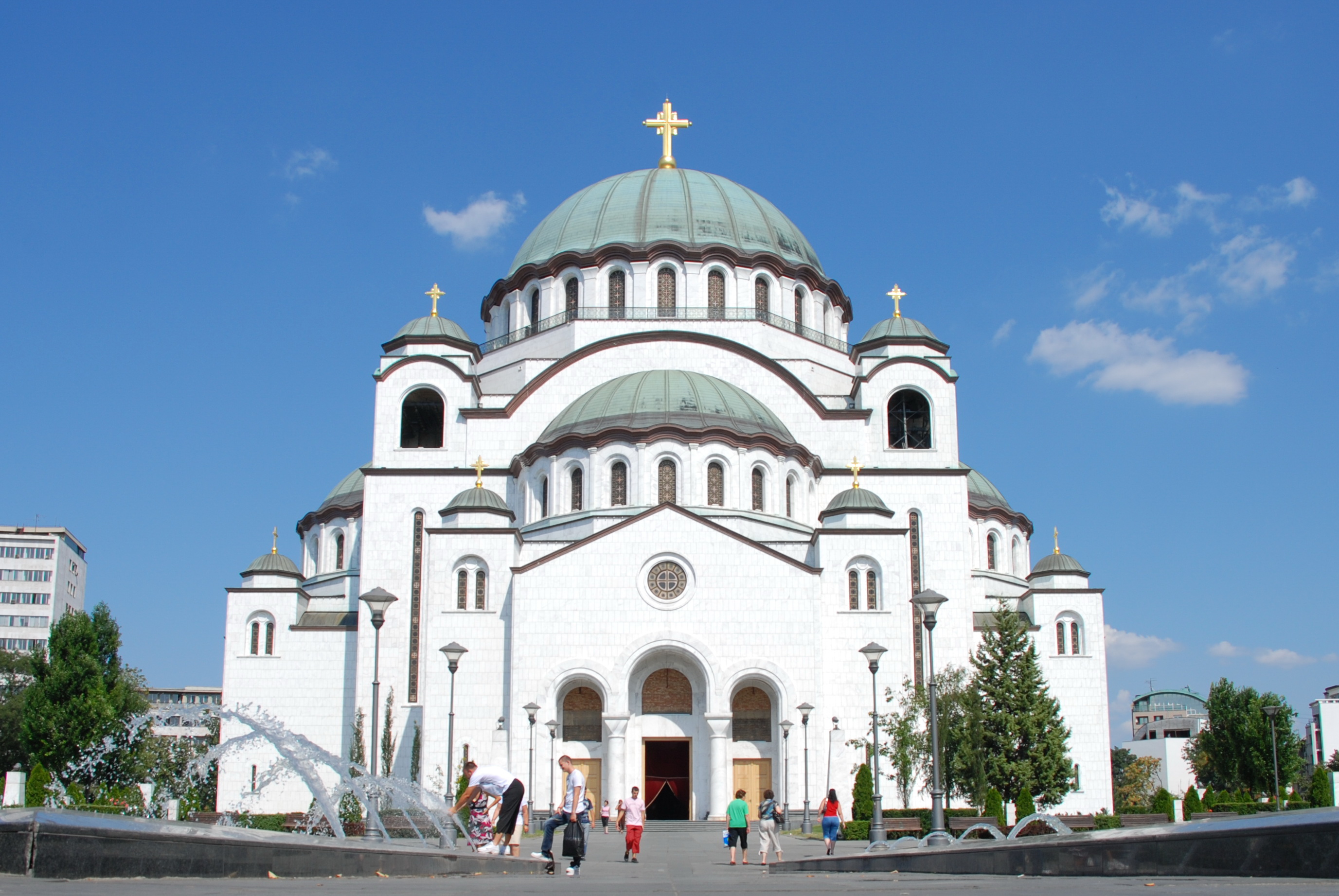
The Cathedral of Saint Sava is an Orthodox church in Belgrade, the capital of Serbia, the largest in the world. The church is dedicated to Saint Sava, founder of the Serbian Orthodox Church and an important figure in medieval Serbia. It is built on the Vracar plateau, on the location where his remains are thought to have been burned in 1595 by the Ottoman Empire's Sinan Pasha. From its location, it dominates Belgrade's cityscape, and is perhaps the most monumental building in the city. The building of the church structure is being financed exclusively by donations. The parish home is nearby, as will be the planned patriarchal building. <a href="http://en.wikipedia.org/wiki/Cathedral_of_Saint_Sava" rel="nofollow">en.wikipedia.org/wiki/Cathedral_of_Saint_Sava</a> <a href="http://www.hramsvetogsave.com" rel="nofollow">www.hramsvetogsave.com</a> <a href="http://en.wikipedia.org/wiki/Saint_Sava" rel="nofollow">en.wikipedia.org/wiki/Saint_Sava</a> |
||
| Date | |||
| Source | originally posted to Flickr as Cathedral of Saint Sava, Belgrade | ||
| Author | George Groutas | ||
| Permission (Reusing this file) |
This file is licensed under the Creative Commons Attribution 2.0 Generic license.
|
| Camera location | | View this and other nearby images on: OpenStreetMap |
|---|
File history
Click on a date/time to view the file as it appeared at that time.
| Date/Time | Thumbnail | Dimensions | User | Comment | |
|---|---|---|---|---|---|
| current | 05:17, 24 March 2010 | | 2,753 × 1,843 (1.15 MB) | Flickr upload bot | Uploaded from http://flickr.com/photo/22083482@N03/3770037751 using Flickr upload bot |
File usage
Global file usage
The following other wikis use this file:
- Usage on af.wikipedia.org
- Usage on be.wikipedia.org
- Usage on bg.wikipedia.org
- Usage on ceb.wikipedia.org
- Usage on es.wikipedia.org
- Usage on hr.wikipedia.org
- Usage on hu.wikipedia.org
- Usage on io.wikipedia.org
- Usage on it.wikipedia.org
- Usage on no.wikipedia.org
- Usage on ro.wikipedia.org
- Usage on ru.wikinews.org
- Usage on sh.wikipedia.org
- Usage on sl.wikipedia.org
- Usage on sr.wikipedia.org
- Usage on sv.wikipedia.org
- Usage on te.wikipedia.org
- Usage on uk.wikipedia.org
- Usage on zh.wikipedia.org