
File:Carloggas Downs - geograph.org.uk - 289871.jpg
No higher resolution available.
Carloggas_Downs_-_geograph.org.uk_-_289871.jpg (640 × 427 pixels, file size: 208 KB, MIME type: image/jpeg)
| This is a file from the Wikimedia Commons. Information from its description page there is shown below. Commons is a freely licensed media file repository. You can help. |
Summary
| Description |
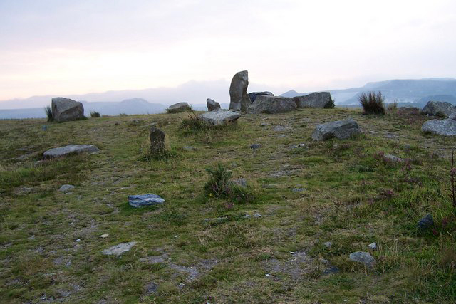
English: Carloggas Downs This downs had been covered by sand waste from china clay workings but around 2000 the industry in combination with English nature have flattened and it is being 'reclaimed' as a heath. |
| Date | |
| Source | From geograph.org.uk |
| Author | mike hancock |
| Attribution (required by the license) | mike hancock / Carloggas Downs / |
| Camera location | | View this and other nearby images on: OpenStreetMap |
|---|
_heading:112.00&language=en)
| Object location | | View this and other nearby images on: OpenStreetMap |
|---|
_heading:112.00&language=en)
Licensing

|
This image was taken from the Geograph project collection. See this photograph's page on the Geograph website for the photographer's contact details. The copyright on this image is owned by mike hancock and is licensed for reuse under the Creative Commons Attribution-ShareAlike 2.0 license.
|
This file is licensed under the Creative Commons Attribution-Share Alike 2.0 Generic license.
Attribution: mike hancock
- You are free:
- to share – to copy, distribute and transmit the work
- to remix – to adapt the work
- Under the following conditions:
- attribution – You must give appropriate credit, provide a link to the license, and indicate if changes were made. You may do so in any reasonable manner, but not in any way that suggests the licensor endorses you or your use.
- share alike – If you remix, transform, or build upon the material, you must distribute your contributions under the same or compatible license as the original.
- Remove redundant categories and try to put this image in the most specific category/categories
- Remove this template
- The location categories are based on information from this geonames tool and this OpenStreetMap tool combined with a database. You can also have a look at this tool from mysociety.
- The topic category from Geograph was Reclaimed land (find similar images land at Geograph)
File history
Click on a date/time to view the file as it appeared at that time.
| Date/Time | Thumbnail | Dimensions | User | Comment | |
|---|---|---|---|---|---|
| current | 00:20, 8 August 2015 | | 640 × 427 (208 KB) | Carl Henderson | Watermarked date stamp removed as per Graphics Lab request. |
| 19:00, 14 December 2010 |  | 640 × 427 (75 KB) | GeographBot | == {{int:filedesc}} == {{Information |description={{en|1=Carloggas Downs This downs had been covered by sand waste from china clay workings but around 2000 the industry in combination with English nature have flattened and it is being 'reclaimed' as a hea |
File usage
The following pages on the English Wikipedia use this file (pages on other projects are not listed):
Global file usage
The following other wikis use this file:
- Usage on eu.wikipedia.org
- Usage on www.wikidata.org