
File:Canvey Island OSM map 2010.jpg

Size of this preview: 778 × 599 pixels. Other resolutions: 312 × 240 pixels | 623 × 480 pixels | 997 × 768 pixels | 1,062 × 818 pixels.
Original file (1,062 × 818 pixels, file size: 141 KB, MIME type: image/jpeg)
| This is a file from the Wikimedia Commons. Information from its description page there is shown below. Commons is a freely licensed media file repository. You can help. |
| Description |
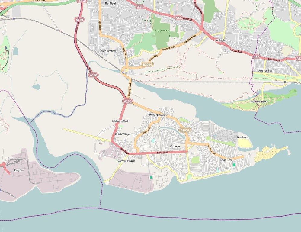
English: Map of Canvey Island (Essex, United Kingdom) and its surrounding areas. |
| Date | |
| Source | OpenStreetMap |
| Author | The OpenStreetMap Project. |
| Permission (Reusing this file) |
This file is licensed under the Creative Commons Attribution 2.0 Generic license.
|
File history
Click on a date/time to view the file as it appeared at that time.
| Date/Time | Thumbnail | Dimensions | User | Comment | |
|---|---|---|---|---|---|
| current | 16:14, 2 June 2010 | | 1,062 × 818 (141 KB) | Oneblackline | {{Information |Description={{en|1=Map of Canvey Island (Essex, United Kingdom) and its surrounding areas.}} |Source=[http://www.openstreetmap.org/?lat=51.5311&lon=0.5752&zoom=13&layers=B000FTFT OpenStreetMap] |Author=The OpenStreetMap |
File usage
The following pages on the English Wikipedia use this file (pages on other projects are not listed):
Global file usage
The following other wikis use this file:
- Usage on arz.wikipedia.org
- Usage on azb.wikipedia.org
- Usage on ceb.wikipedia.org
- Usage on et.wikipedia.org
- Usage on fa.wikipedia.org
- Usage on lld.wikipedia.org
- Usage on pl.wikipedia.org
- Usage on sh.wikipedia.org
- Usage on te.wikipedia.org
- Usage on vo.wikipedia.org
- Usage on www.wikidata.org
- Usage on yi.wikipedia.org
- Usage on zh.wikipedia.org