
File:CBQreview.jpeg
Size of this preview: 800 × 600 pixels. Other resolutions: 320 × 240 pixels | 640 × 480 pixels | 1,024 × 768 pixels | 1,280 × 960 pixels | 2,304 × 1,728 pixels.
Original file (2,304 × 1,728 pixels, file size: 1.27 MB, MIME type: image/jpeg)
| This is a file from the Wikimedia Commons. Information from its description page there is shown below. Commons is a freely licensed media file repository. You can help. |
Summary
| Description |
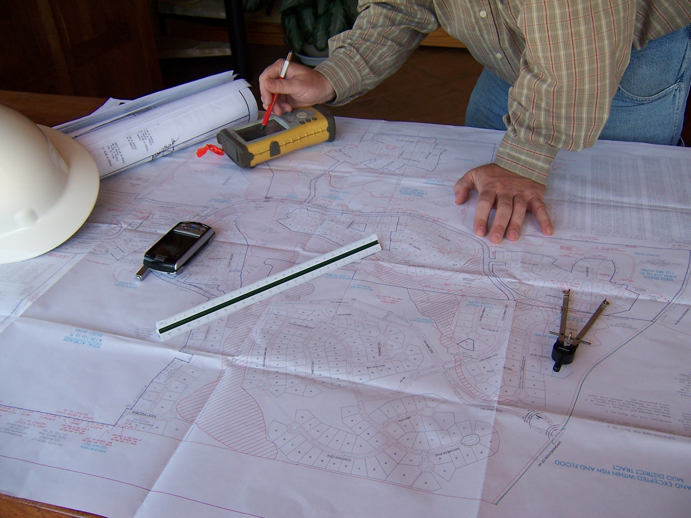
English: Al Bordeau Reviewing Plansets. Is this a plan of utilities like water supply, electricity, etc in a urban district (MUD District Tract = Municipal Utility District)? which? what device is lying there? |
| Date | |
| Source | Own work |
| Author | Abordeau |
| Object location | | View this and other nearby images on: OpenStreetMap |
|---|
Licensing
| I, the copyright holder of this work, release this work into the public domain. This applies worldwide. In some countries this may not be legally possible; if so: I grant anyone the right to use this work for any purpose, without any conditions, unless such conditions are required by law. |
File history
Click on a date/time to view the file as it appeared at that time.
| Date/Time | Thumbnail | Dimensions | User | Comment | |
|---|---|---|---|---|---|
| current | 07:44, 30 September 2008 | | 2,304 × 1,728 (1.27 MB) | Abordeau | {{Information |Description={{en|1=Al Bordeau Reviewing Plansets}} |Source=Own work by uploader |Author=Abordeau |Date=May 2008 |Permission= |other_versions= }} <!--{{ImageUpload|full}}--> |
File usage
The following pages on the English Wikipedia use this file (pages on other projects are not listed):
Global file usage
The following other wikis use this file:
- Usage on ar.wikipedia.org
- Usage on bn.wikipedia.org
- Usage on es.wikipedia.org
- Usage on fa.wikipedia.org
- Usage on fr.wikipedia.org
- Usage on he.wikipedia.org
- Usage on hu.wikipedia.org
- Usage on ml.wikipedia.org
- Usage on ta.wikipedia.org
- Usage on www.wikidata.org