
File:Buttahatchee River.jpg
No higher resolution available.
Buttahatchee_River.jpg (720 × 458 pixels, file size: 41 KB, MIME type: image/jpeg)
| This is a file from the Wikimedia Commons. Information from its description page there is shown below. Commons is a freely licensed media file repository. You can help. |
Summary
| Description | |
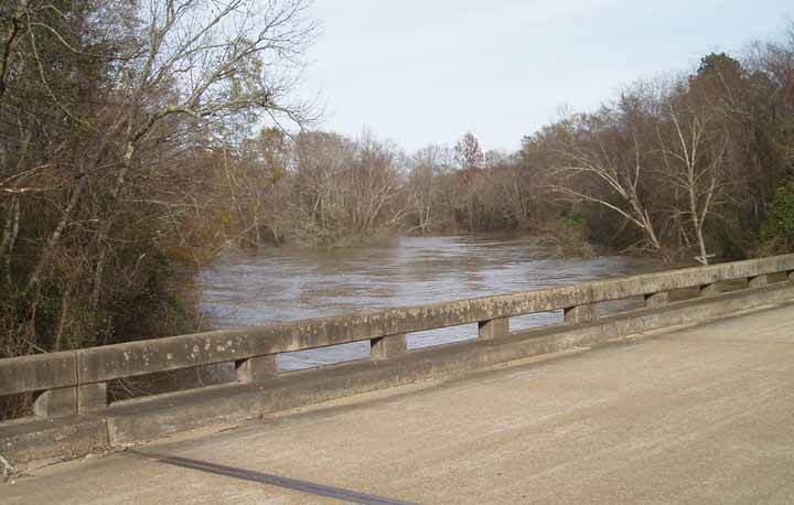
| Source | From site http://ahps.srh.noaa.gov/ahps2/hydrograph.php?wfo=meg&gage=abdm6&view=1,1,1,1,1,1. (File is http://ahps.srh.noaa.gov/images/ahps2/meg/abdm6/viewUS.jpg). |
| Author | NOAA |
| Camera location | | View this and other nearby images on: OpenStreetMap |
|---|
Licensing
This image is in the public domain because it contains materials that originally came from the U.S. National Oceanic and Atmospheric Administration, taken or made as part of an employee's official duties.
|
Original upload log
The original description page was here. All following user names refer to en.wikipedia.
| Date/Time | Dimensions | User | Comment |
|---|---|---|---|
| 2006-01-07 23:47 | 720×458× (42204 bytes) | TimK MSI | The [[Buttahatchee River]] in [[Monroe County, Mississippi]]. From site http://ahps.srh.noaa.gov/ahps2/hydrograph.php?wfo=meg&gage=abdm6&view=1,1,1,1,1,1. (File is http://ahps.srh.noaa.gov/images/ahps2/meg/abdm6/viewUS.jpg). {{PD-USGov-DOC-NOAA}} |
File history
Click on a date/time to view the file as it appeared at that time.
| Date/Time | Thumbnail | Dimensions | User | Comment | |
|---|---|---|---|---|---|
| current | 18:15, 1 March 2017 | | 720 × 458 (41 KB) | Innotata | Transferred from en.wikipedia |
File usage
The following pages on the English Wikipedia use this file (pages on other projects are not listed):
Global file usage
The following other wikis use this file:
- Usage on arz.wikipedia.org
- Usage on ceb.wikipedia.org
- Usage on www.wikidata.org