
File:Blaenau Gwent UK location map.svg

Size of this PNG preview of this SVG file: 469 × 600 pixels. Other resolutions: 188 × 240 pixels | 375 × 480 pixels | 600 × 768 pixels | 801 × 1,024 pixels | 1,601 × 2,048 pixels | 990 × 1,266 pixels.
Original file (SVG file, nominally 990 × 1,266 pixels, file size: 407 KB)
| This is a file from the Wikimedia Commons. Information from its description page there is shown below. Commons is a freely licensed media file repository. You can help. |
| Description |
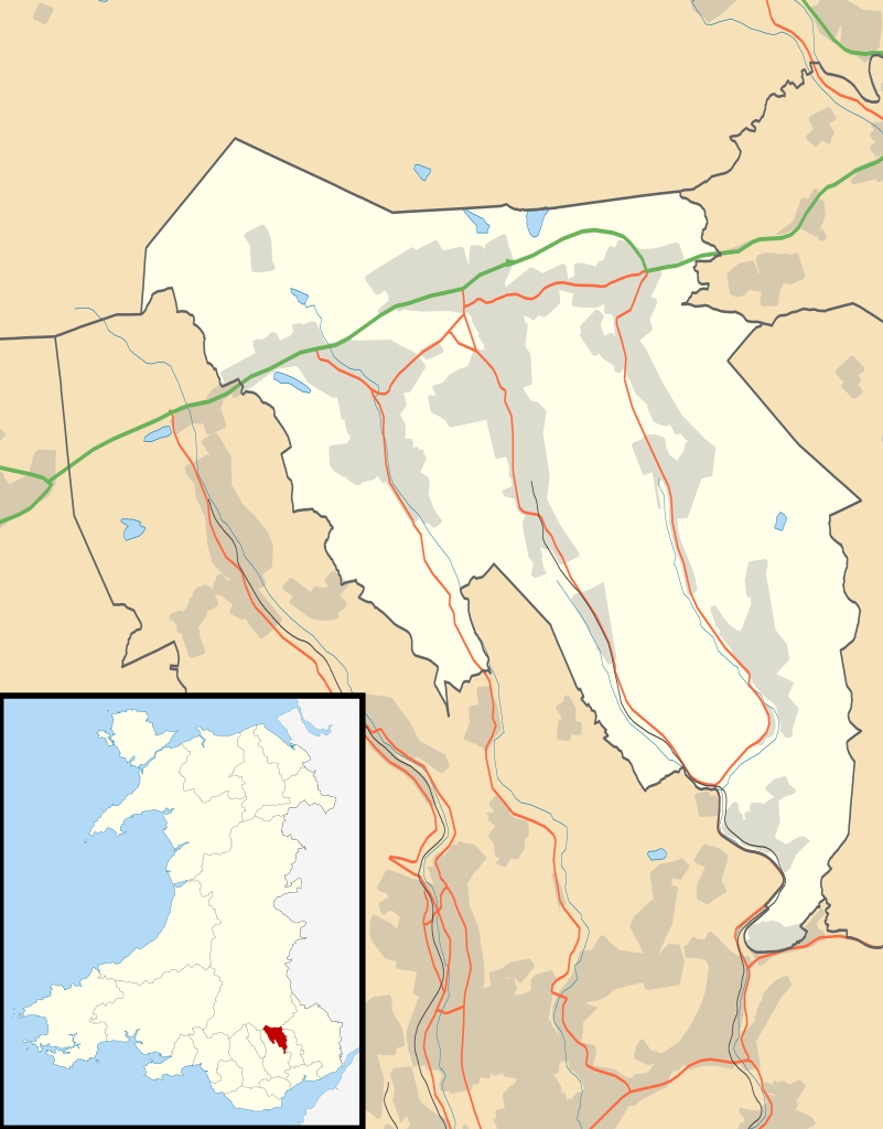
Blank map of Blaenau Gwent, UK with the following information shown:
Equirectangular map projection on WGS 84 datum, with N/S stretched 160% Geographic limits:
|
| Date | |
| Source |
|
| Author | Nilfanion, created using Ordnance Survey data |
| Permission (Reusing this file) |
This file is licensed under the Creative Commons Attribution-Share Alike 3.0 Unported license. Attribution: Contains Ordnance Survey data © Crown copyright and database right
|
| Other versions | File:Blaenau Gwent UK map.svg - Blank map |
File history
Click on a date/time to view the file as it appeared at that time.
| Date/Time | Thumbnail | Dimensions | User | Comment | |
|---|---|---|---|---|---|
| current | 19:26, 26 September 2010 | | 990 × 1,266 (407 KB) | Nilfanion | {{Information |Description=Blank map of Blaenau Gwent, UK with districts shown. Equirectangular map projection on WGS 84 datum, with N/S stretched 160% Geographic limits: *West: 3.35W *East: 3.10W *North: 51.85N *South: 51.65N |Sourc |
File usage
The following pages on the English Wikipedia use this file (pages on other projects are not listed):
- Aberbeeg
- Abertillery
- Abertillery and District Hospital
- Ashvale, Blaenau Gwent
- Badminton, Blaenau Gwent
- Beaufort, Blaenau Gwent
- Blaenau Gwent
- Blaina
- Blaina & District Hospital
- Brynithel
- Brynmawr
- Coalbrookvale
- Cwm, Blaenau Gwent
- Cwmtillery
- Ebbw Vale
- Ebbw Vale Hospital
- Georgetown, Blaenau Gwent
- List of Sites of Special Scientific Interest in Blaenau Gwent
- List of scheduled monuments in Blaenau Gwent
- Llan-dafel
- Llanhilleth
- Nantyglo
- Rassau
- Sirhowy
- Six Bells
- St Illtyd
- St Illtyd's Church, Llanhilleth
- Swffryd
- Tafarnaubach
- Tredegar
- Tredegar General Hospital
- Tredegar Town Hall
- Trefil
- Waun-Lwyd
- Ysbyty'r Tri Chwm
- Ysbyty Aneurin Bevan
- User:Robevans123/sandbox/Tredegar Town Clock
- User:Wop48/sandbox
- Module:Location map/data/Wales Blaenau Gwent
- Module:Location map/data/Wales Blaenau Gwent/doc
Global file usage
The following other wikis use this file:
- Usage on ar.wikipedia.org
- Usage on br.wikipedia.org
- Usage on ceb.wikipedia.org
- Usage on cy.wikipedia.org
- Usage on da.wikipedia.org
- Usage on es.wikipedia.org
- Usage on fa.wikipedia.org
- Usage on fr.wikipedia.org
- Usage on gd.wikipedia.org
- Usage on gv.wikipedia.org
- Usage on ja.wikipedia.org
- Usage on kn.wikipedia.org
- Usage on ko.wikipedia.org
- Usage on pl.wikipedia.org
- Usage on pl.wikibooks.org
- Usage on ro.wikipedia.org
- Usage on sco.wikipedia.org
- Usage on si.wikipedia.org
- Usage on tr.wikipedia.org
- Usage on uz.wikipedia.org
- Usage on war.wikipedia.org
View more global usage of this file.