
File:Big 10 map.png
No higher resolution available.
Big_10_map.png (800 × 552 pixels, file size: 98 KB, MIME type: image/png)
| This is a file from the Wikimedia Commons. Information from its description page there is shown below. Commons is a freely licensed media file repository. You can help. |
Summary
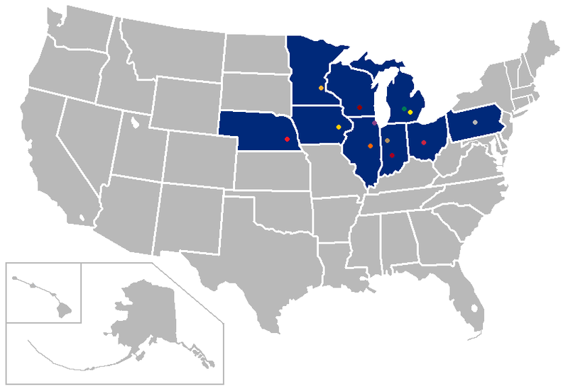
| Description | Derived from [1]; map of states with Big Ten schools; |
| Date | (UTC) |
| Source | |
| Author |
Later versions were uploaded by Patstuart, Porsche997SBS at en.wikipedia.
|
![[1]](https://en.wikipedia.org/wiki/Image:BlankMap-USA-states.PNG)
| This is a retouched picture, which means that it has been digitally altered from its original version. Modifications: Added Nebraska. The original can be viewed here: BigTenUSAMap.png:
|
I, the copyright holder of this work, hereby publish it under the following licenses:
| This file is licensed under the Creative Commons Attribution-Share Alike 3.0 Unported license. Subject to disclaimers. | ||
| ||
| This licensing tag was added to this file as part of the GFDL licensing update. |

|
Permission is granted to copy, distribute and/or modify this document under the terms of the GNU Free Documentation License, Version 1.2 or any later version published by the Free Software Foundation; with no Invariant Sections, no Front-Cover Texts, and no Back-Cover Texts. A copy of the license is included in the section entitled GNU Free Documentation License. Subject to disclaimers. |
You may select the license of your choice.
Original upload log
This image is a derivative work of the following images:
- File:BigTenUSAMap.png licensed with Cc-by-sa-3.0-migrated-with-disclaimers, GFDL-en
- 2007-05-12T10:02:51Z Pacoperez6 841x580 (28962 Bytes) {{Information |Description=Derived from [http://en.wikipedia.org/wiki/Image:BlankMap-USA-states.PNG]; map of states with [[:en:Big Ten Conference| Big Ten]] schools; contains fair-use logo |Source=Originally from [http://en.w
Uploaded with derivativeFX
Licensing
| Copyleft: This work of art is free; you can redistribute it and/or modify it according to terms of the Free Art License. You will find a specimen of this license on the Copyleft Attitude site as well as on other sites. |
File history
Click on a date/time to view the file as it appeared at that time.
| Date/Time | Thumbnail | Dimensions | User | Comment | |
|---|---|---|---|---|---|
| current | 01:04, 10 June 2010 | | 800 × 552 (98 KB) | Dbonness18 | {{Information |Description=Derived from [http://en.wikipedia.org/wiki/Image:BlankMap-USA-states.PNG]; map of states with Big Ten schools; |Source=*File:BigTenUSAMap.png |Date=2010-06-10 00:49 (UTC) |Author=*[[:File:BigTen |
File usage
The following pages on the English Wikipedia use this file (pages on other projects are not listed):
Global file usage
The following other wikis use this file:
- Usage on pl.wikipedia.org
- Usage on zh.wikipedia.org