
File:Berbice in 1780.jpg

Size of this preview: 800 × 525 pixels. Other resolutions: 320 × 210 pixels | 640 × 420 pixels | 1,024 × 671 pixels | 1,280 × 839 pixels | 2,560 × 1,679 pixels | 10,242 × 6,716 pixels.
Original file (10,242 × 6,716 pixels, file size: 15.35 MB, MIME type: image/jpeg)
| This is a file from the Wikimedia Commons. Information from its description page there is shown below. Commons is a freely licensed media file repository. You can help. |
Summary
| Description |
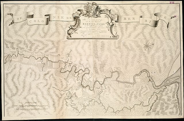
Zoom into this map at maps.bpl.org. Author: Keulen, Johannes van Date: 1780 Location: Berbice River (Guyana), Guyana Dimension 71x111cm Scale: ca. 91,870 Call Number: G5253.M2 1780 .K48x |
| Date | |
| Source |
|
| Author | http://maps.bpl.org |
Licensing
This file is licensed under the Creative Commons Attribution 2.0 Generic license.
- You are free:
- to share – to copy, distribute and transmit the work
- to remix – to adapt the work
- Under the following conditions:
- attribution – You must give appropriate credit, provide a link to the license, and indicate if changes were made. You may do so in any reasonable manner, but not in any way that suggests the licensor endorses you or your use.
| This image, originally posted to Flickr, was reviewed on February 8, 2011 by the administrator or reviewer File Upload Bot (Magnus Manske), who confirmed that it was available on Flickr under the stated license on that date. |
File history
Click on a date/time to view the file as it appeared at that time.
| Date/Time | Thumbnail | Dimensions | User | Comment | |
|---|---|---|---|---|---|
| current | 11:02, 23 September 2018 | | 10,242 × 6,716 (15.35 MB) | Hans Erren | Higher resolution |
| 01:56, 8 February 2011 |  | 2,000 × 1,326 (2.47 MB) | File Upload Bot (Magnus Manske) | {{Information |Description=Zoom into [http://maps.bpl.org/id/14315 this map] at [http://maps.bpl.org maps.bpl.org]. Author: Keulen, Johannes van Date: 1780 Location: Berbice River (Guyana), Guyana Dimension 71x111cm Scale: ca. 91,870 Call Number: G5253. |
File usage
The following pages on the English Wikipedia use this file (pages on other projects are not listed):
Global file usage
The following other wikis use this file:
- Usage on ar.wikipedia.org
- Usage on be.wikipedia.org
- Usage on ca.wikipedia.org
- Usage on fi.wikipedia.org
- Usage on ru.wikipedia.org
- Usage on sl.wikipedia.org
- Usage on uk.wikipedia.org
- Usage on ur.wikipedia.org
- Usage on www.wikidata.org