
File:Bayonne western tip jeh.JPG

Size of this preview: 800 × 419 pixels. Other resolutions: 320 × 168 pixels | 640 × 335 pixels | 1,024 × 536 pixels | 1,280 × 670 pixels | 3,072 × 1,608 pixels.
Original file (3,072 × 1,608 pixels, file size: 573 KB, MIME type: image/jpeg)
| This is a file from the Wikimedia Commons. Information from its description page there is shown below. Commons is a freely licensed media file repository. You can help. |
Summary
| Description |
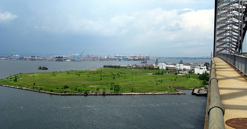
English: Looking north from footpath of Bayonne Bridge at the western point separating Kill Van Kull from Newark Bay on a cloudy early afternoon. |
| Date | |
| Source | Own work |
| Author | Jim.henderson |
| Camera location | | View this and other nearby images on: OpenStreetMap |
|---|
Licensing
| I, the copyright holder of this work, release this work into the public domain. This applies worldwide. In some countries this may not be legally possible; if so: I grant anyone the right to use this work for any purpose, without any conditions, unless such conditions are required by law. |
File history
Click on a date/time to view the file as it appeared at that time.
| Date/Time | Thumbnail | Dimensions | User | Comment | |
|---|---|---|---|---|---|
| current | 01:45, 6 July 2008 | | 3,072 × 1,608 (573 KB) | Jim.henderson | {{Information |Description={{en|1=Looking north from footpath of en:Bayonne Bridge at the western point separating en:Kill Van Kull from en:Newark Bay on a cloudy June 22 2008 early afternoon.}} |Source=Own work by uploader |Author=[[User:J |
File usage
The following pages on the English Wikipedia use this file (pages on other projects are not listed):