
File:Barnacken.jpg

Size of this preview: 800 × 531 pixels. Other resolutions: 320 × 212 pixels | 640 × 425 pixels | 1,024 × 680 pixels | 1,280 × 850 pixels | 2,560 × 1,700 pixels | 3,896 × 2,587 pixels.
Original file (3,896 × 2,587 pixels, file size: 3.03 MB, MIME type: image/jpeg)
| This is a file from the Wikimedia Commons. Information from its description page there is shown below. Commons is a freely licensed media file repository. You can help. |
Summary
| Description |
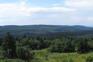
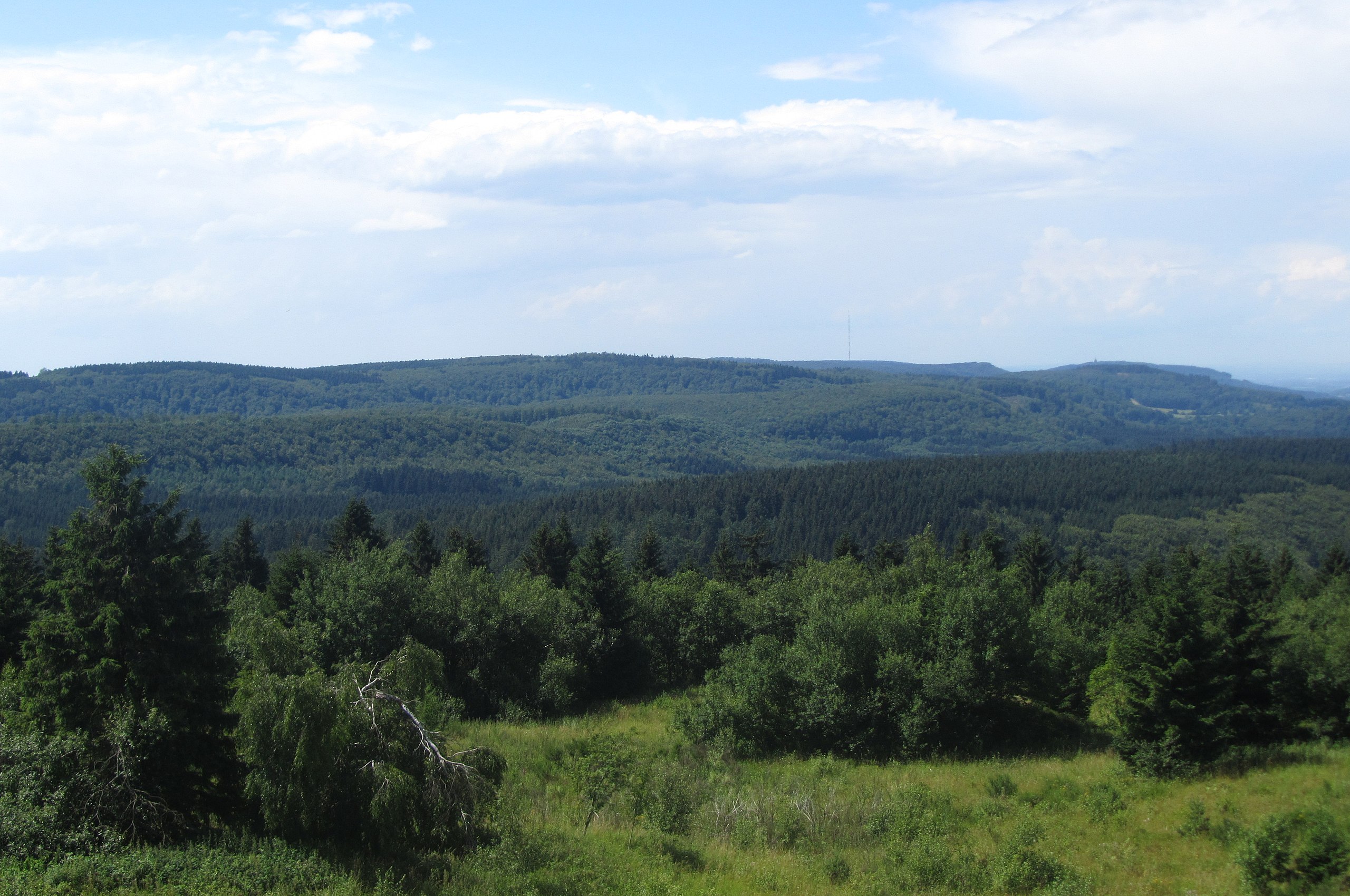
Deutsch: Blick vom Eggeturm auf dem Velmerstot (468 m) im Eggegebirge zum Teutoburger Wald mit dem Barnacken (446 m) als höchster Erhebung in der Bildmitte. Rechts davon der Sendemast auf dem Bielstein und das Hermannsdenkmal. |
| Date | |
| Source | Own work |
| Author | Jörg Braukmann |
| Camera location | | View this and other nearby images on: OpenStreetMap |
|---|
Licensing
I, the copyright holder of this work, hereby publish it under the following license:
This file is licensed under the Creative Commons Attribution-Share Alike 3.0 Unported license.
- You are free:
- to share – to copy, distribute and transmit the work
- to remix – to adapt the work
- Under the following conditions:
- attribution – You must give appropriate credit, provide a link to the license, and indicate if changes were made. You may do so in any reasonable manner, but not in any way that suggests the licensor endorses you or your use.
- share alike – If you remix, transform, or build upon the material, you must distribute your contributions under the same or compatible license as the original.
| Annotations | This image is annotated: View the annotations at Commons |
File history
Click on a date/time to view the file as it appeared at that time.
| Date/Time | Thumbnail | Dimensions | User | Comment | |
|---|---|---|---|---|---|
| current | 10:47, 7 August 2012 | | 3,896 × 2,587 (3.03 MB) | Milseburg | {{Information |Description ={{de|1=Blick vom Eggeturm auf dem Velmerstot(468 m) im Eggegebirge zum Teutoburger Wald mit dem Barnacken (446 m) als höchster Erhebung in der Bildmitte. Rechts davon der Sendemast auf dem Bielstein und das Hermannsdenkm... |
File usage
The following pages on the English Wikipedia use this file (pages on other projects are not listed):
Global file usage
The following other wikis use this file:
- Usage on ceb.wikipedia.org
- Usage on de.wikipedia.org
- Usage on de.wikivoyage.org
- Usage on eo.wikipedia.org
- Usage on es.wikipedia.org
- Usage on ja.wikipedia.org
- Usage on lld.wikipedia.org
- Usage on no.wikipedia.org
- Usage on www.wikidata.org