
File:Barbados Brazil Locator.png

Size of this preview: 647 × 600 pixels. Other resolutions: 259 × 240 pixels | 518 × 480 pixels | 768 × 712 pixels.
Original file (768 × 712 pixels, file size: 28 KB, MIME type: image/png)
| This is a file from the Wikimedia Commons. Information from its description page there is shown below. Commons is a freely licensed media file repository. You can help. |
Summary
| Description |
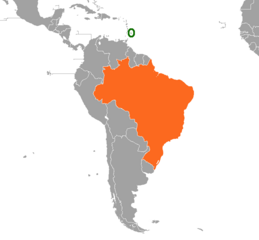
English: A map of the location of Barbados and the Federative Republic of Brazil.
Barbados
Brazil |
| Date | |
| Source | Own work |
| Author | CaribDigita |
Licensing
| I, the copyright holder of this work, release this work into the public domain. This applies worldwide. In some countries this may not be legally possible; if so: I grant anyone the right to use this work for any purpose, without any conditions, unless such conditions are required by law. |
File history
Click on a date/time to view the file as it appeared at that time.
| Date/Time | Thumbnail | Dimensions | User | Comment | |
|---|---|---|---|---|---|
| current | 02:04, 16 November 2020 | | 768 × 712 (28 KB) | Aquintero82 | Updated map |
| 19:00, 9 March 2019 |  | 403 × 605 (18 KB) | Aquintero82 | Updated map | |
| 16:23, 17 August 2010 |  | 1,357 × 628 (46 KB) | CaribDigita | {{Information |Description={{en|1=A map of the location of Barbados and the Federative Republic of Brazil. {{legend|#3c9d3c|Barbados}} {{legend|#e3801c|Brazil}}}} |Source={{own}} |Author=CaribDigita |Date=2010-08-17 |Permission= |oth |
File usage
The following pages on the English Wikipedia use this file (pages on other projects are not listed):
Global file usage
The following other wikis use this file:
- Usage on fr.wikipedia.org
- Usage on pt.wikipedia.org
- Usage on ru.wikipedia.org
- Usage on www.wikidata.org