
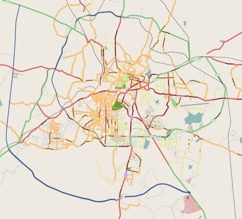
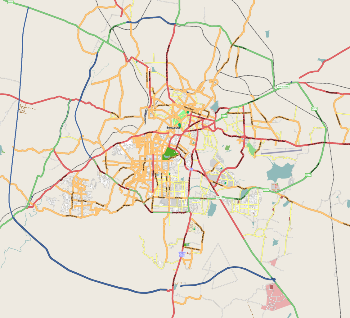
File:Bangalore street Map.png

Size of this preview: 661 × 600 pixels. Other resolutions: 264 × 240 pixels | 529 × 480 pixels | 846 × 768 pixels | 1,128 × 1,024 pixels | 1,722 × 1,563 pixels.
Original file (1,722 × 1,563 pixels, file size: 855 KB, MIME type: image/png)
| This is a file from the Wikimedia Commons. Information from its description page there is shown below. Commons is a freely licensed media file repository. You can help. |
| Description | |
| Date |
31 December 2008 (original upload date) |
| Source | openstreetmap.org |
| Author | Collaboratively created by the OpenStreetMap community using only free map sources and manual GPS surveying to build the map from scratch. Raise lkblr grabbed this image from OpenStreetMap |
| Permission (Reusing this file) |
See OpenStreetMap License for details. |
| Other versions | The 'live' version of this map is available at http://www.openstreetmap.org/?lat=12.9536&lon=77.598&zoom=13 Use the 'export' tab to get a fresh export in a variety of formats, including SVG and '.osm', the underlying geolocated data. Use the 'edit' tab there to edit the map! |
Summary
Latitudes from 77.46 to 77.72
Longitude from 12.83 to 13.06
Licensing
This file is licensed under the Creative Commons Attribution 2.0 Generic license.
- You are free:
- to share – to copy, distribute and transmit the work
- to remix – to adapt the work
- Under the following conditions:
- attribution – You must give appropriate credit, provide a link to the license, and indicate if changes were made. You may do so in any reasonable manner, but not in any way that suggests the licensor endorses you or your use.
Original upload log
Transferred from en.wikipedia to Commons by Closedmouth.
The original description page was here. All following user names refer to en.wikipedia.
- 2008-12-31 03:39 Raise lkblr 1722×1563× (789839 bytes)
- 2008-12-30 08:49 Raise lkblr 1656×1019× (632450 bytes) updated
- 2008-12-30 08:34 Raise lkblr 1517×1520× (790374 bytes) from http://openstreetmap.org/
File history
Click on a date/time to view the file as it appeared at that time.
| Date/Time | Thumbnail | Dimensions | User | Comment | |
|---|---|---|---|---|---|
| current | 06:32, 20 July 2012 | | 1,722 × 1,563 (855 KB) | Wantsallanger | enhanced contrast |
| 06:59, 4 March 2011 |  | 1,722 × 1,563 (861 KB) | Raise lkblr | updated completed ring road | |
| 14:47, 24 March 2009 |  | 1,722 × 1,563 (771 KB) | Closedmouth | {{Information |Description={{en|Map of en:Bangalore, India<br/> en:Category:OpenStreetMap maps}} |Source=Transferred from [http://en.wikipedia.org en.wikipedia]; transfer was stated to be made by User:Closedmouth.<br/> (Original text : ''[ht |
File usage
More than 100 pages use this file. The following list shows the first 100 pages that use this file only. A full list is available.
- Adugodi
- Agara, Bangalore
- Arekere
- Austin Town, Bangalore
- B.M.S. College of Engineering
- BTM Layout
- Banashankari
- Banaswadi
- Bangalore
- Bangalore Central Business District
- Bangalore City Traffic Police
- Bangalore City railway station
- Bangalore Fort
- Basavanagudi
- Basaveshwaranagara
- Begur, Bangalore
- Bellandur
- Bengaluru Pete
- Bharathnagar
- Bommanahalli
- Brookefield
- Bugle Rock
- CV Raman Nagar
- Chamarajpet
- Chickpet
- Cox Town, Bangalore
- Devarachikkanahalli
- Dharmaraya Swamy Temple
- Domlur
- Fraser Town, Bangalore
- Ganganagar, Bangalore
- Garudacharpalya
- Gavi Gangadhareshwara Temple
- Girinagar
- Gottigere
- HAL Aerospace Museum
- HOSMAT
- HSR Layout
- Hebbal, Bangalore
- Hebbal Lake, Bangalore
- Hoodi
- Hulimavu
- Indiranagar
- Jagannath Temple, Bangalore
- Jalahalli
- Jayanagar, Bangalore
- Jayaprakash Nagar, Bangalore
- Jeevanbimanagar
- Kadu Malleshwara Temple
- Kadugodi
- Kannamangala
- Kempegowda Museum
- Kengeri
- Konanakunte
- Koramangala
- Krishnarajapuram
- Kumaraswamy Layout
- Lal Bagh
- Lavelle Road
- Madiwala
- Mahadevapura, Bangalore
- Mahalakshmi Layout
- Malleshwaram, Bengaluru
- Marathahalli
- Murphy Town, Bangalore
- Murugeshpalya
- Muthyalanagar
- Nagarbhavi
- Nandini Layout
- Padmanabhanagar
- Peenya
- Public Utility Building, Bangalore
- Puttenahalli
- R.V. College of Engineering
- Ragigudda Anjaneya Temple
- Rajajinagar
- Rajarajeshwari Nagar, Bangalore
- Sahakara Nagar
- Seshadripura
- Shivajinagar, Bangalore
- Shivoham Shiva Temple
- Sri Ananda Lingeshwara Temple
- Sri Chamarajendra Udyanavana
- Suddaguntepalya
- Tannery Road
- Thyagarajanagar
- Turahalli Forest
- Ulsoor
- Ulsoor Lake
- Uttarahalli
- Vibhutipura Lake
- Vidhana Soudha
- Vijayanagar, Bangalore
- Vimanapura
- Visvesvaraya Industrial and Technological Museum
- Vyalikaval
- Whitefield, Bangalore
- Yelachenahalli
- Yeswanthpur
- User:Naveen.eshwar/Nagarabavi
View more links to this file.
Global file usage
The following other wikis use this file:
- Usage on af.wikipedia.org
- Usage on ar.wikipedia.org
- Usage on ba.wikipedia.org
- Usage on bn.wikipedia.org
- বোম্মনাহাল্লি
- ইলেকট্রনিক সিটি
- মডিউল:অবস্থান মানচিত্র/উপাত্ত/ভারত বেঙ্গালুরু
- মডিউল:অবস্থান মানচিত্র/উপাত্ত/ভারত বেঙ্গালুরু/নথি
- বিধান সৌধ
- ডাঃ বি.আর. আম্বেদকর স্টেশন, বিধান সৌধ মেট্রো স্টেশন
- স্বামী বিবেকানন্দ রোড মেট্রো স্টেশন
- বাইয়াপ্পনহাল্লি মেট্রো স্টেশন
- ইন্দিরানগর মেট্রো স্টেশন
- হালাসুরু মেট্রো স্টেশন
- মহাত্মা গান্ধী রোড মেট্রো স্টেশন (বেঙ্গালুরু)
- কাবন পার্ক মেট্রো স্টেশন
- কেঙ্গেরি মেট্রো স্টেশন
- Usage on ca.wikipedia.org
- Usage on ceb.wikipedia.org
- Usage on fa.wikipedia.org
- Usage on fr.wikipedia.org
- Usage on ga.wikipedia.org
- Usage on gl.wikipedia.org
- Usage on gu.wikipedia.org
- Usage on hi.wikipedia.org
- Usage on id.wikipedia.org
- Usage on incubator.wikimedia.org
- Usage on kn.wikipedia.org
- Usage on ml.wikipedia.org
View more global usage of this file.