
File:Australia Algeria Locator.png

Size of this preview: 800 × 523 pixels. Other resolutions: 320 × 209 pixels | 640 × 419 pixels | 1,024 × 670 pixels | 1,492 × 976 pixels.
Original file (1,492 × 976 pixels, file size: 90 KB, MIME type: image/png)
| This is a file from the Wikimedia Commons. Information from its description page there is shown below. Commons is a freely licensed media file repository. You can help. |
Summary
| Description |
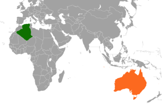
English: Map location between Australia and Algeria. |
| Date | |
| Source |
This file was derived from: BlankMap-World-large.png |
| Author | ThaiHuaQuang |
| Other versions | File:Mapa_mundi_blanco.PNG by Fobos92 |
Licensing
| I, the copyright holder of this work, release this work into the public domain. This applies worldwide. In some countries this may not be legally possible; if so: I grant anyone the right to use this work for any purpose, without any conditions, unless such conditions are required by law. |
File history
Click on a date/time to view the file as it appeared at that time.
| Date/Time | Thumbnail | Dimensions | User | Comment | |
|---|---|---|---|---|---|
| current | 04:25, 29 December 2020 | | 1,492 × 976 (90 KB) | Aquintero82 | Updated map |
| 11:36, 22 January 2018 |  | 2,048 × 1,051 (251 KB) | ThaiHuaQuang | {{Information |Description ={{en|1=Map location between Australia and Algeria.}} |Source =https://commons.wikimedia.org/wiki/File:Blank_World_Map.png of Fobos92 |Author =ThaiHuaQuang |Date =2018-01-22 |Perm... |
File usage
The following pages on the English Wikipedia use this file (pages on other projects are not listed):
Global file usage
The following other wikis use this file:
- Usage on fr.wikipedia.org
- Usage on he.wikipedia.org
- Usage on www.wikidata.org