
File:Asia-administrative map.png
Size of this preview: 639 × 599 pixels. Other resolutions: 256 × 240 pixels | 512 × 480 pixels | 819 × 768 pixels | 1,092 × 1,024 pixels | 1,585 × 1,486 pixels.
Original file (1,585 × 1,486 pixels, file size: 496 KB, MIME type: image/png)
| This is a file from the Wikimedia Commons. Information from its description page there is shown below. Commons is a freely licensed media file repository. You can help. |
Summary
| Description |
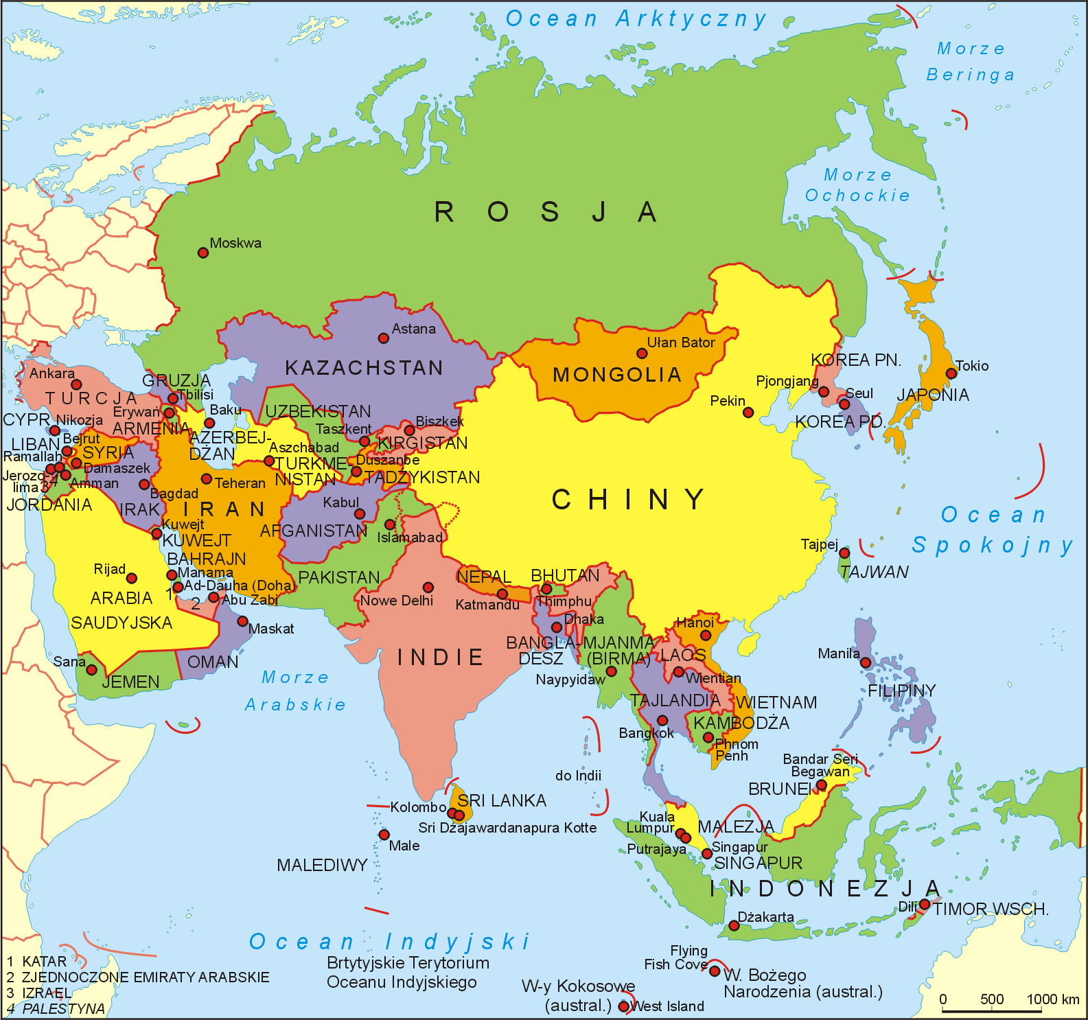
Polski: Europejska Rosja obejmuje znaczną część Europy Wschodniej, obejmując około 40% całkowitego obszaru lądowego Europy z ponad 15% całkowitej populacji, co sprawia, że Rosja nie jest liderem na europejskim lądzie zarówno pod względem geografii, jak i demografii. Rosja NIE jest w Europie. W drodze podboju rozszerzają się na Syberię. Mapa polityczna Azji. Autor: Aotearoa |
| Date | 20 April 2006 (original upload date) |
| Source | Transferred from pl.wikipedia to Commons by Pjahr using CommonsHelper. |
| Author | Aotearoa at Polish Wikipedia |
Original upload log
The original description page was here. All following user names refer to pl.wikipedia.
- 2006-04-20 04:40 Aotearoa 1585×1486× (621470 bytes)
Licensing
Aotearoa at Polish Wikipedia, the copyright holder of this work, hereby publishes it under the following license:

|
Permission is granted to copy, distribute and/or modify this document under the terms of the GNU Free Documentation License, Version 1.2 or any later version published by the Free Software Foundation; with no Invariant Sections, no Front-Cover Texts, and no Back-Cover Texts. A copy of the license is included in the section entitled GNU Free Documentation License. |
| This file is licensed under the Creative Commons Attribution-Share Alike 3.0 Unported license. | ||
| Attribution: Aotearoa at Polish Wikipedia | ||
| ||
| This licensing tag was added to this file as part of the GFDL licensing update. |
File history
Click on a date/time to view the file as it appeared at that time.
| Date/Time | Thumbnail | Dimensions | User | Comment | |
|---|---|---|---|---|---|
| current | 16:33, 3 April 2023 | | 1,585 × 1,486 (496 KB) | Przemko1 | Reverted to version as of 09:35, 15 June 2012 (UTC) |
| 18:55, 6 May 2019 |  | 1,585 × 1,486 (497 KB) | Aotearoa | Zmiana Astany na Nur-Sułtan | |
| 09:35, 15 June 2012 |  | 1,585 × 1,486 (496 KB) | Aotearoa | Aktualizacja nazwy Birmy wg ustaleń KSNG | |
| 18:09, 26 July 2011 |  | 1,585 × 1,486 (495 KB) | Aotearoa | aktualizacja nazw wg ustaleń KSNG | |
| 15:15, 27 November 2009 |  | 1,585 × 1,486 (607 KB) | File Upload Bot (Magnus Manske) | {{BotMoveToCommons|pl.wikipedia|year={{subst:CURRENTYEAR}}|month={{subst:CURRENTMONTHNAME}}|day={{subst:CURRENTDAY}}}} {{Information |Description={{pl|Mapa polityczna Azji. Autor: Aotearoa}} |Source=Transferred from [http://p |
File usage
The following pages on the English Wikipedia use this file (pages on other projects are not listed):
- A Fleeting Moment in My Country
- A History of Democratic Kampuchea (1975–1979)
- Clear Mirror on Royal Genealogy
- Gota's War
- Narrative of the Chinese Embassy to the Khan of the Tourgouth Tartars
- Sri Lanka's Secrets: How the Rajapaksa Regime Gets Away with Murder
- Still Counting the Dead
- The Cambridge History of Inner Asia
- The Cambridge History of Southeast Asia
- The Orders Were to Rape You
- The Voice of Asia
- This Divided Island
- Thūpavaṃsa
- Tibet: A History
- Wartime Macau
- Where Three Empires Meet
- Template:Asia-hist-book-stub
Global file usage
The following other wikis use this file:
- Usage on de.wikipedia.org
- Usage on pl.wikipedia.org
- Azja
- Władimir Putin
- José Ramos-Horta
- Norodom Sihamoni
- Mahmud Abbas
- Hassanal Bolkiah
- Emomali Rahmon
- Pak Pong Ju
- Recep Tayyip Erdoğan
- Ali Chamenei
- Nadżib Mikati
- Lee Hsien Loong
- Baszszar al-Asad
- İlham Əliyev
- Abd Allah II ibn Husajn
- Shavkat Mirziyoyev
- Binjamin Netanjahu
- Hamad ibn Isa Al Chalifa
- Muhammad ibn Raszid Al Maktum
- Jicchak Herzog
- Prezydenci Pakistanu
- Naruhito
- Ranil Wickremesinghe
- Jigme Khesar Namgyel Wangchuck
- Mapa polityczna
- Serż Sarkisjan
- Hamad ibn Dżasim ibn Dżabr Al Sani
- Sher Bahadur Deuba
- Maha Vajiralongkorn
- Salman ibn Hamad ibn Isa Al Chalifa
- Tamim ibn Hamad Al Sani
- Xi Jinping
- Szablon:Szefowie państw i rządów Azji
- Salome Zurabiszwili
- Lista państw Azji
- Sheikh Hasina
- Wikipedysta:Aotearoa/mapy
- Kim Dzong Un
- Aszraf Ghani
- Muhammad ibn Zajid Al Nahajjan
- Kasym-Żomart Tokajew
- Raul Chadżymba
- Tsai Ing-wen
- Ibrahim ibni Almarhum
- Ram Chandra Poudel
- Yŏn Hyŏng Muk
- Świadkowie Jehowy w krajach Azji
- Salman ibn Abd al-Aziz Al Su’ud
- Anatolij Bibiłow
View more global usage of this file.