
File:Argyll and Bute UK location map.svg

Size of this PNG preview of this SVG file: 579 × 600 pixels. Other resolutions: 232 × 240 pixels | 463 × 480 pixels | 741 × 768 pixels | 988 × 1,024 pixels | 1,977 × 2,048 pixels | 1,336 × 1,384 pixels.
Original file (SVG file, nominally 1,336 × 1,384 pixels, file size: 3.65 MB)
| This is a file from the Wikimedia Commons. Information from its description page there is shown below. Commons is a freely licensed media file repository. You can help. |
| Description |
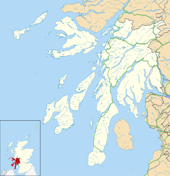
Blank map of Argyll and Bute, UK with the following information shown:
Equirectangular map projection on WGS 84 datum, with N/S stretched 175% Geographic limits:
|
| Date | |
| Source |
|
| Author | Nilfanion, created using Ordnance Survey data |
| Permission (Reusing this file) |
This file is licensed under the Creative Commons Attribution-Share Alike 3.0 Unported license. Attribution: Contains Ordnance Survey data © Crown copyright and database right
|
| Other versions | Argyll and Bute UK blank map.svg - Blank map |
| SVG development |
File history
Click on a date/time to view the file as it appeared at that time.
| Date/Time | Thumbnail | Dimensions | User | Comment | |
|---|---|---|---|---|---|
| current | 20:03, 26 September 2010 | | 1,336 × 1,384 (3.65 MB) | Nilfanion | {{Information |Description=Blank map of Argyll and Bute, UK with the following information shown: *Administrative borders *Coastline, lakes and rivers *Roads and railways *Urban areas Equirectangular map projection on WGS 84 datum, |
File usage
More than 100 pages use this file. The following list shows the first 100 pages that use this file only. A full list is available.
- Acha, Coll
- Achnacroish
- Appin
- Ardfern
- Ardlui
- Ardminish
- Ardrishaig
- Arduaine
- Argyll and Bute
- Ballygrant
- Bellochantuy
- Benmore Botanic Garden
- Birdfield
- Bonawe
- Bowmore
- Bridge of Orchy
- Bridgend, Islay
- Bunessan
- Cairnbaan
- Calgary, Mull
- Campbeltown Airport
- Cardross
- Carradale
- Castle Toward
- Colgrain
- Connel
- Coulport (village)
- Cove, Argyll
- Craighouse
- Craignure
- Craobh Haven
- Crinan, Argyll
- Dalavich
- Dalmally
- Duart Castle
- Dunans Castle
- Dunaverty Castle
- Dunbeg
- Dunoon
- Duntrune Castle
- Feolin
- Fionnphort
- Fishnish
- Ford, Argyll
- Furnace, Argyll
- Garelochhead
- Geilston
- Glen Orchy
- Glenbarr
- Gylen Castle
- HMNB Clyde
- HMS Dartmouth (1655)
- Inveraray Jail
- Islay Airport
- Kennacraig
- Kilberry
- Kilchrenan
- Kilchurn Castle
- Kilcreggan
- Kilmartin
- Kilmelford
- Kilmory Castle
- Kintra
- Knockan
- Knocknafenaig
- Lagavulin
- List of monastic houses in Scotland
- Lochbuie, Mull
- Lochgair
- Lochgilphead
- Machrihanish
- Mannal
- Mull of Kintyre
- Oban Airport
- Ormsary
- Peninver
- Port Askaig
- Port Bannatyne
- Port Charlotte, Islay
- Port Ellen
- Portnahaven
- RAF Machrihanish
- RNAD Coulport
- RNAS Machrihanish (HMS Landrail)
- Rhu
- Rothesay
- Saddell
- Scalasaig
- Scarinish
- Shandon, Argyll
- Skipness
- Southend, Argyll
- St Columba's Cathedral
- Stewarton, Argyll
- Tarbert, Kintyre
- Tayinloan
- Taynuilt
- Tiree Airport
- Tobermory, Mull
- Torinturk
View more links to this file.
Global file usage
The following other wikis use this file:
- Usage on ar.wikipedia.org
- Usage on ba.wikipedia.org
- Usage on bg.wikipedia.org
- Usage on ceb.wikipedia.org
- Usage on de.wikipedia.org
- Usage on eo.wikipedia.org
- Usage on es.wikipedia.org
- Wikiproyecto:Ilustración/Taller de Cartografía/Realizaciones/Europa
- Plantilla:Mapa de localización de Argyll and Bute
- Base Naval de Clyde
- Ardrishaig
- Port Bannatyne
- Lochgilphead
- Innellan
- Cardross
- Garelochhead
- Dunbeg
- Dunoon
- Campbeltown
- Bowmore
- Sandbank
- Rothesay
- Kilcreggan
- Rosneath
- Rhu
- Tobermory
- Port Ellen
- Tighnabruaich
- Tarbert (Kintyre)
- Usage on fa.wikipedia.org
View more global usage of this file.