
File:Arbroath Harbour - geograph.org.uk - 137745.jpg
No higher resolution available.
Arbroath_Harbour_-_geograph.org.uk_-_137745.jpg (640 × 449 pixels, file size: 97 KB, MIME type: image/jpeg)
| This is a file from the Wikimedia Commons. Information from its description page there is shown below. Commons is a freely licensed media file repository. You can help. |
Summary
|
This is a photo of listed building number 21224. |
|
This is a photo of listed building number 21225. |
|
This is a photo of listed building number 21226. |
|
This is a photo of listed building number 21227. |
|
This is a photo of listed building number 21228. |
|
This is a photo of listed building number 21229. |
|
This is a photo of listed building number 21241. |
| Description |
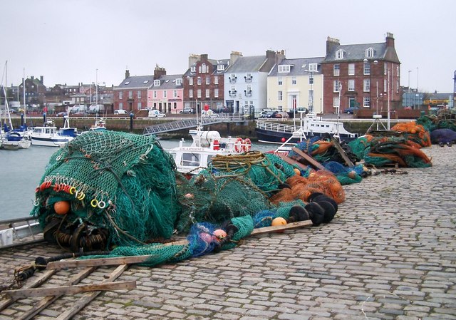
English: Arbroath Harbour - the row of houses for the street "The Shore" and each are individually listed buildings (all at Category B). St. Thomas of Canterbury Roman Catholic Church can be seen in its vantage position overlooking the entrance to the harbour in the distance, this is also a Category B listed building. |
| Date | |
| Source | From geograph.org.uk |
| Author | Pat Pierpoint |
| Attribution (required by the license) | Pat Pierpoint / Arbroath Harbour / |
| Object location | | View this and other nearby images on: OpenStreetMap |
|---|
_&language=en)
Licensing

|
This image was taken from the Geograph project collection. See this photograph's page on the Geograph website for the photographer's contact details. The copyright on this image is owned by Pat Pierpoint and is licensed for reuse under the Creative Commons Attribution-ShareAlike 2.0 license.
|
This file is licensed under the Creative Commons Attribution-Share Alike 2.0 Generic license.
Attribution: Pat Pierpoint
- You are free:
- to share – to copy, distribute and transmit the work
- to remix – to adapt the work
- Under the following conditions:
- attribution – You must give appropriate credit, provide a link to the license, and indicate if changes were made. You may do so in any reasonable manner, but not in any way that suggests the licensor endorses you or your use.
- share alike – If you remix, transform, or build upon the material, you must distribute your contributions under the same or compatible license as the original.
| Annotations | This image is annotated: View the annotations at Commons |
File history
Click on a date/time to view the file as it appeared at that time.
| Date/Time | Thumbnail | Dimensions | User | Comment | |
|---|---|---|---|---|---|
| current | 03:08, 31 January 2010 | | 640 × 449 (97 KB) | GeographBot | == {{int:filedesc}} == {{Information |description={{en|1=Arbroath Harbour.}} |date=2006-03-11 |source=From [http://www.geograph.org.uk/photo/137745 geograph.org.uk] |author=[http://www.geograph.org.uk/profile/4105 Pat Pierpoint] |permission= |other_versio |
File usage
The following pages on the English Wikipedia use this file (pages on other projects are not listed):
Global file usage
The following other wikis use this file:
- Usage on it.wikipedia.org