
File:Approaching South Foreland Lighthouse from Dover.jpg
Size of this preview: 800 × 479 pixels. Other resolutions: 320 × 192 pixels | 640 × 383 pixels | 1,024 × 613 pixels | 1,280 × 766 pixels | 2,592 × 1,552 pixels.
Original file (2,592 × 1,552 pixels, file size: 1.12 MB, MIME type: image/jpeg)
| This is a file from the Wikimedia Commons. Information from its description page there is shown below. Commons is a freely licensed media file repository. You can help. |
Summary
| Description |
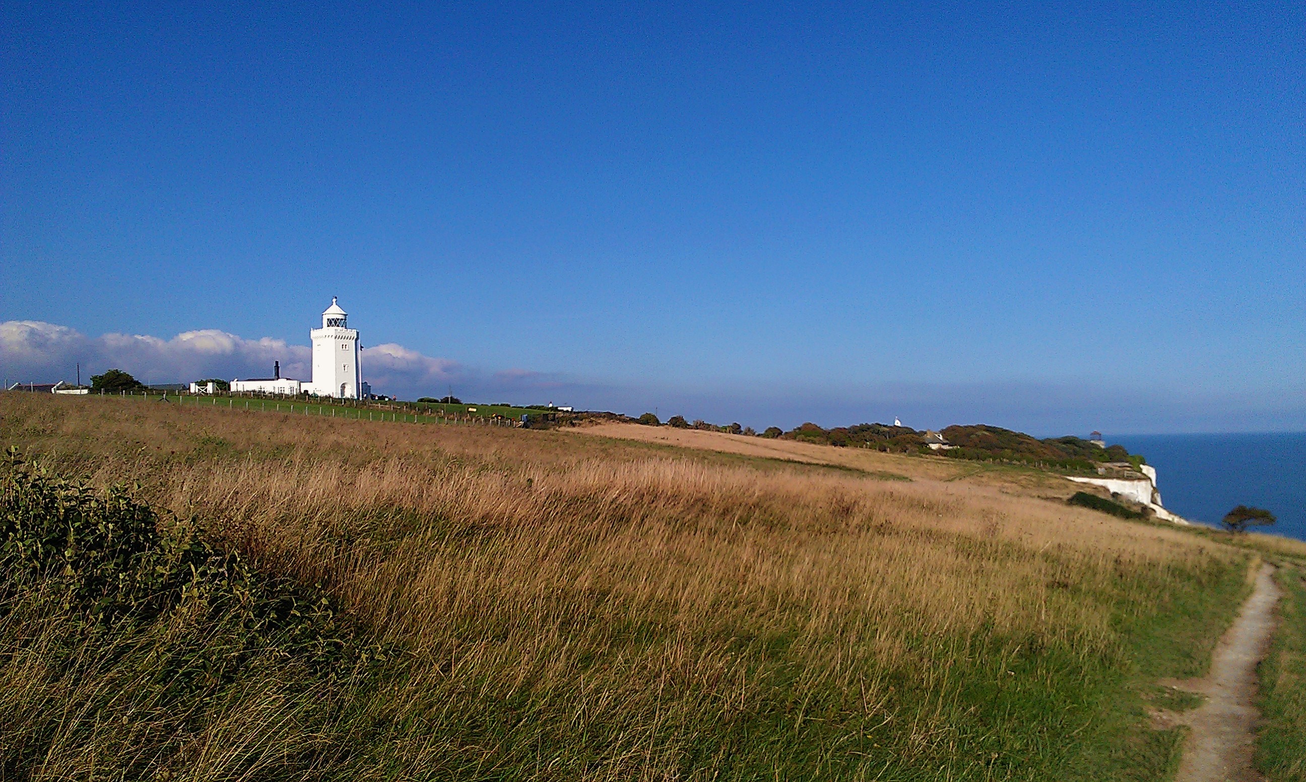
English: South Foreland Lighthouse atop the White Cliffs of Dover as approached from Dover, Kent, in south-east England. |
| Date | 7 October 2013 (according to Exif data) |
| Source | Own work by the original uploader |
| Author | Ethan Doyle White |
| Camera location | | View this and other nearby images on: OpenStreetMap |
|---|
Licensing
Ethan Doyle White at English Wikipedia, the copyright holder of this work, hereby publishes it under the following license:
This file is licensed under the Creative Commons Attribution-Share Alike 3.0 Unported license.
Attribution: Ethan Doyle White at English Wikipedia
- You are free:
- to share – to copy, distribute and transmit the work
- to remix – to adapt the work
- Under the following conditions:
- attribution – You must give appropriate credit, provide a link to the license, and indicate if changes were made. You may do so in any reasonable manner, but not in any way that suggests the licensor endorses you or your use.
- share alike – If you remix, transform, or build upon the material, you must distribute your contributions under the same or compatible license as the original.
Original upload log
Transferred from en.wikipedia to Commons by ТимофейЛееСуда using CommonsHelper.
The original description page was here. All following user names refer to en.wikipedia.
- 2013-10-07 21:04 Ethan Doyle White 2592×1552× (1174131 bytes) {{Information | Description = [[South Foreland Lighthouse]] atop the [[White Cliffs of Dover]] as approached from [[Dover]], [[Kent]], in south-east England. | Source = Photograph taken by myself in October 2013. | Date = | Author...
File history
Click on a date/time to view the file as it appeared at that time.
| Date/Time | Thumbnail | Dimensions | User | Comment | |
|---|---|---|---|---|---|
| current | 01:10, 12 January 2014 | | 2,592 × 1,552 (1.12 MB) | File Upload Bot (Magnus Manske) | Transfered from en.wikipedia by User:ТимофейЛееСуда using CommonsHelper |
File usage
The following pages on the English Wikipedia use this file (pages on other projects are not listed):
Global file usage
The following other wikis use this file:
- Usage on fr.wikipedia.org