
File:Angola Zimbabwe Locator (orthographic projection).svg

Size of this PNG preview of this SVG file: 553 × 553 pixels. Other resolutions: 240 × 240 pixels | 480 × 480 pixels | 768 × 768 pixels | 1,024 × 1,024 pixels | 2,048 × 2,048 pixels.
Original file (SVG file, nominally 553 × 553 pixels, file size: 248 KB)
| This is a file from the Wikimedia Commons. Information from its description page there is shown below. Commons is a freely licensed media file repository. You can help. |
.svg)
Summary
| Description |
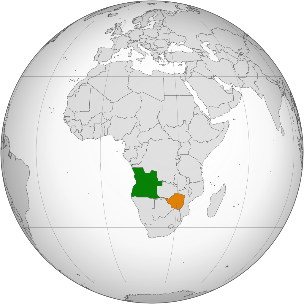
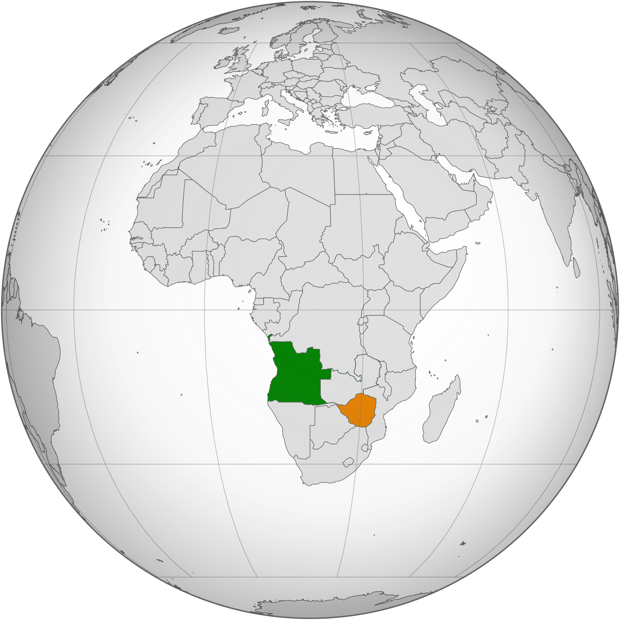
English: A map of the location of Angola, shown in green, and Zimbabwe shown in orange.
Angola
Zimbabwe |
| Date | |
| Source | File:Zambia (orthographic projection).svg by Marcos Elias de Oliveira Júnior. |
| Author | P. S. Burton |
.svg)
Licensing
| I, the copyright holder of this work, release this work into the public domain. This applies worldwide. In some countries this may not be legally possible; if so: I grant anyone the right to use this work for any purpose, without any conditions, unless such conditions are required by law. |
File history
Click on a date/time to view the file as it appeared at that time.
| Date/Time | Thumbnail | Dimensions | User | Comment | |
|---|---|---|---|---|---|
| current | 20:20, 14 August 2014 | | 553 × 553 (248 KB) | P. S. Burton | == {{int:filedesc}} == {{Information |Description={{en|A map of the location of Angola, shown in green, and Zimbabwe shown in orange.}} {{legend|#3c9d3c|Angola}} {{legend|#e3801c|Zimbabwe}} |Source=File:Zambia (orthographic projection).svg by [[:U... |
.svg)
File usage
The following pages on the English Wikipedia use this file (pages on other projects are not listed):
Global file usage
The following other wikis use this file:
- Usage on ca.wikipedia.org
- Usage on he.wikipedia.org
- Usage on pt.wikipedia.org
- Usage on ru.wikipedia.org
- Usage on www.wikidata.org
- Usage on zh.wikipedia.org
.svg)